Iceland Divide
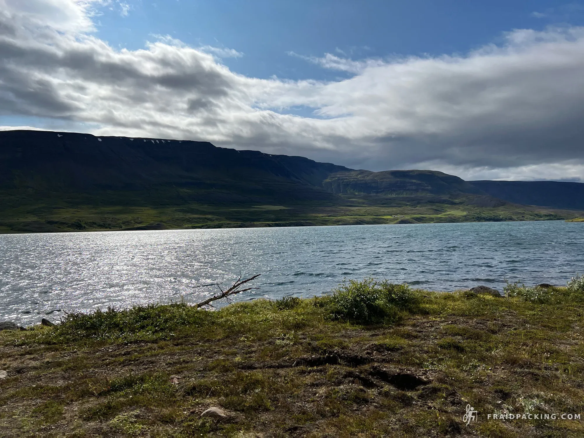
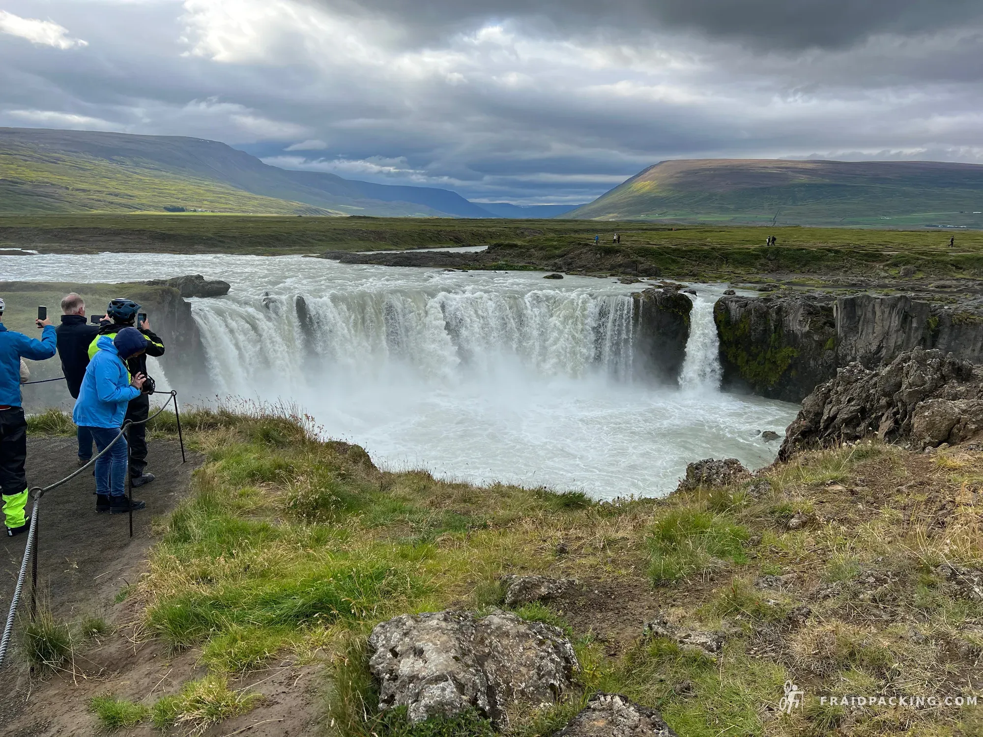
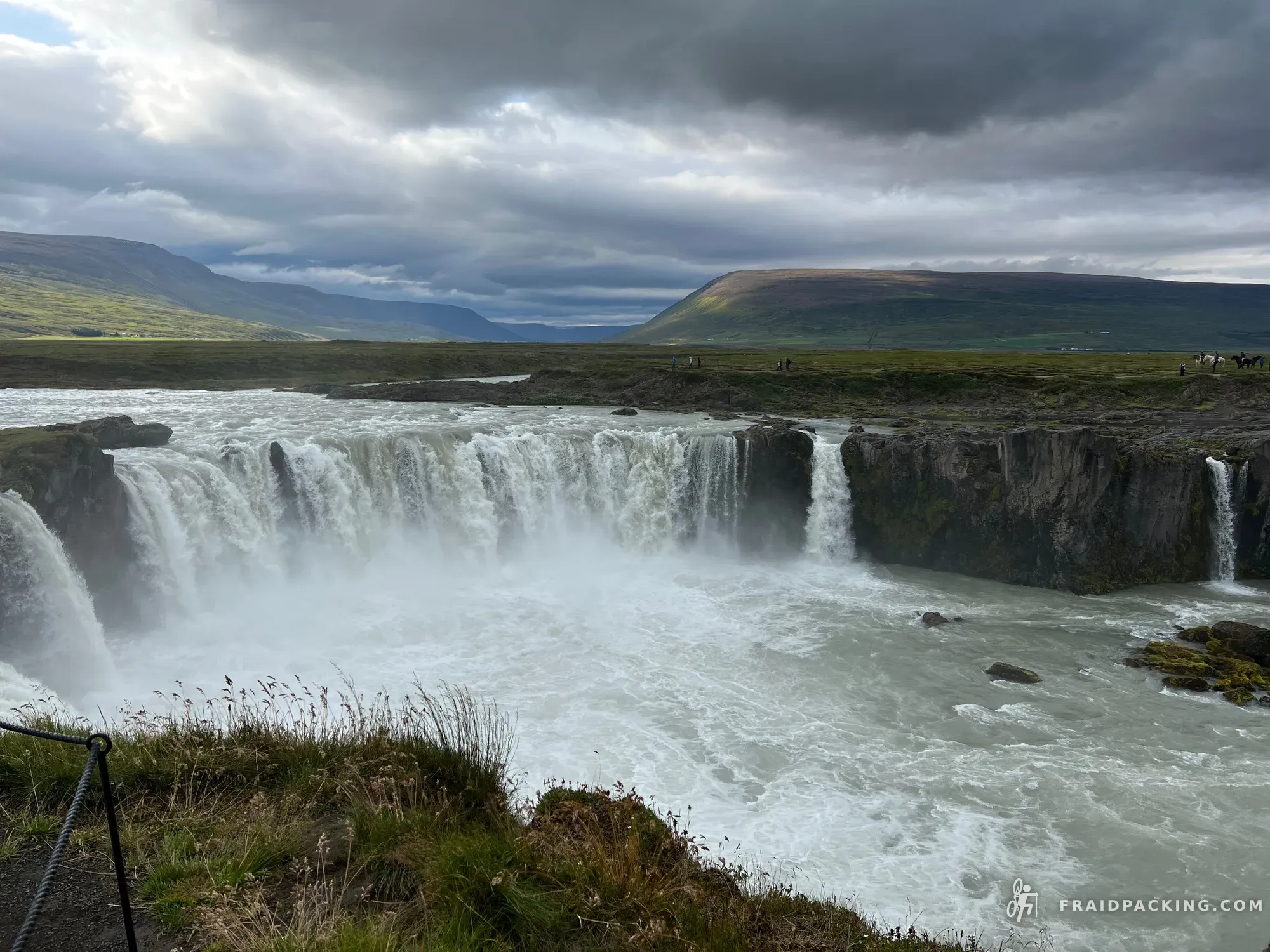
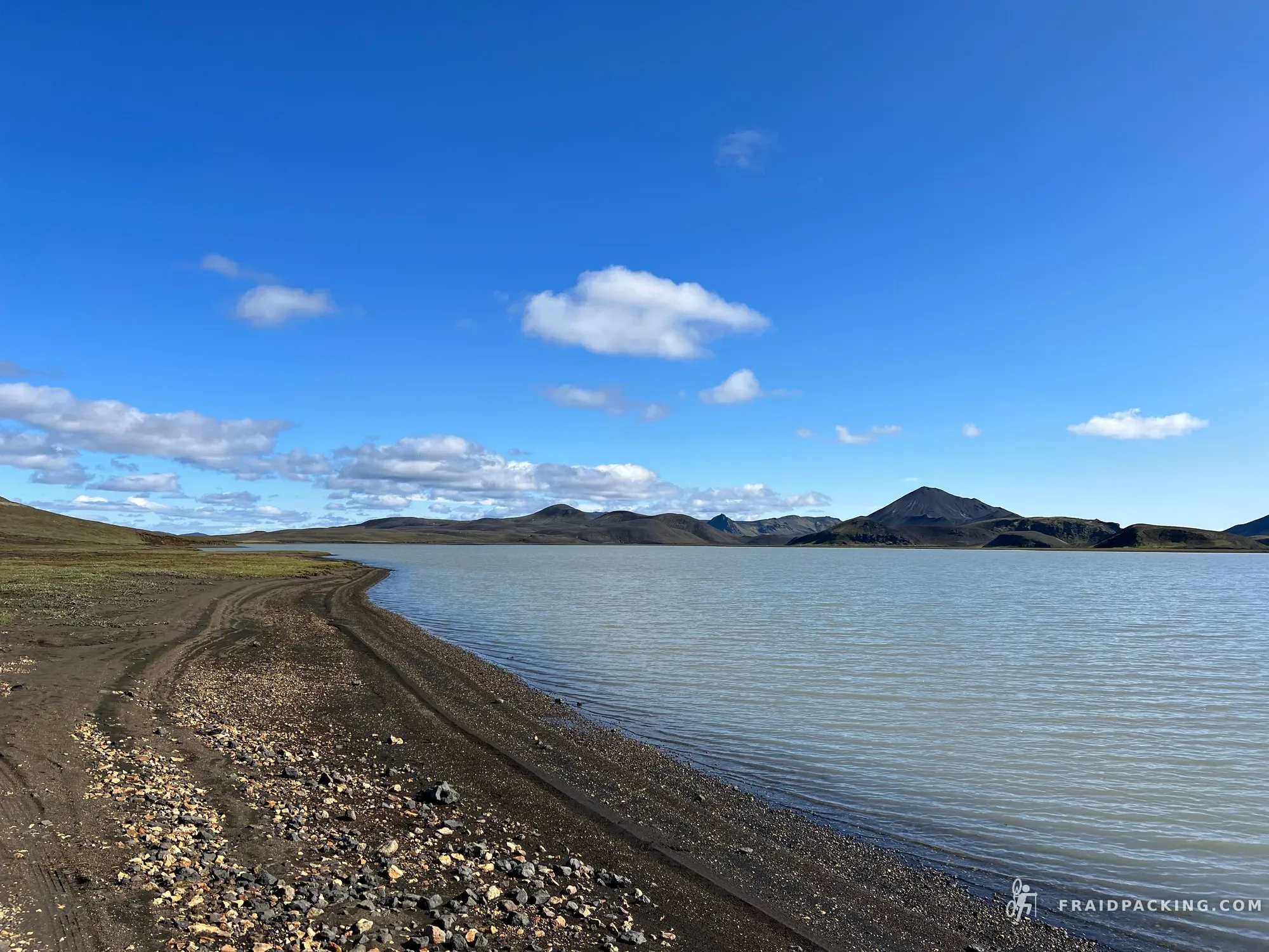
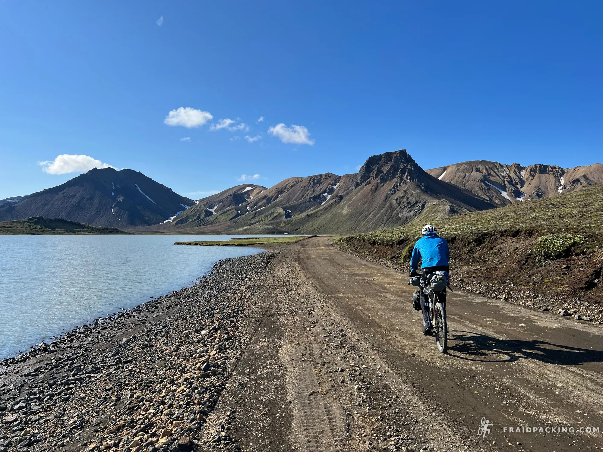
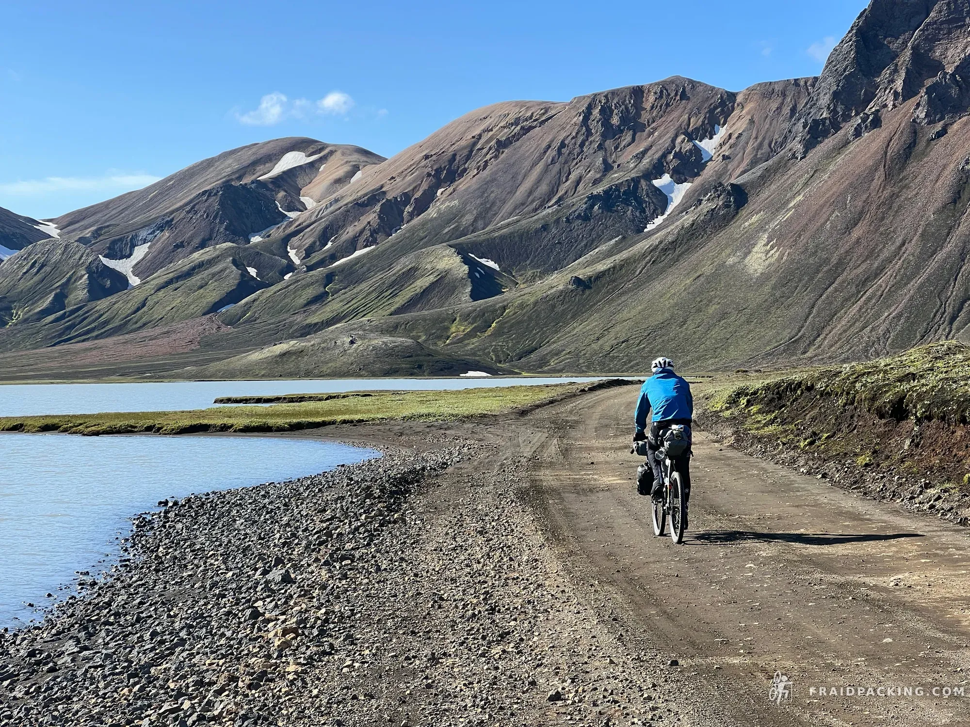
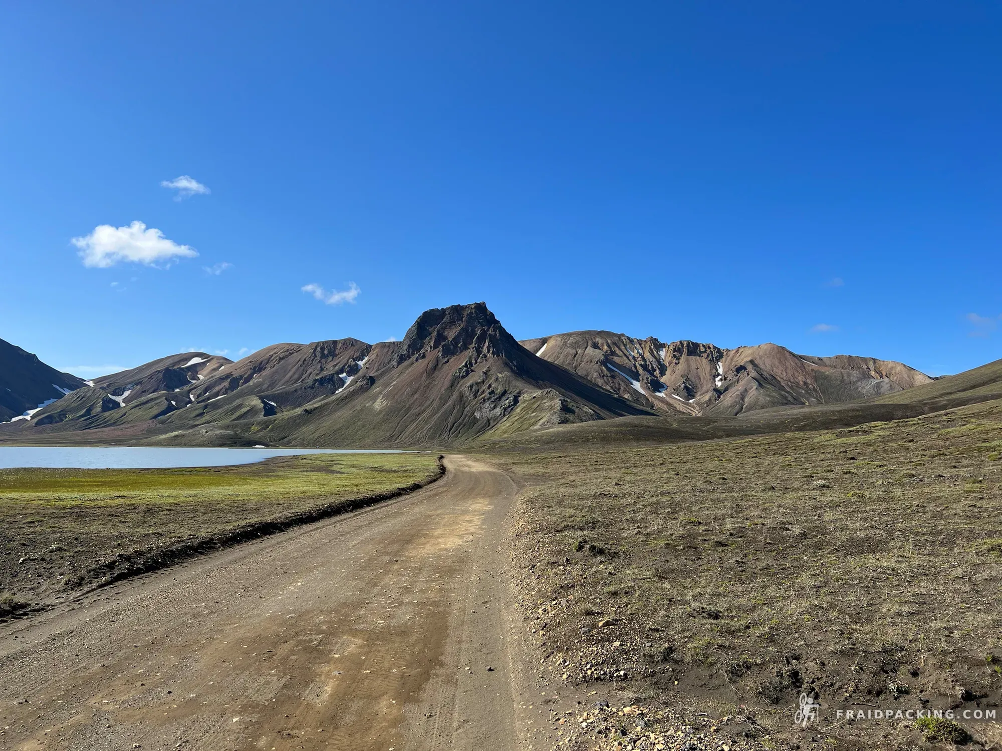
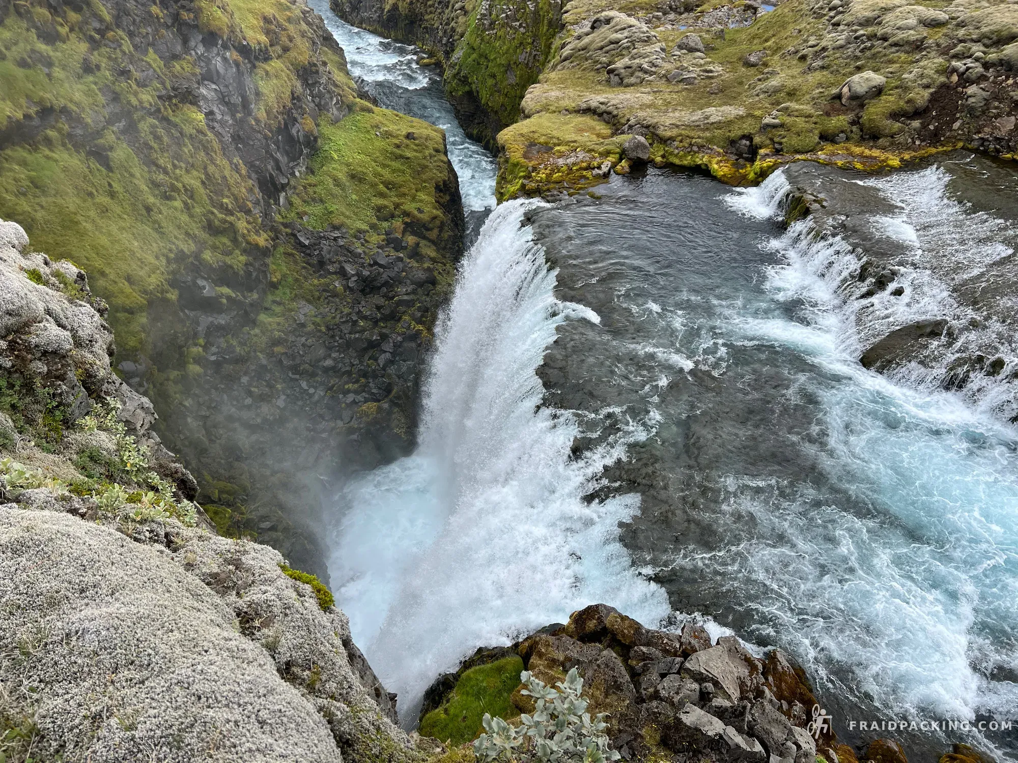
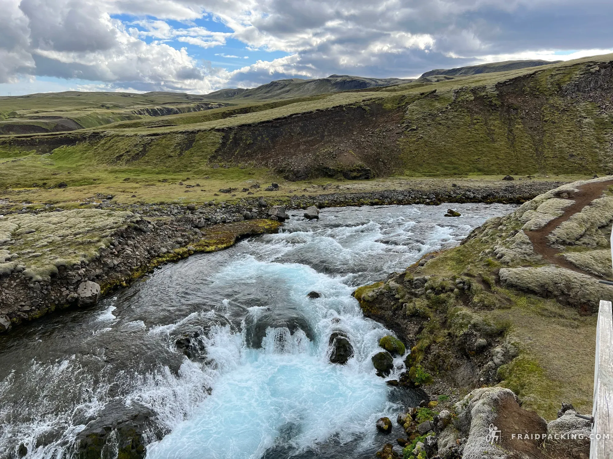
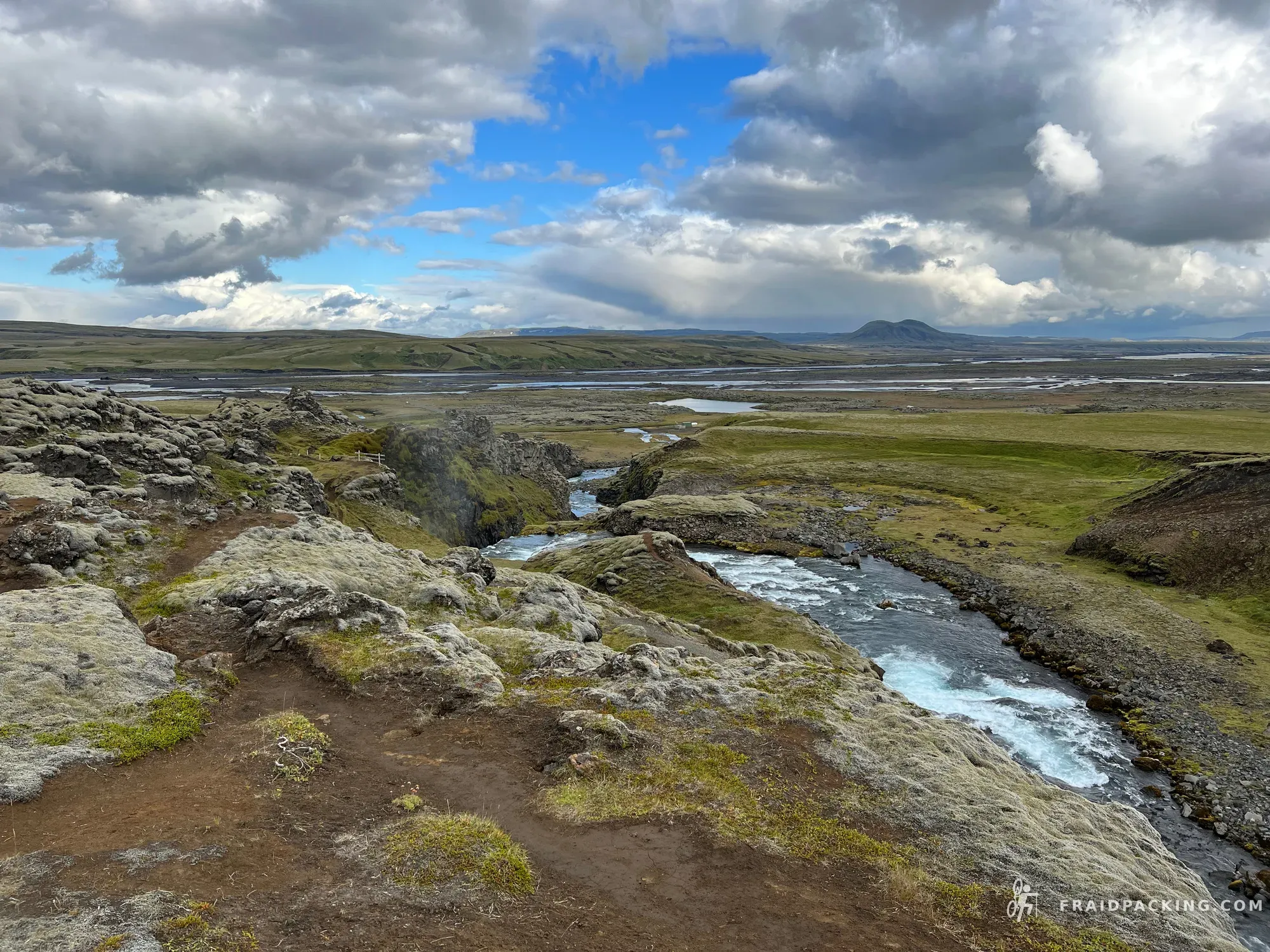
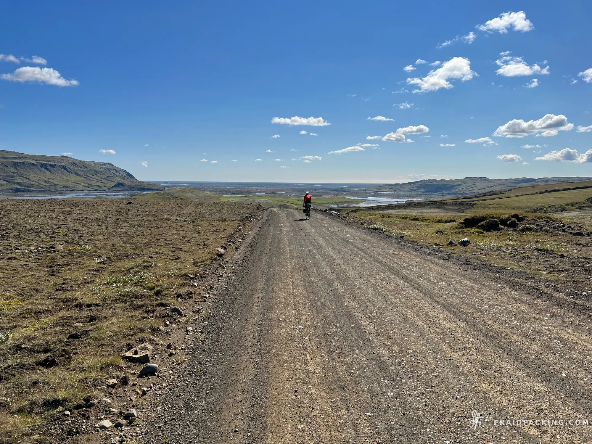
The Iceland Divide is a 500-kilometre traverse of the island's raw interior, crossing lava deserts, glacial rivers, and black sand plains between Akureyri in the north and Vik on the Atlantic coast. Seven days, 5,000 metres of climbing, and almost no one else around — this is Iceland stripped of its tourist edges, navigated by GPS track and stubbornness in equal measure. The route cuts through the Ódáðahraun, one of Europe's largest lava deserts, before threading the Sprengisandur corridor between two of the continent's biggest ice caps. The reward for four days in the monochrome interior arrives at Landmannalaugar, where the rhyolite mountains glow in oxidised reds and yellows — a landscape that looks like the planet reset itself overnight. Route inspired by Montanus' Iceland Divide.
Route
↓ Download GPX- 1
Akureyri - Botni hut
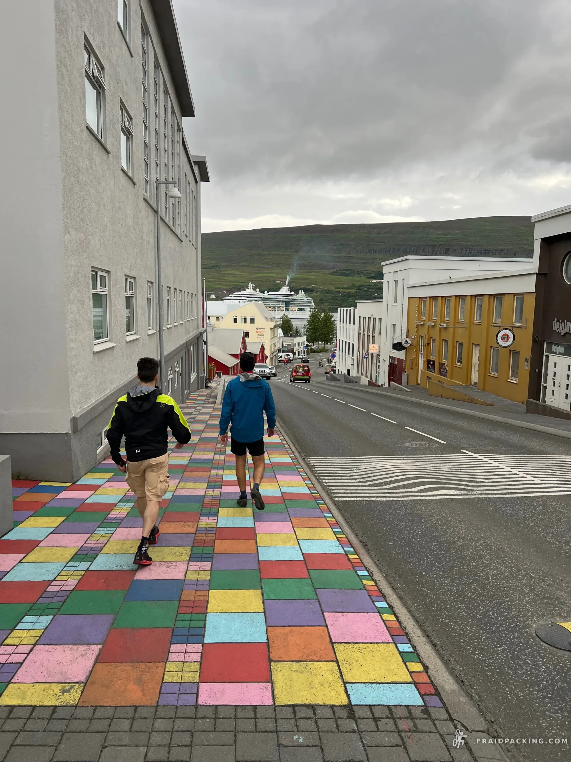
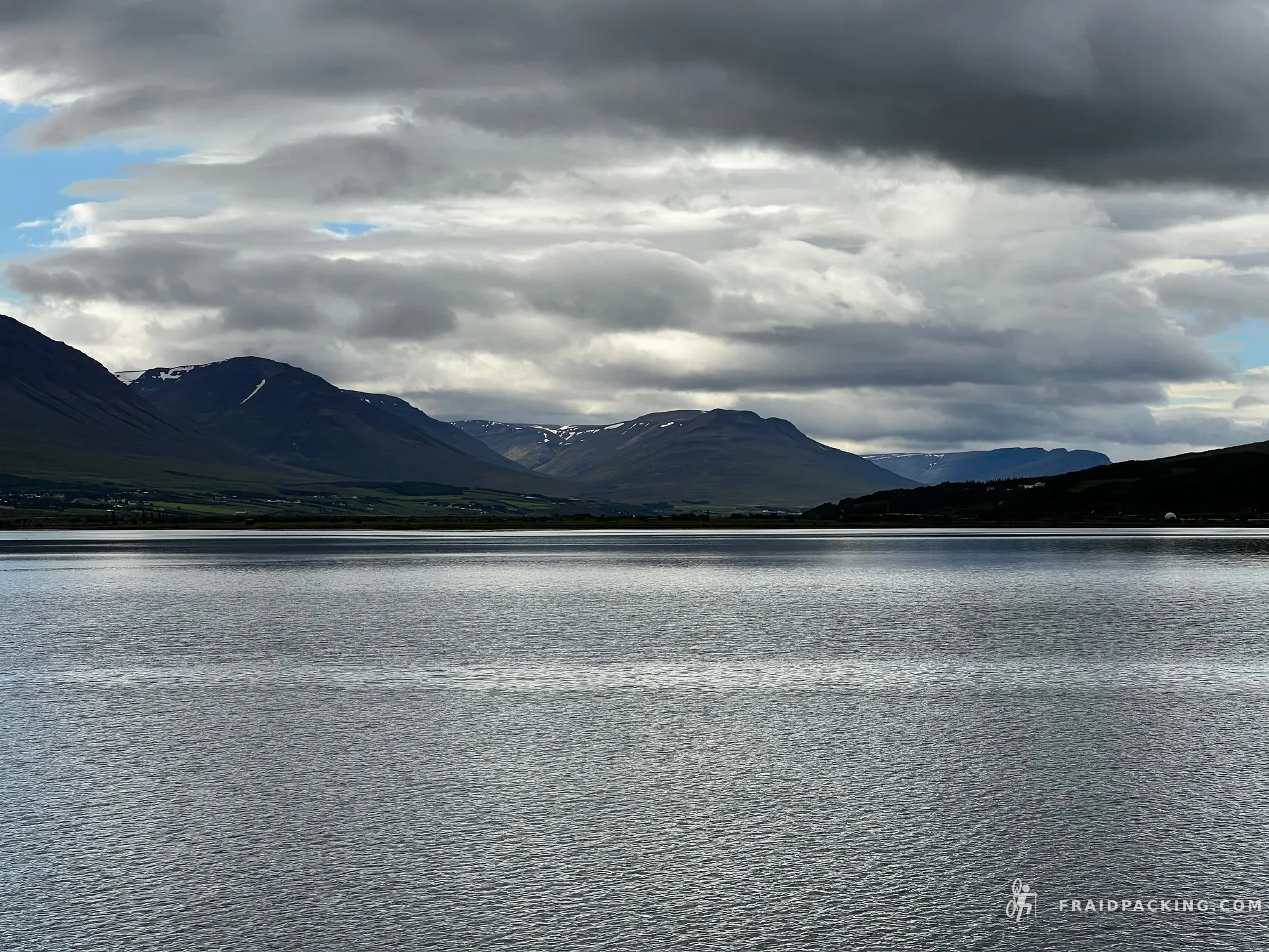
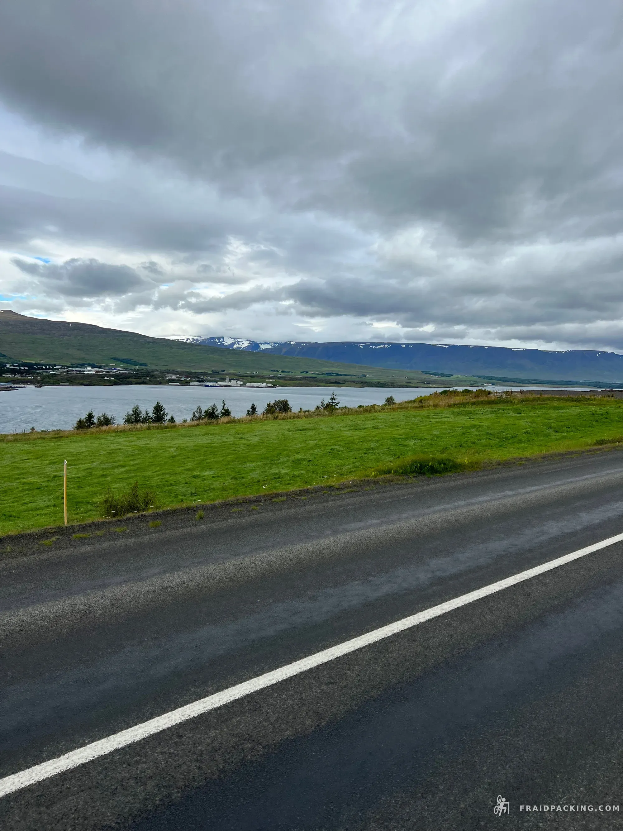
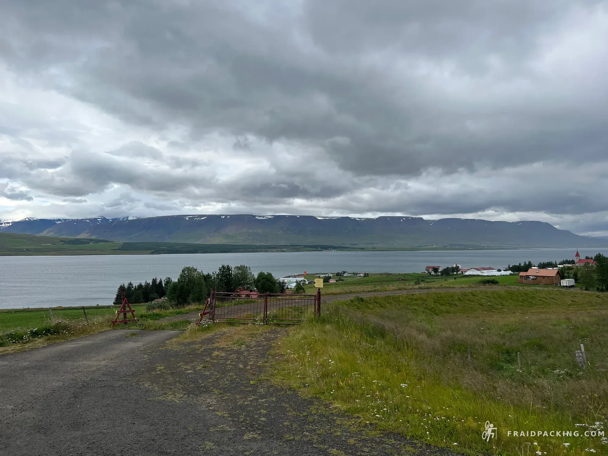
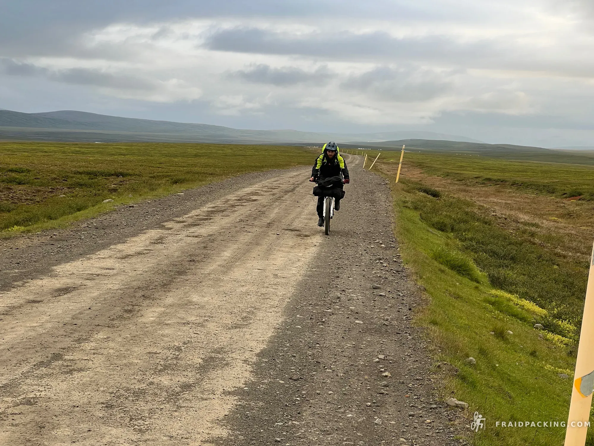
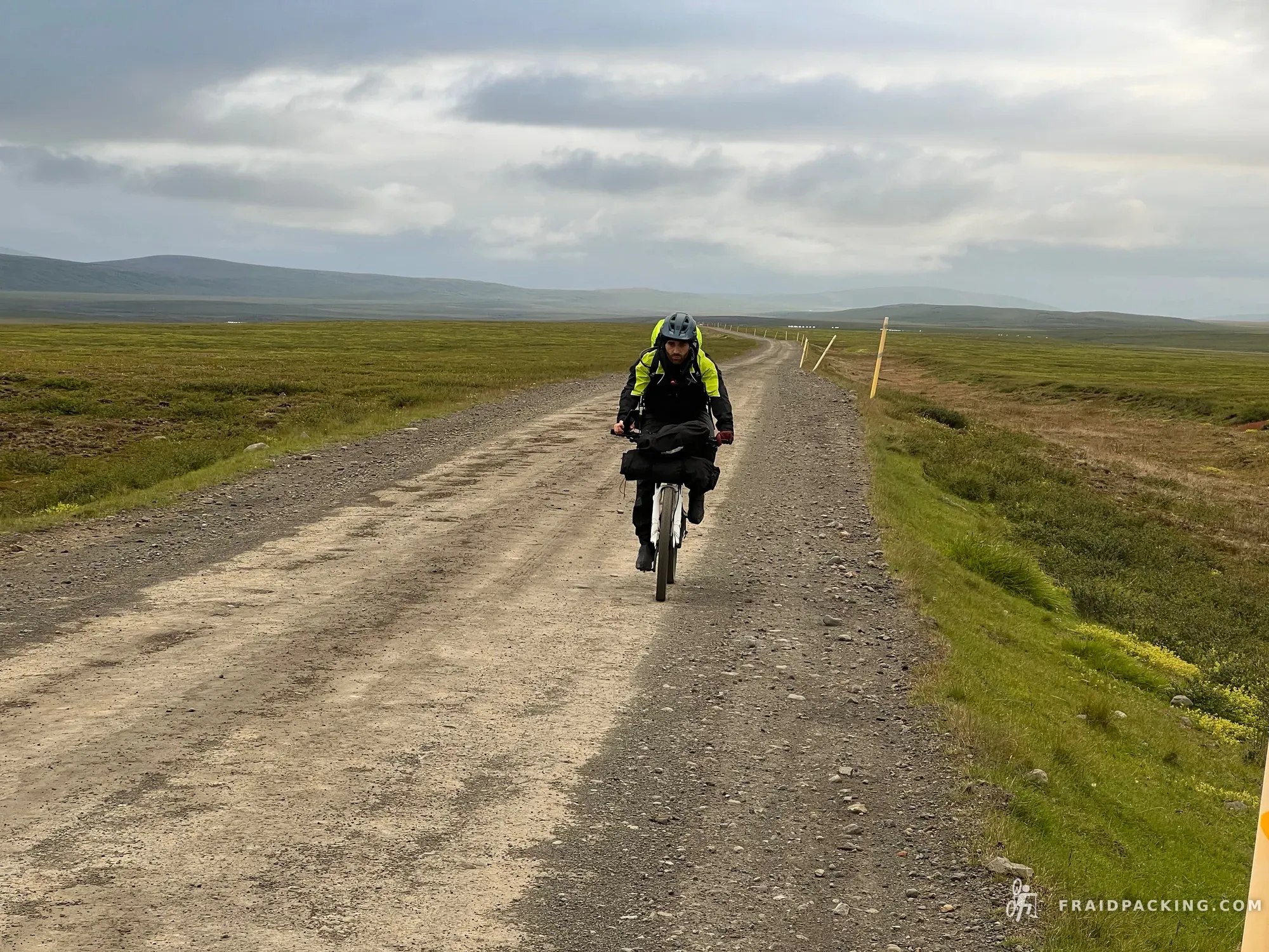
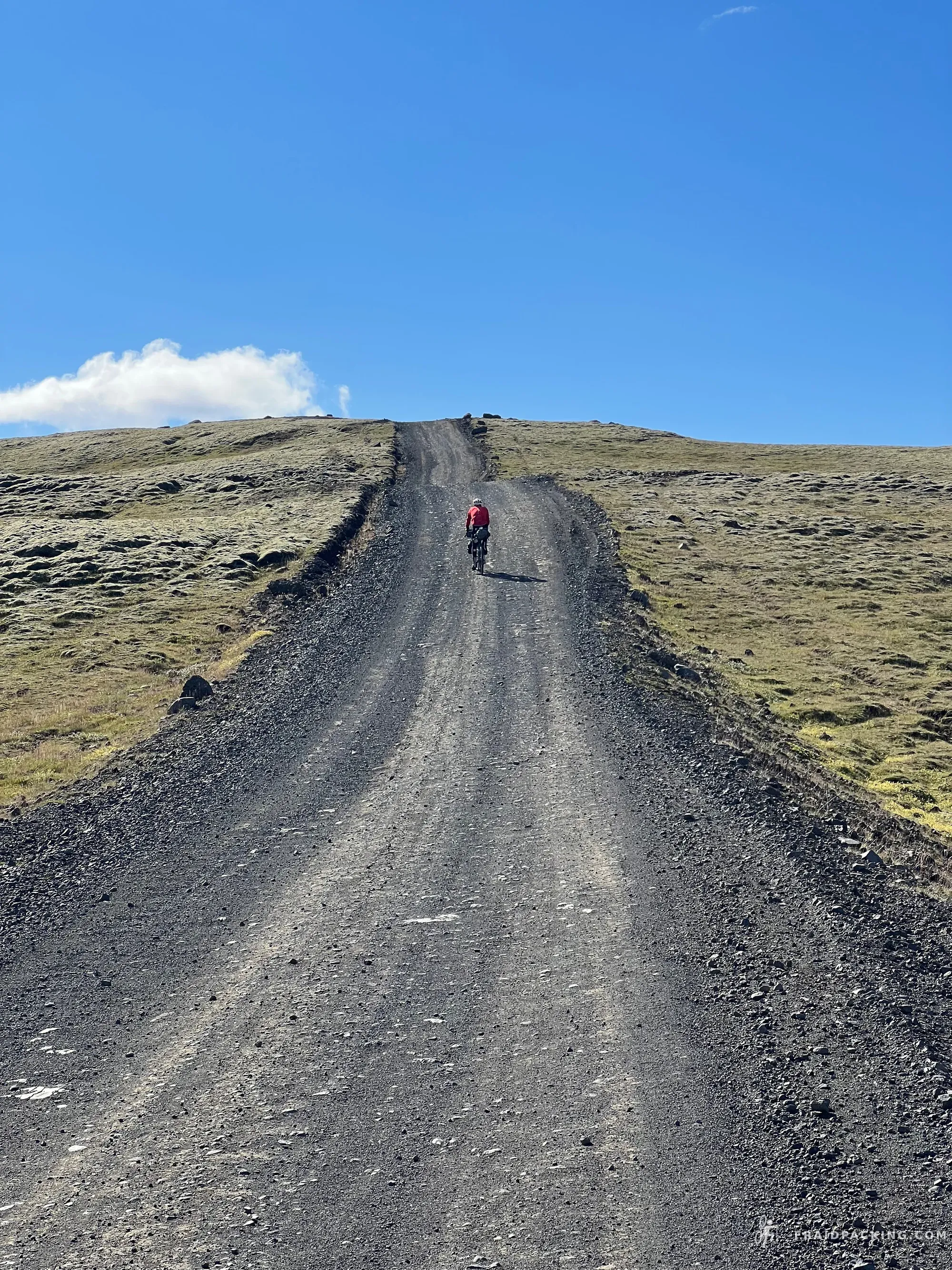
The Iceland Divide starts from Akureyri's waterfront with 130km and two thousand metres of climbing ahead. The early hours feel deceptively manageable — smooth tarmac, green valleys, the north coast still visible in the mirror. By afternoon the asphalt ends and the F-roads begin, and so does everything else. Arrived at Botni as the midnight sun hung low over the lava fields, legs empty, head quiet.
- 2
Botni hut - Dyngjufell hut
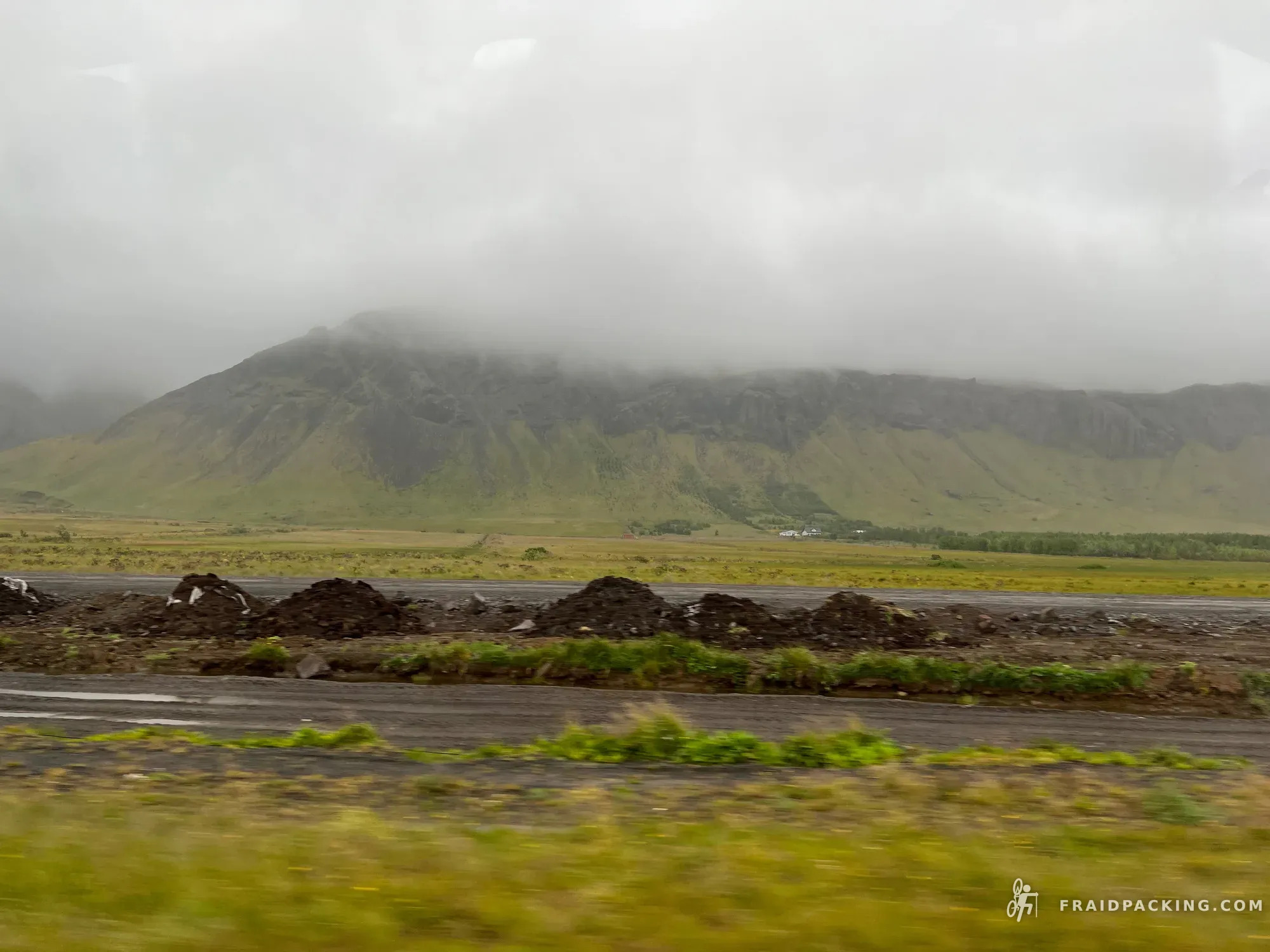
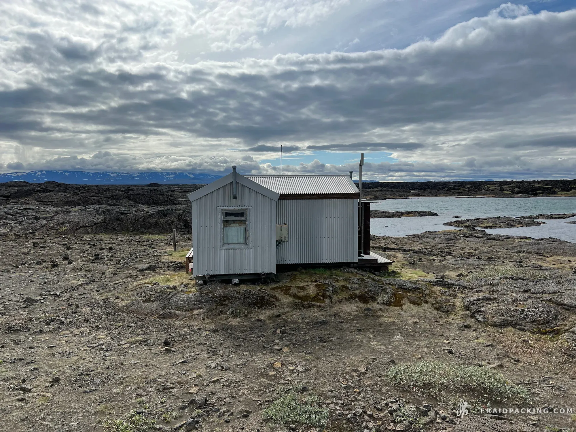
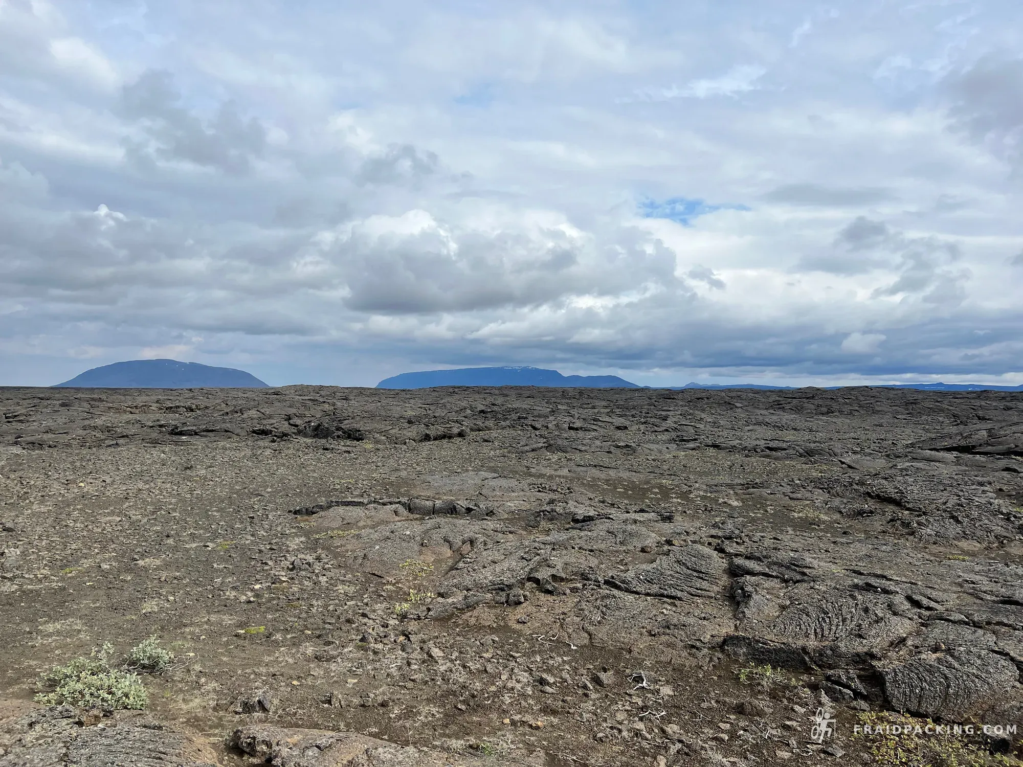
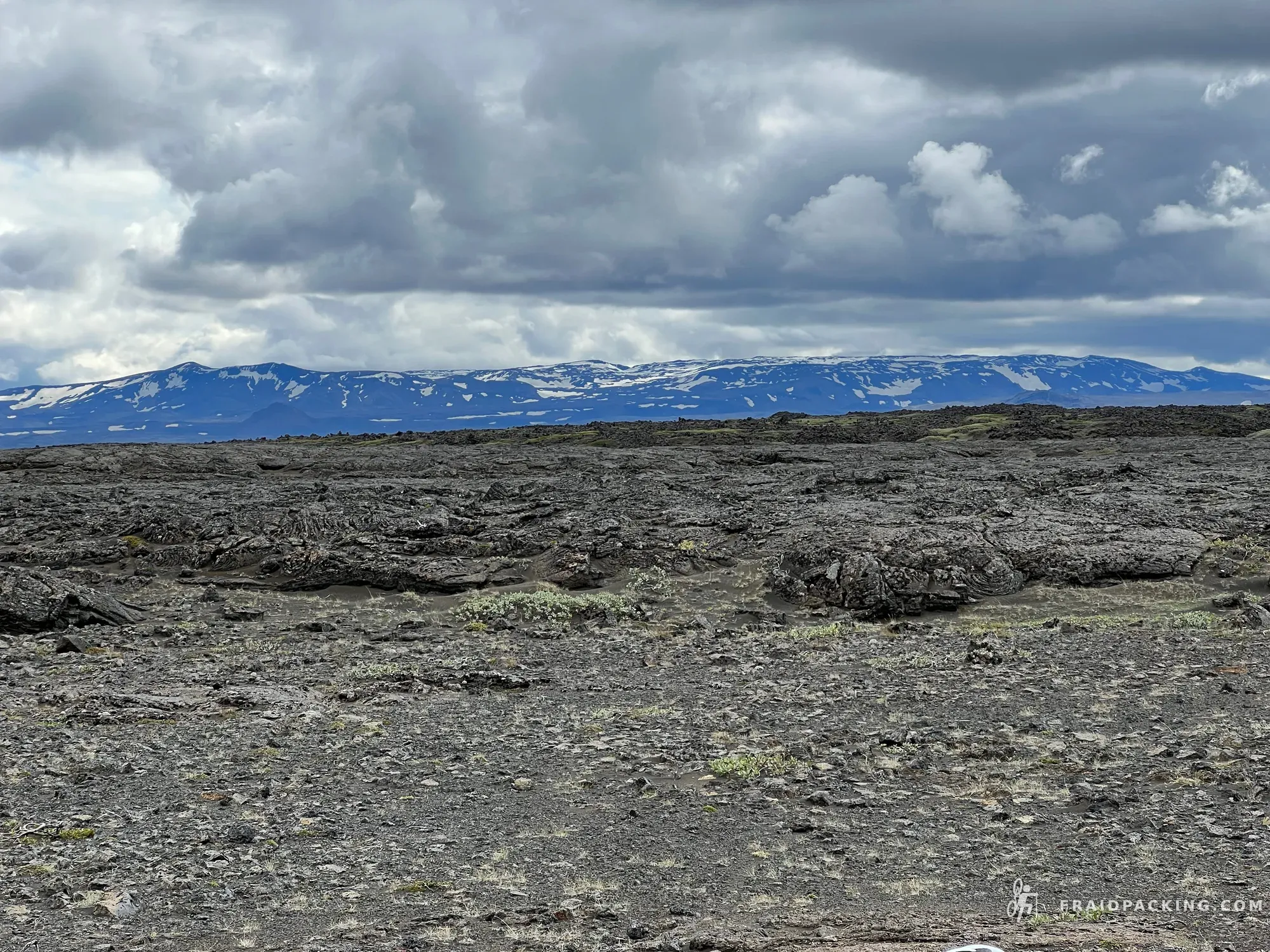
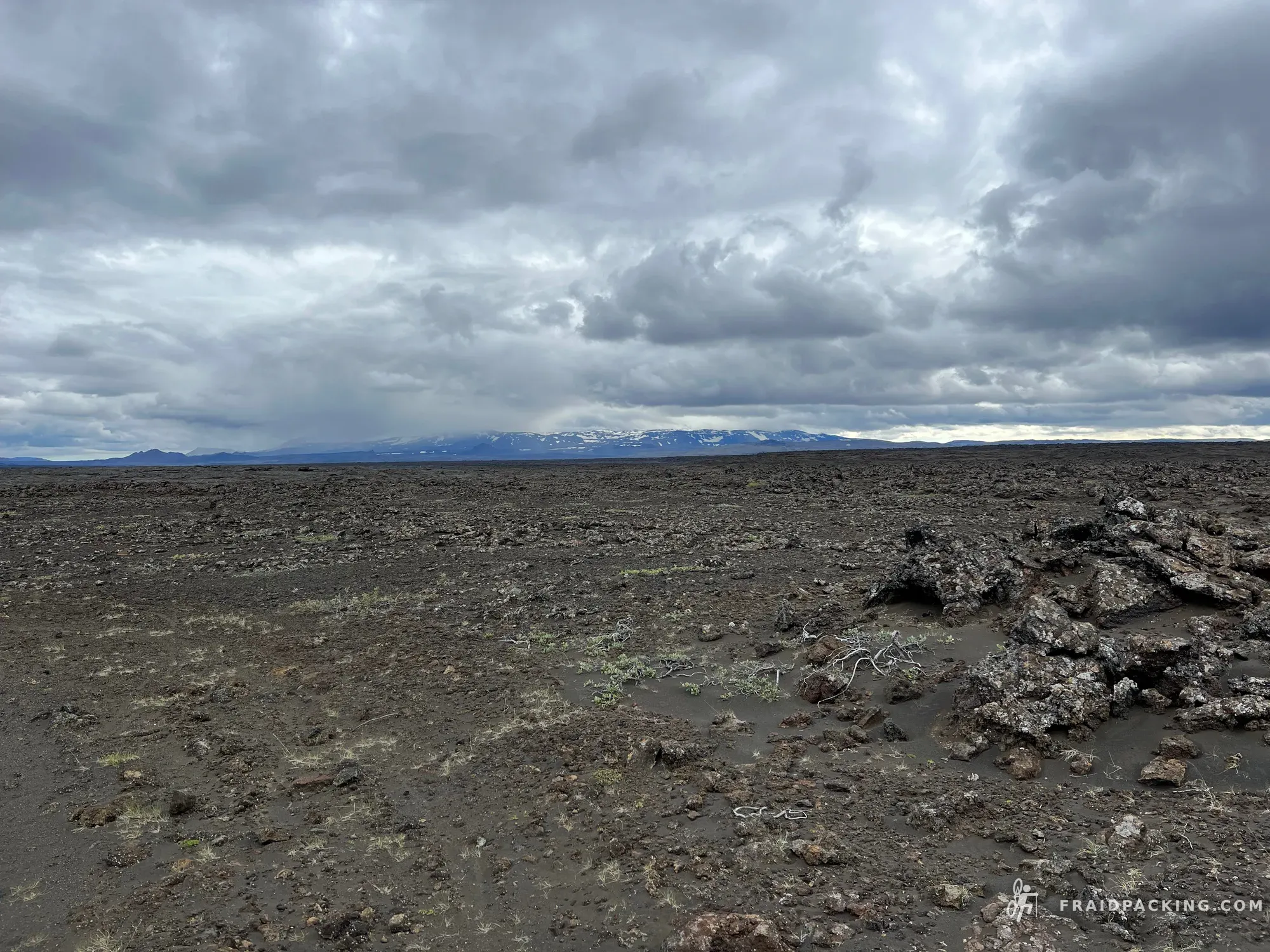
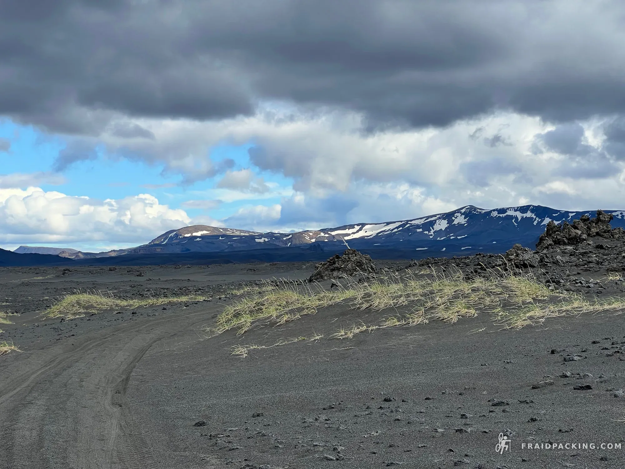
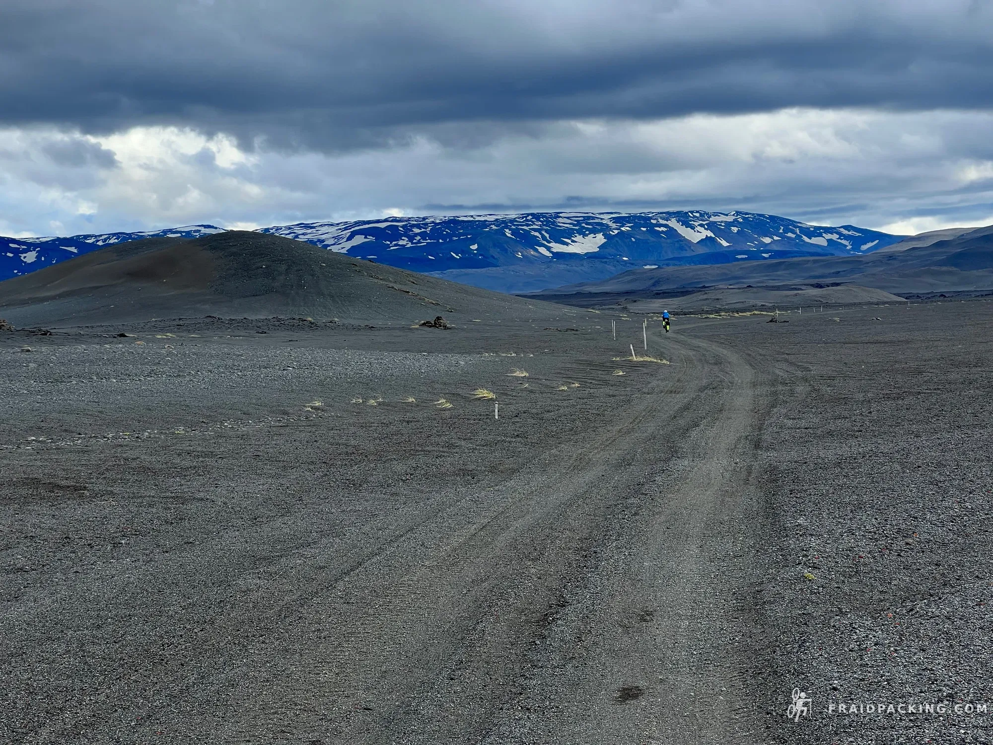
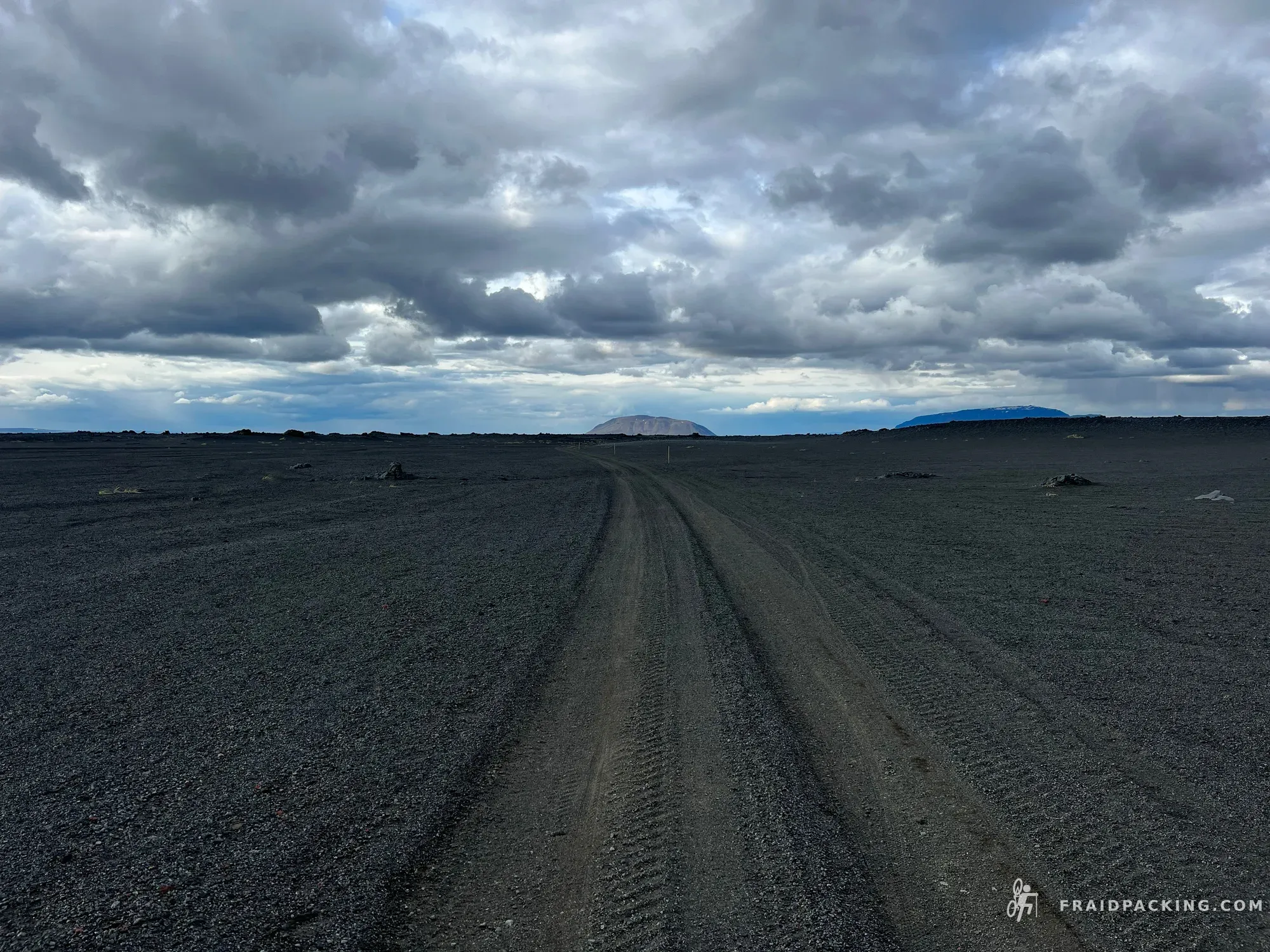
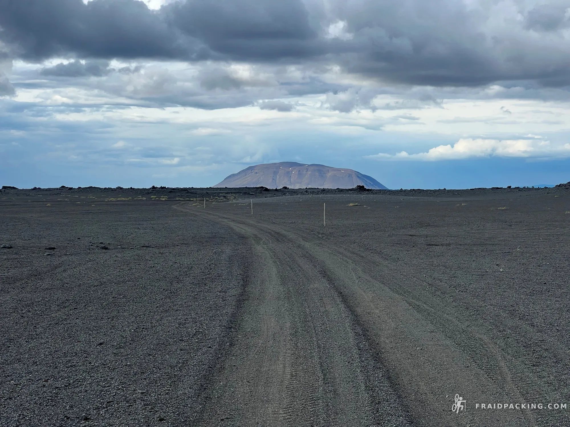
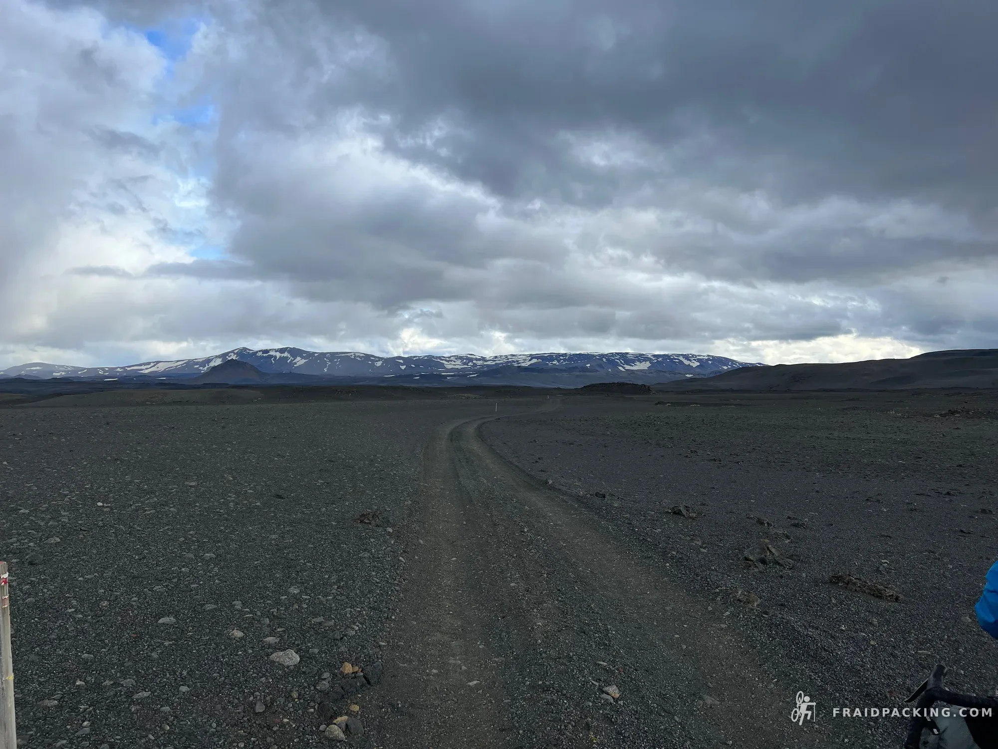
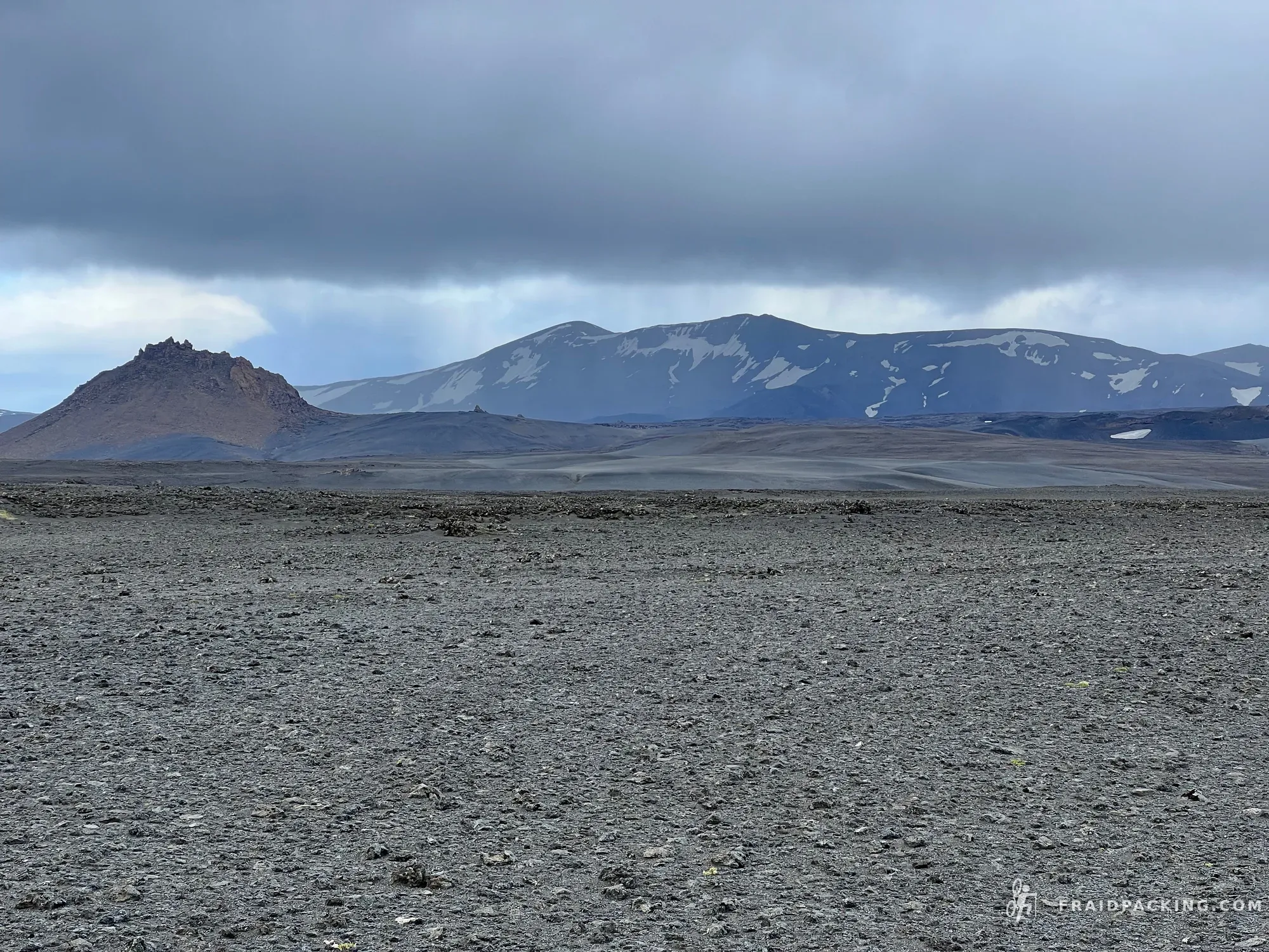
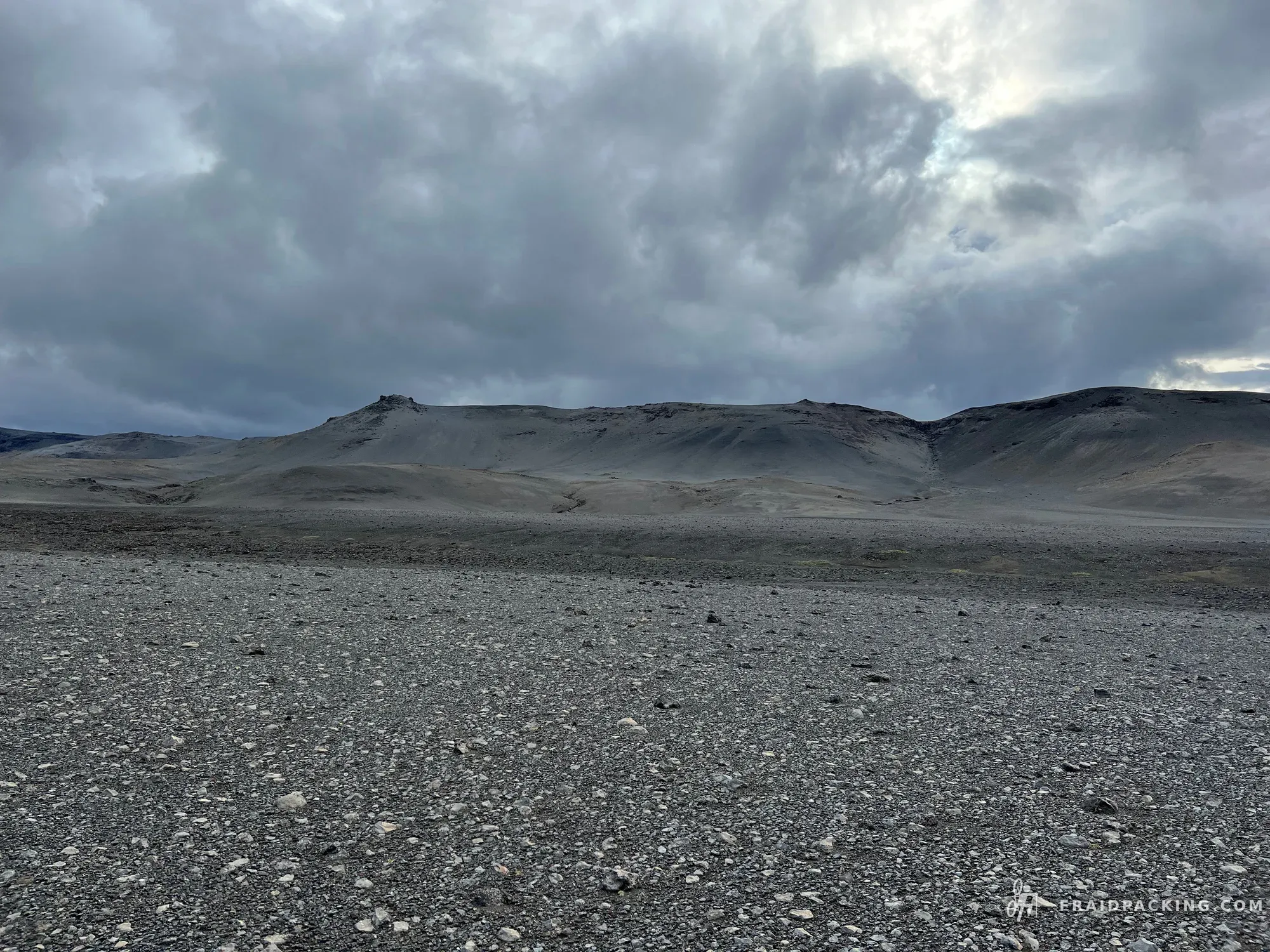
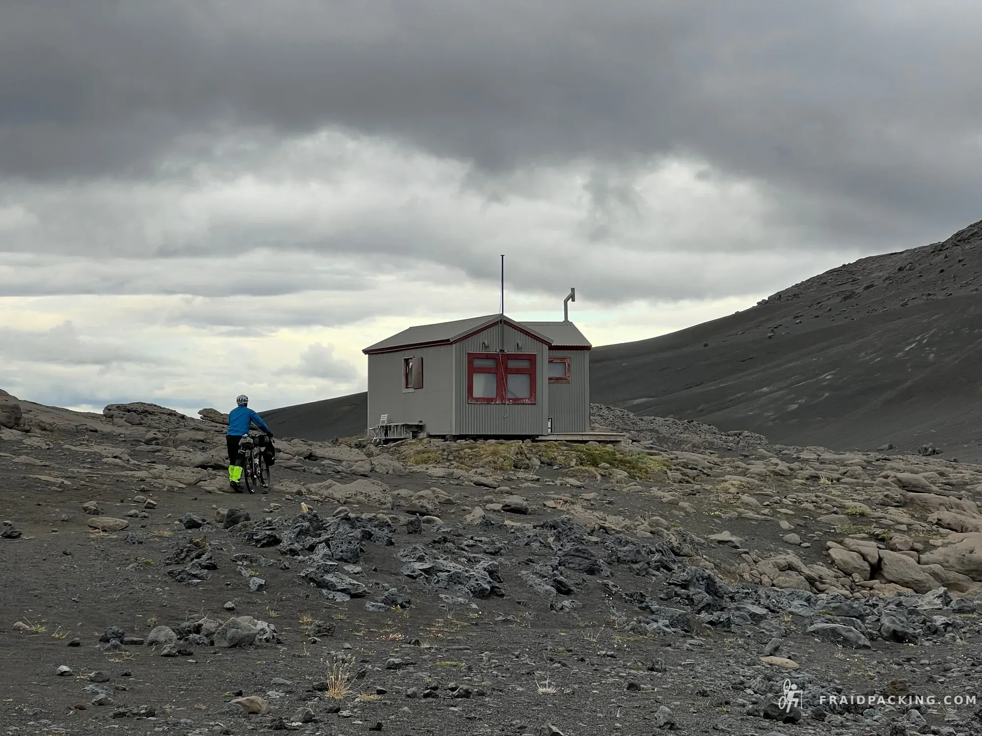
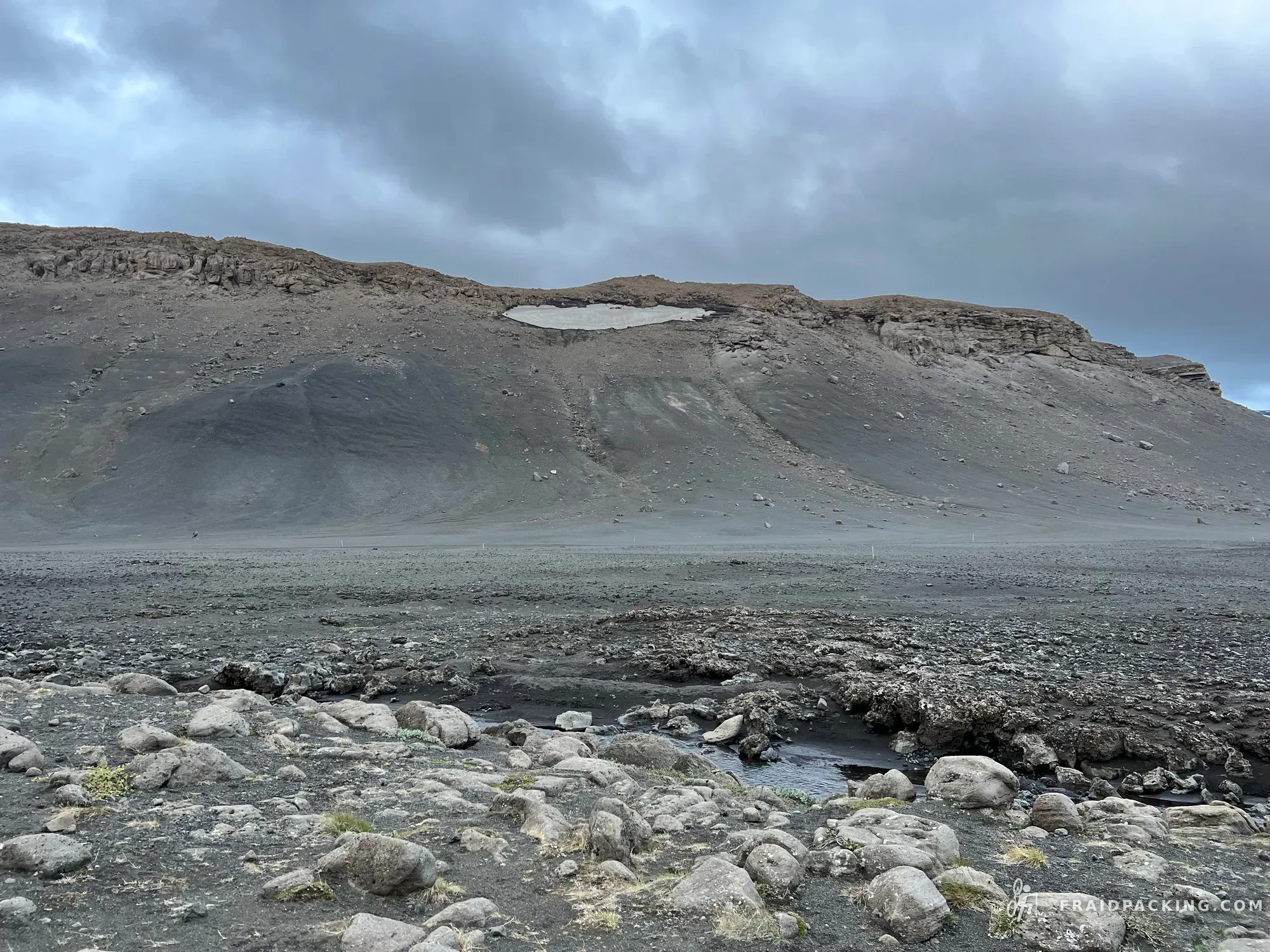
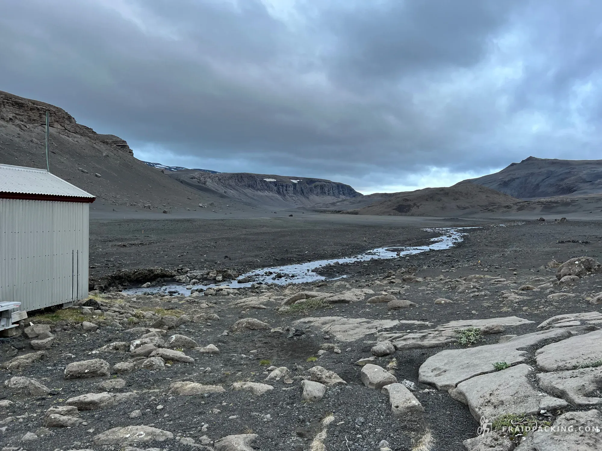
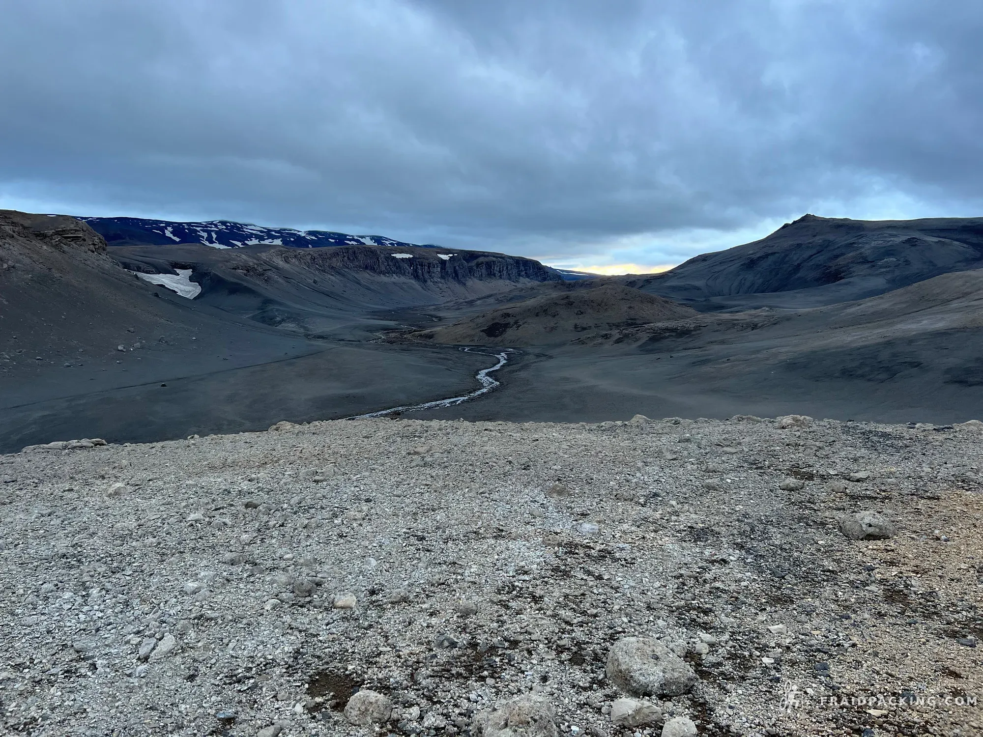
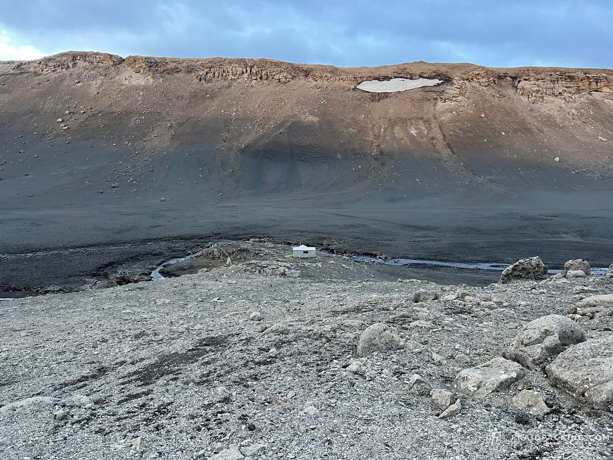
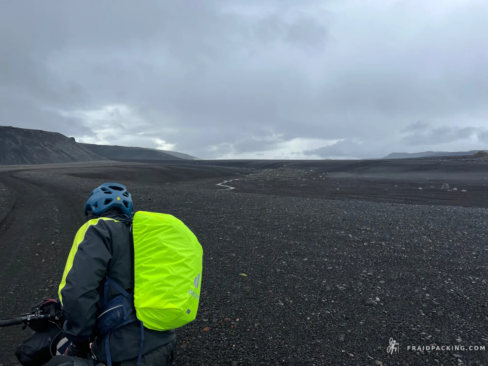
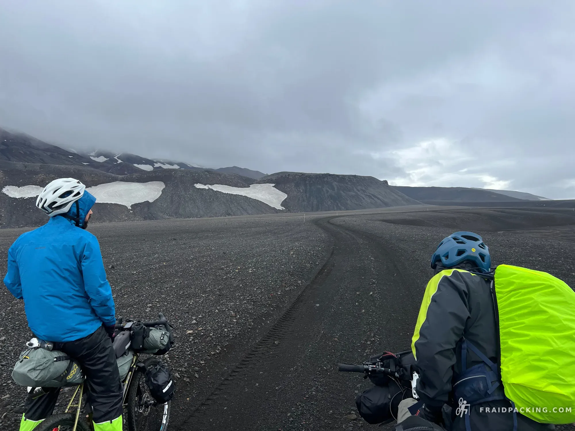
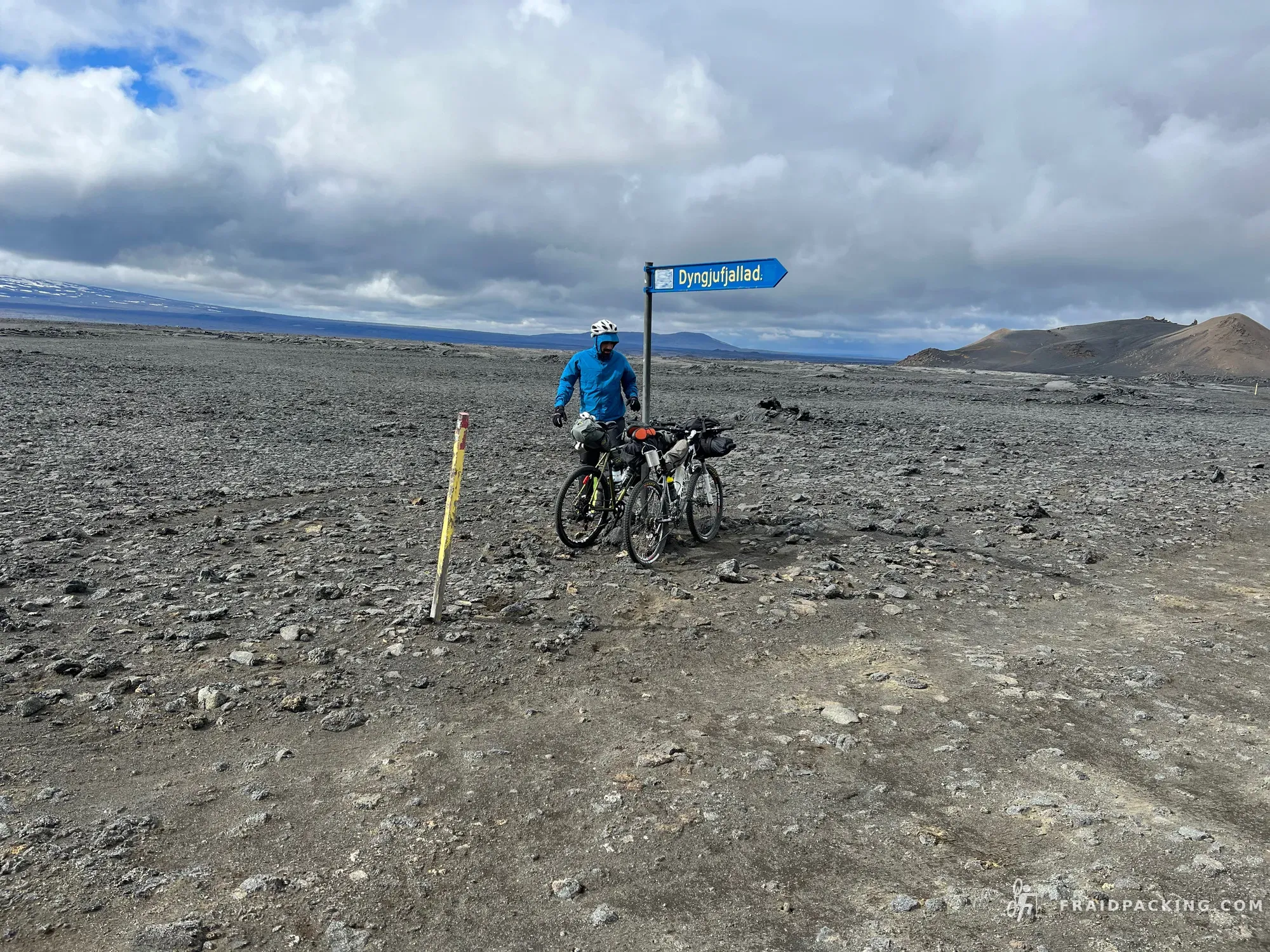
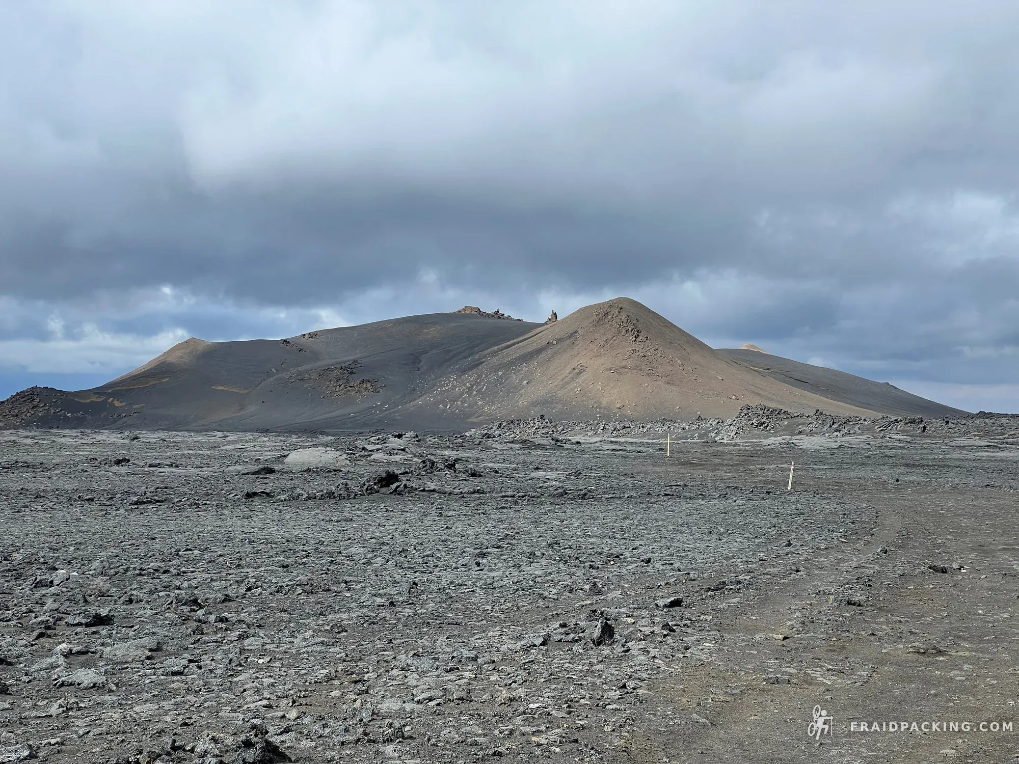
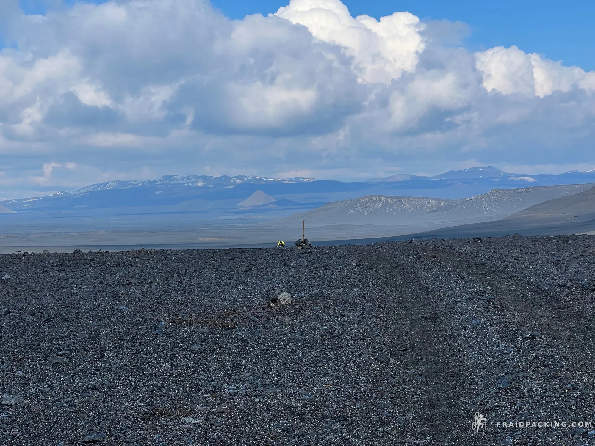
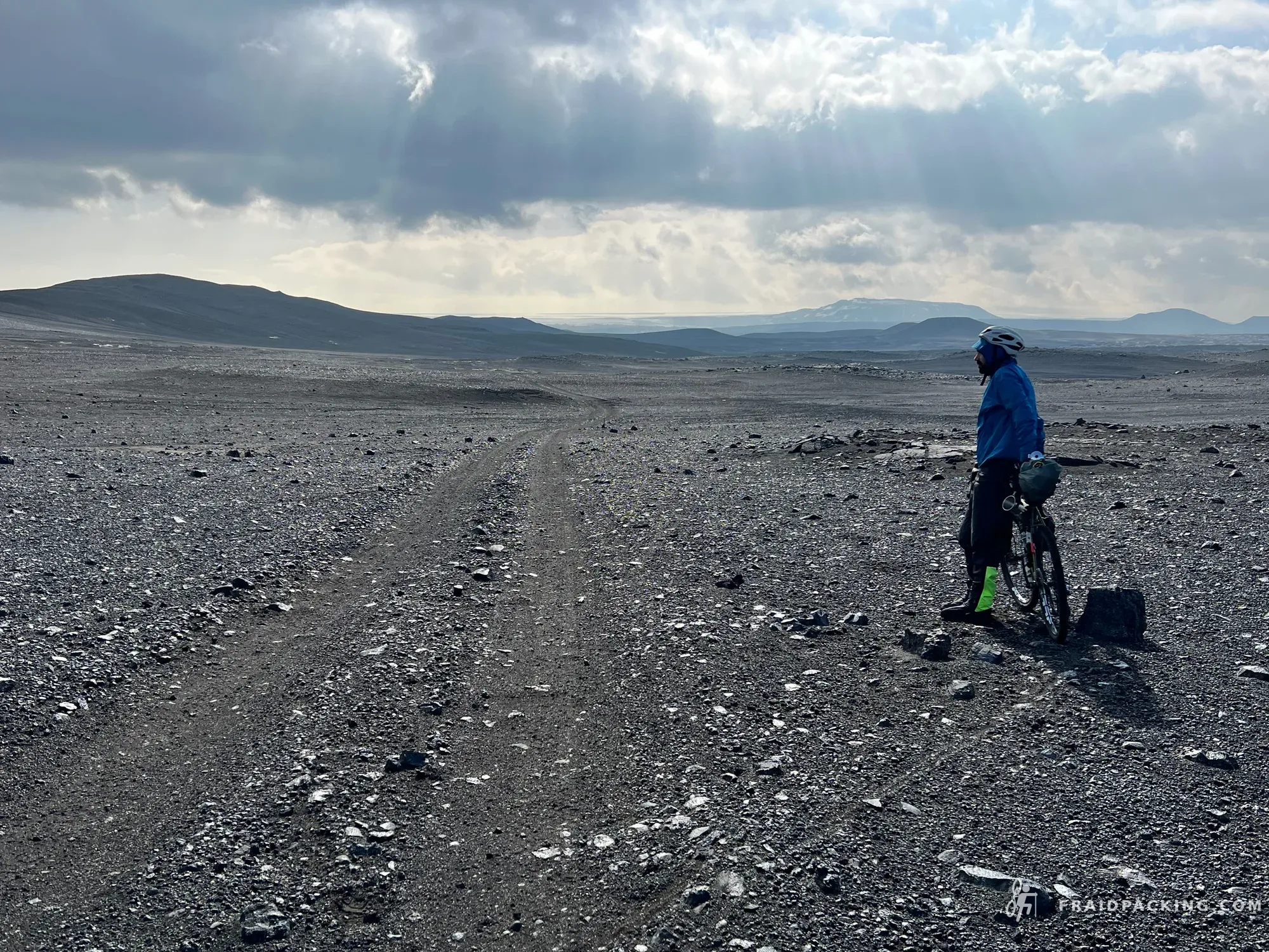
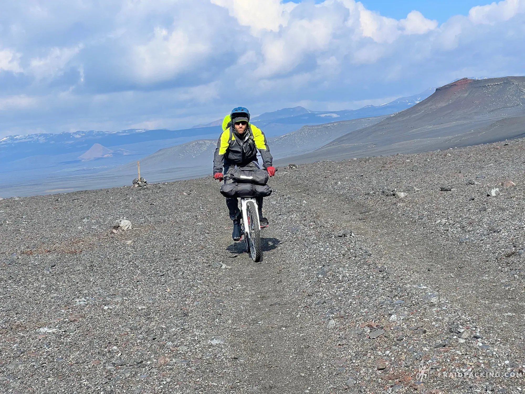
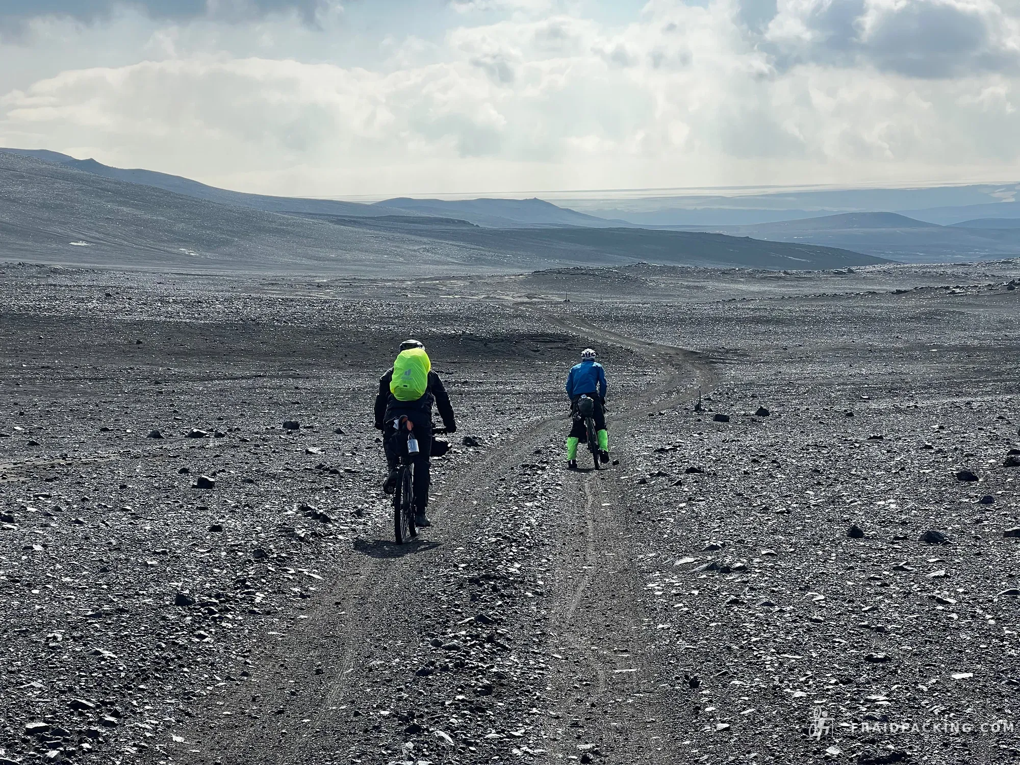
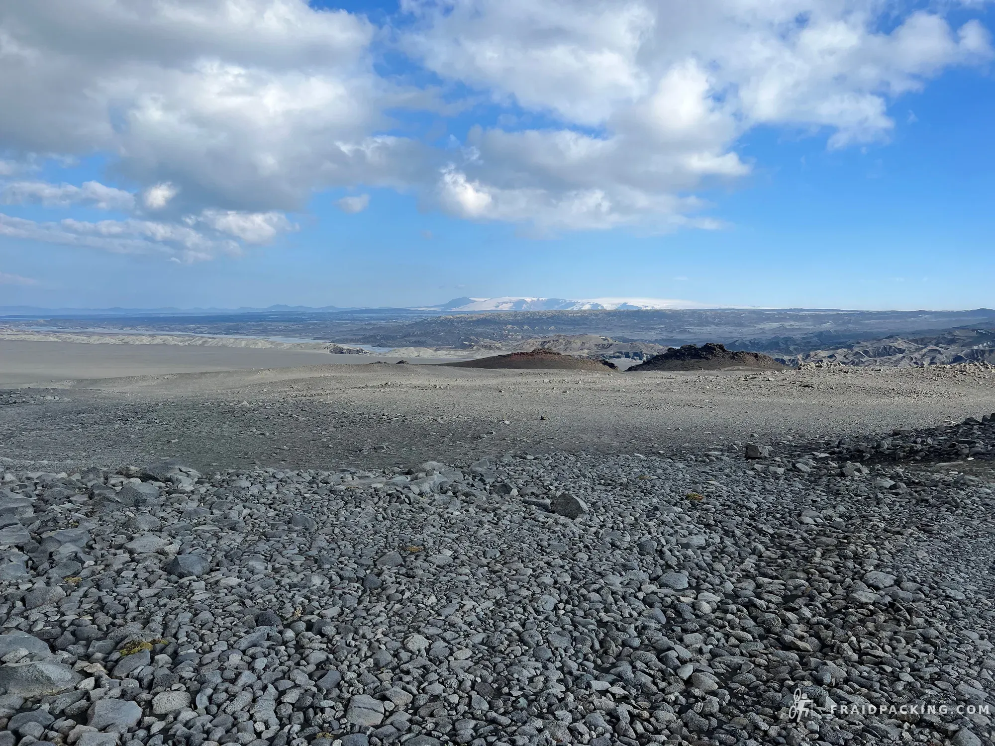
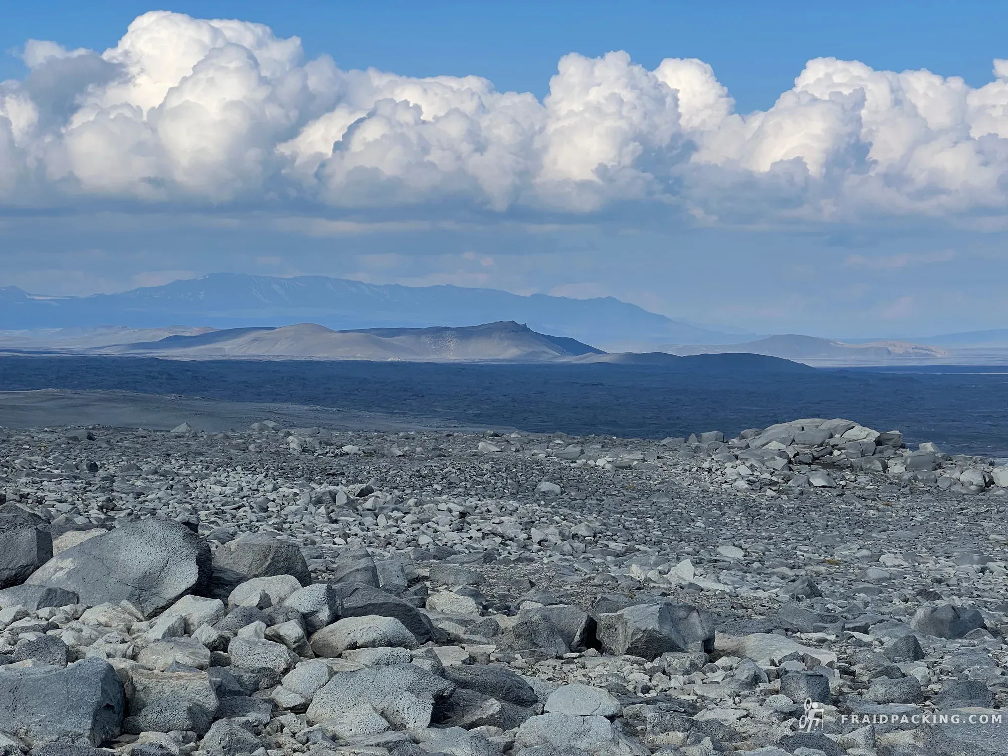
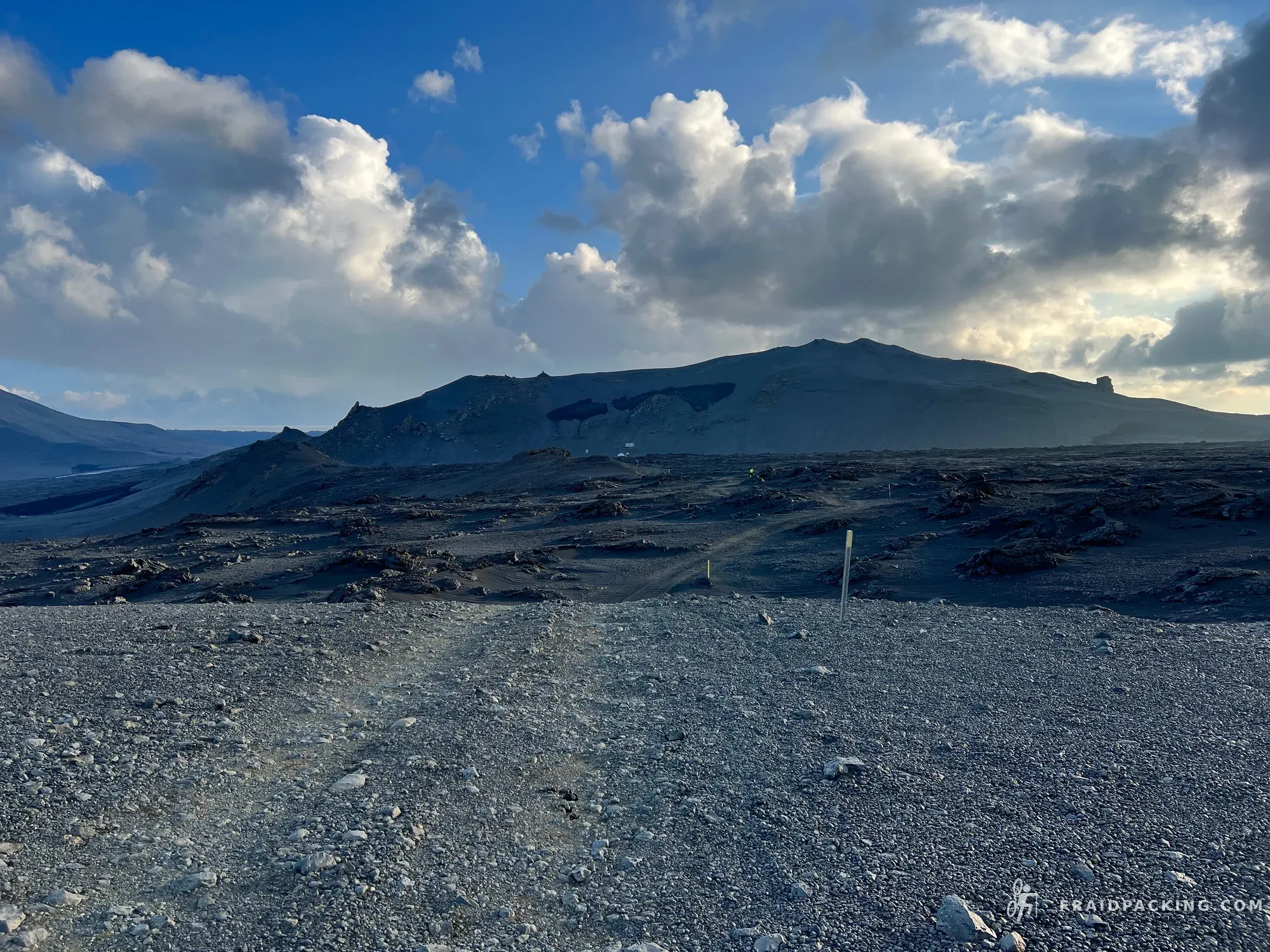
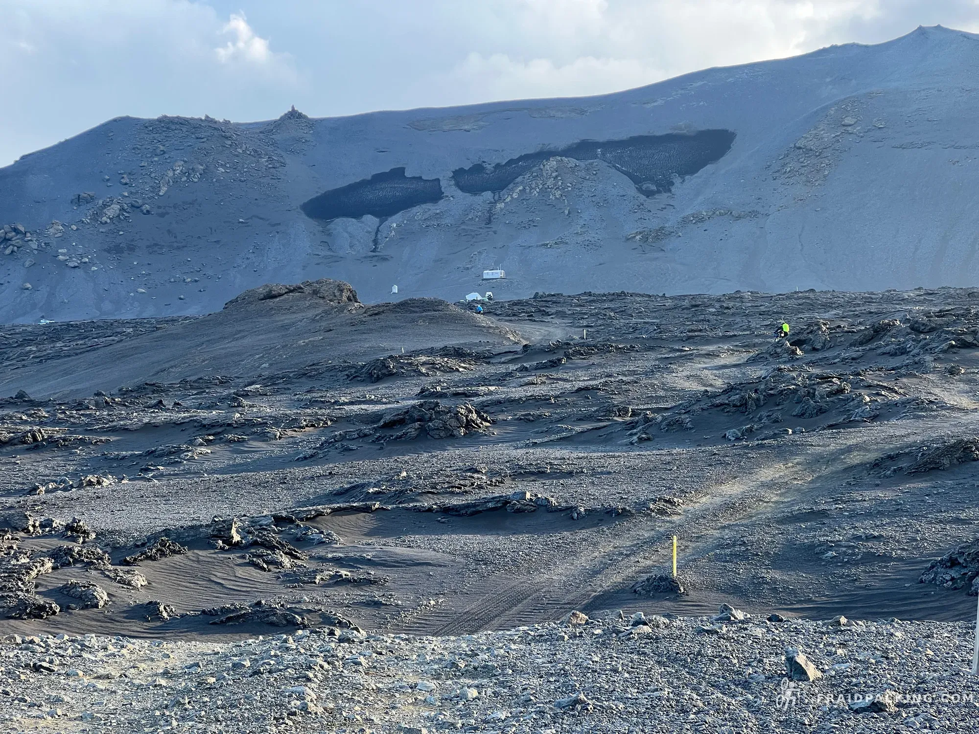
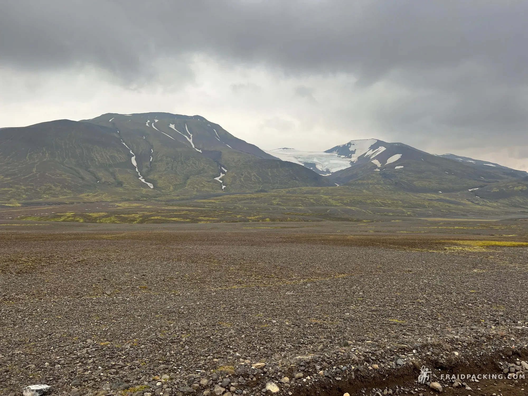
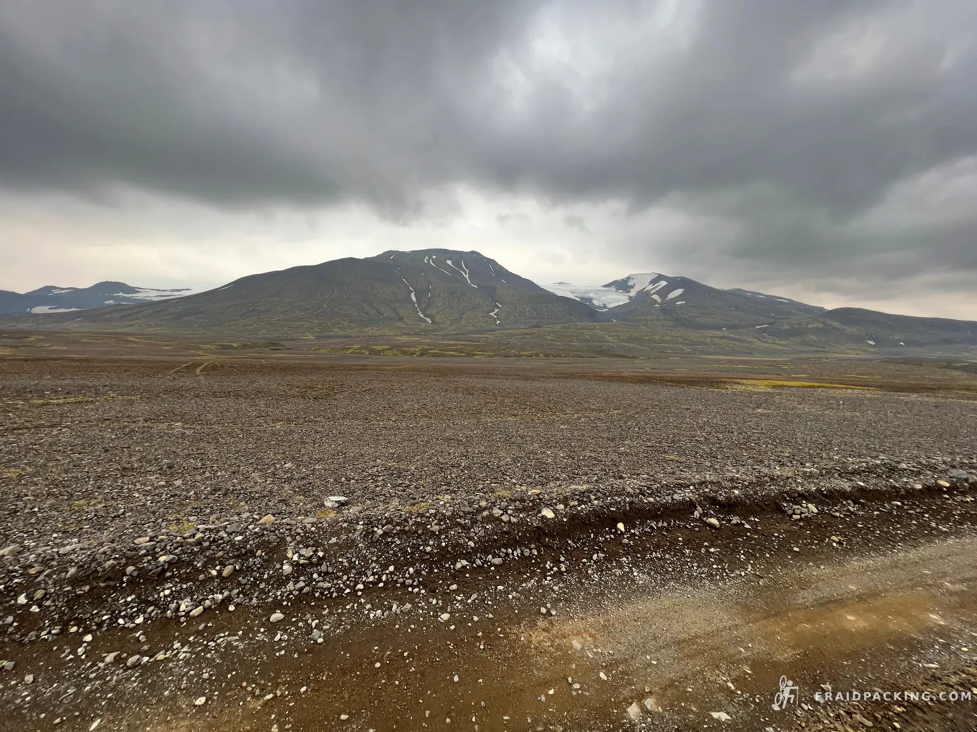
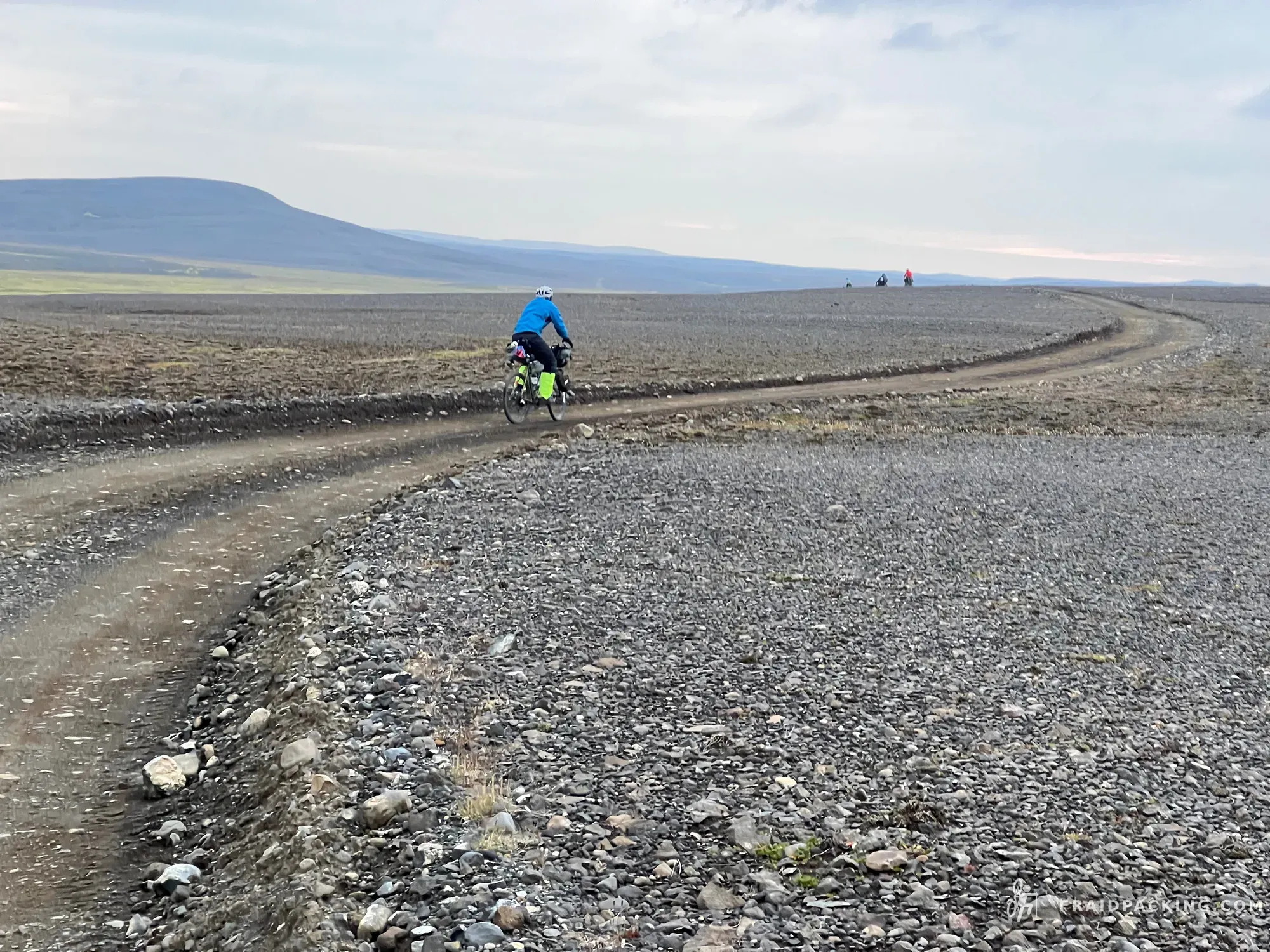
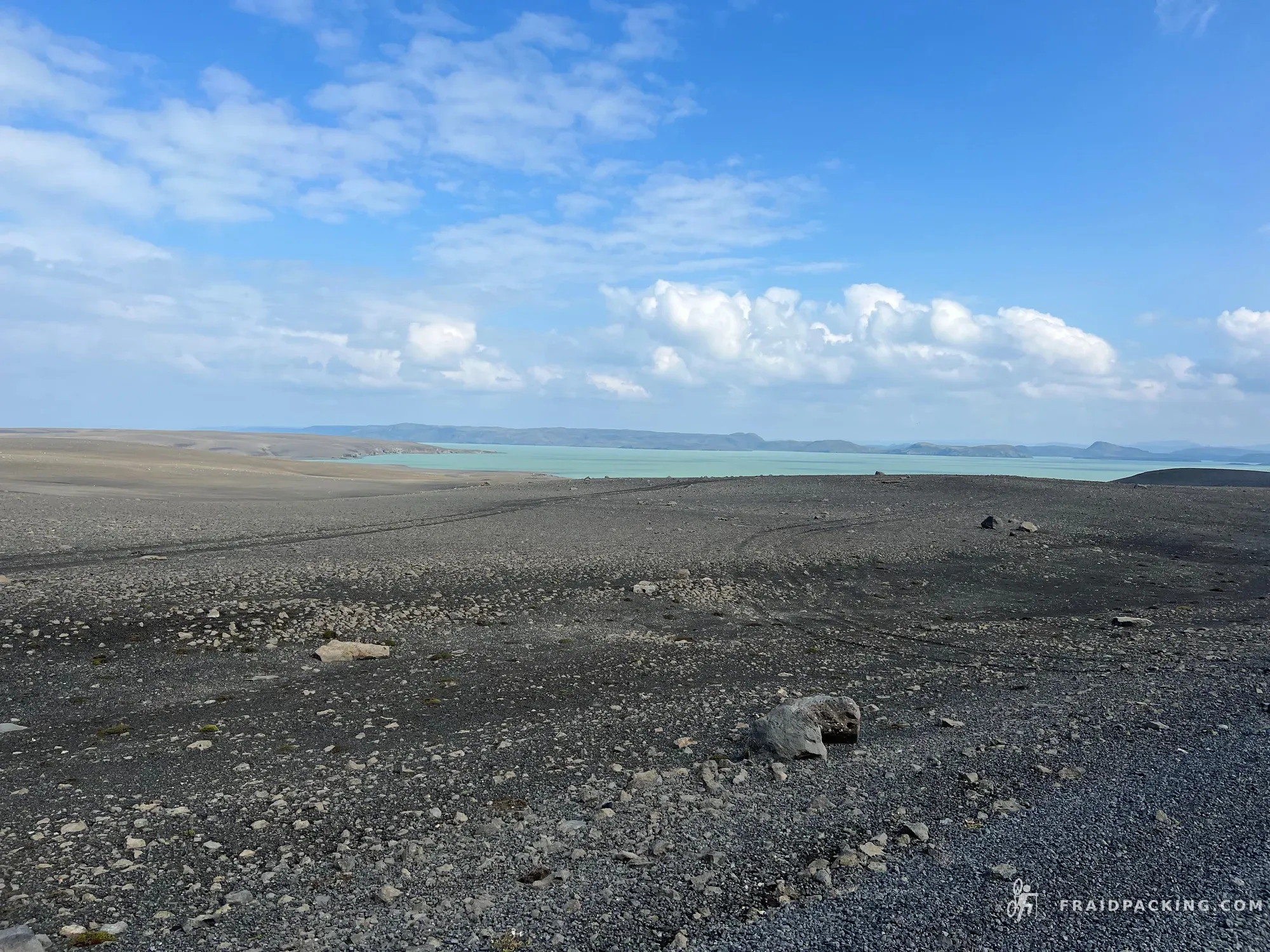
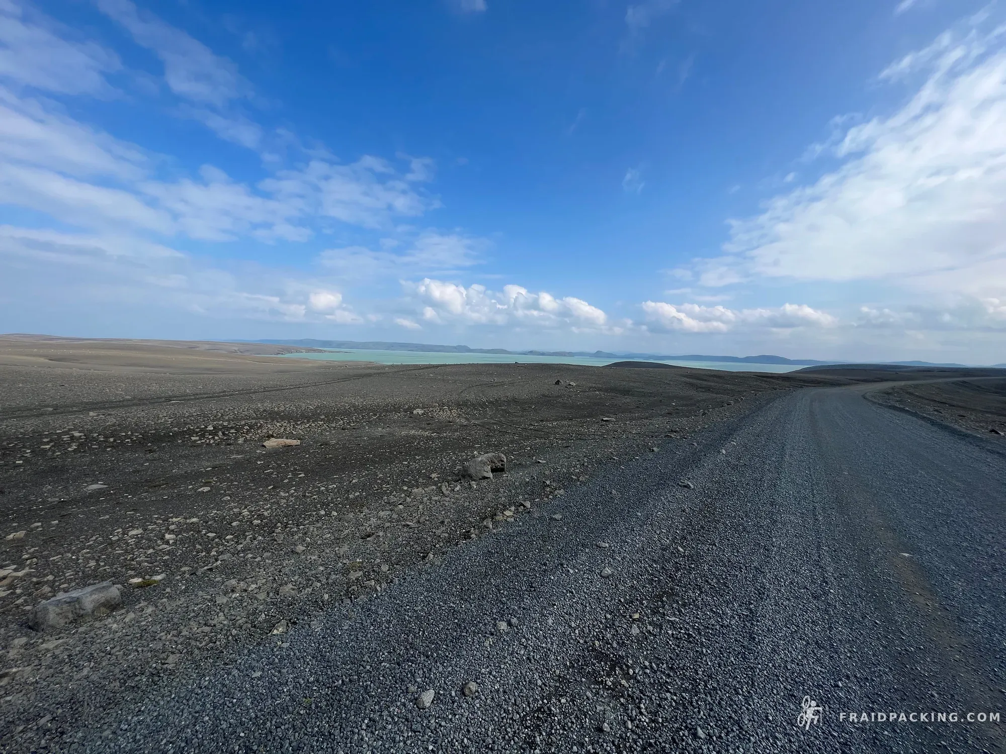
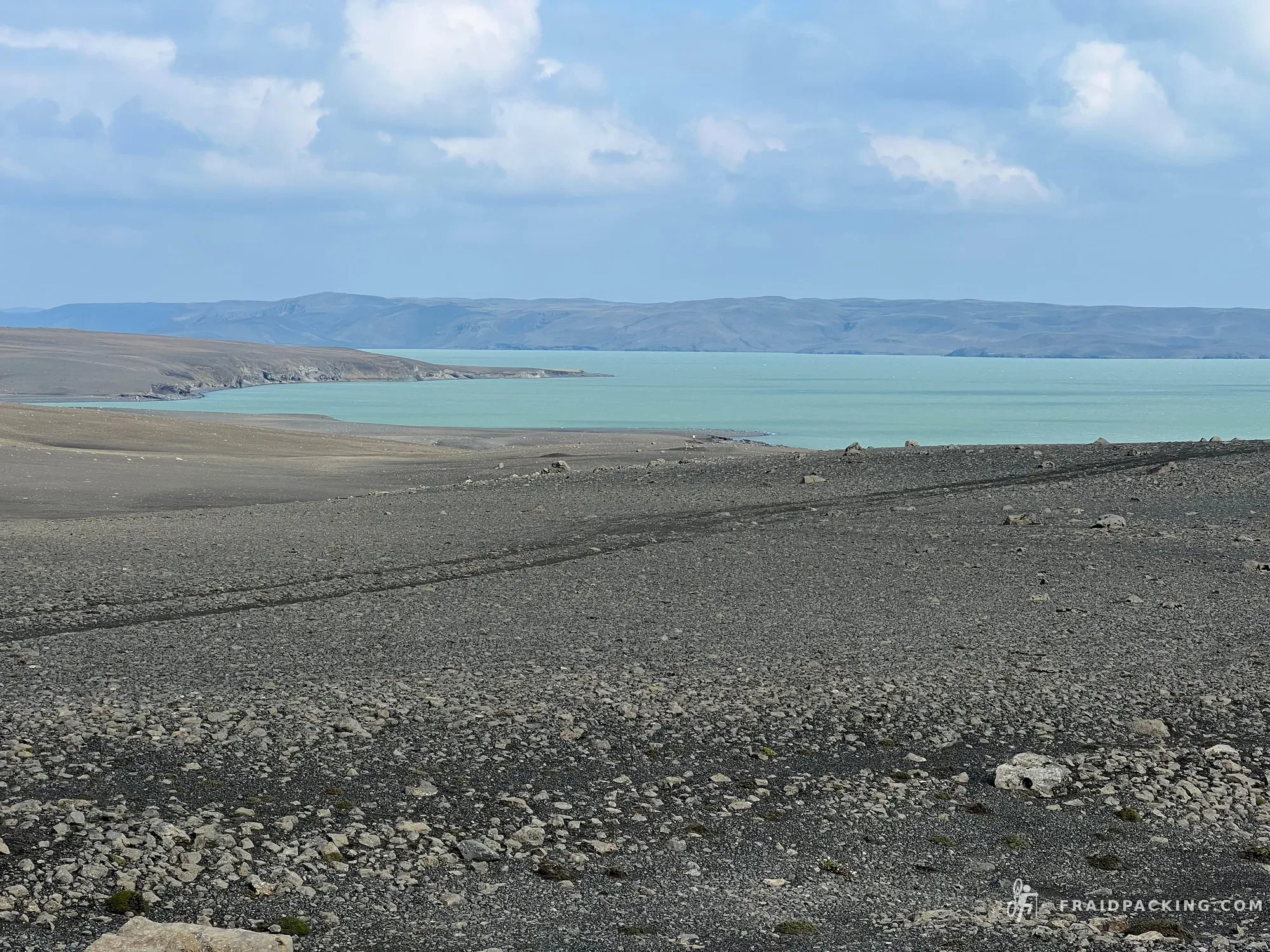
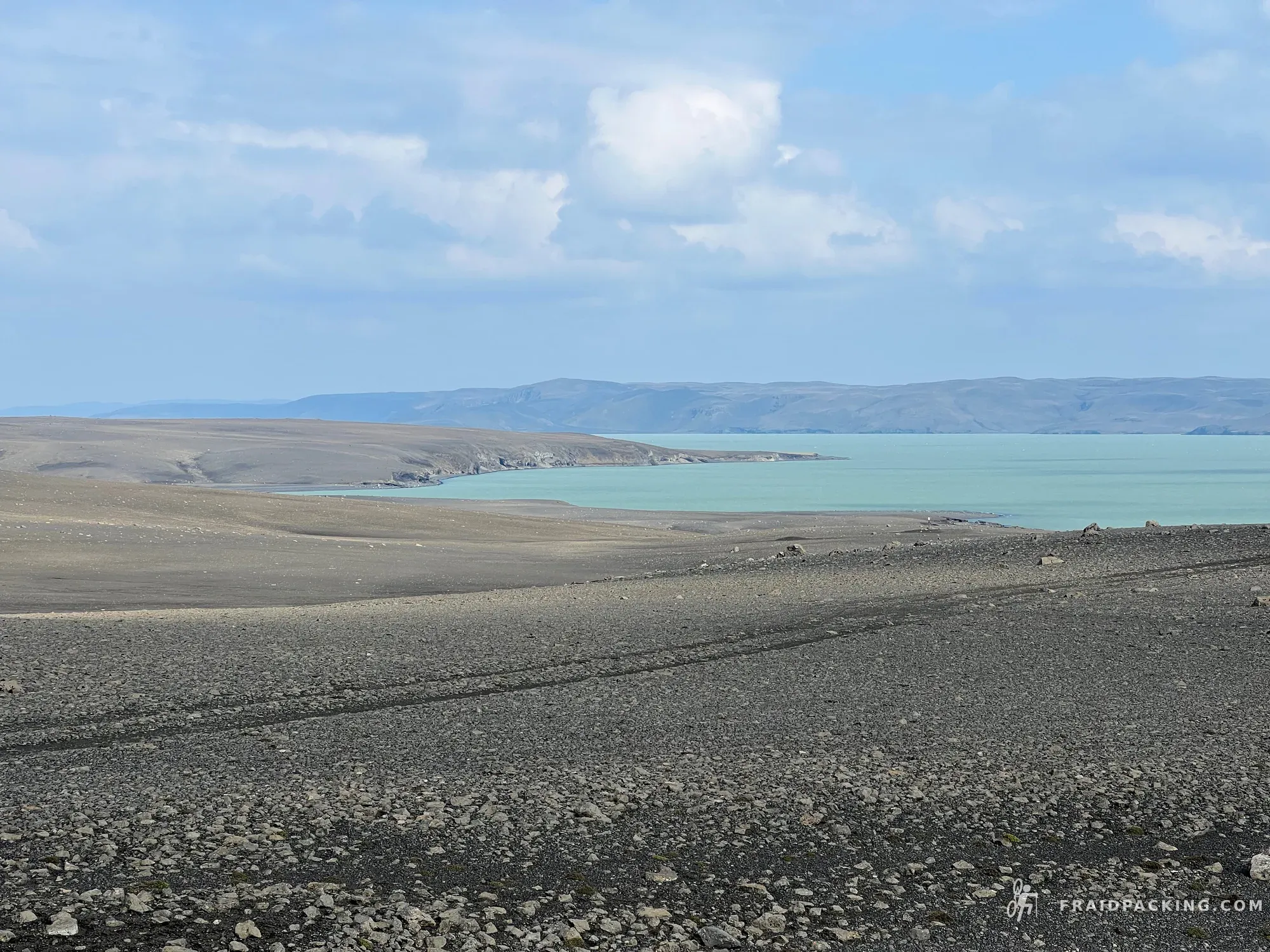
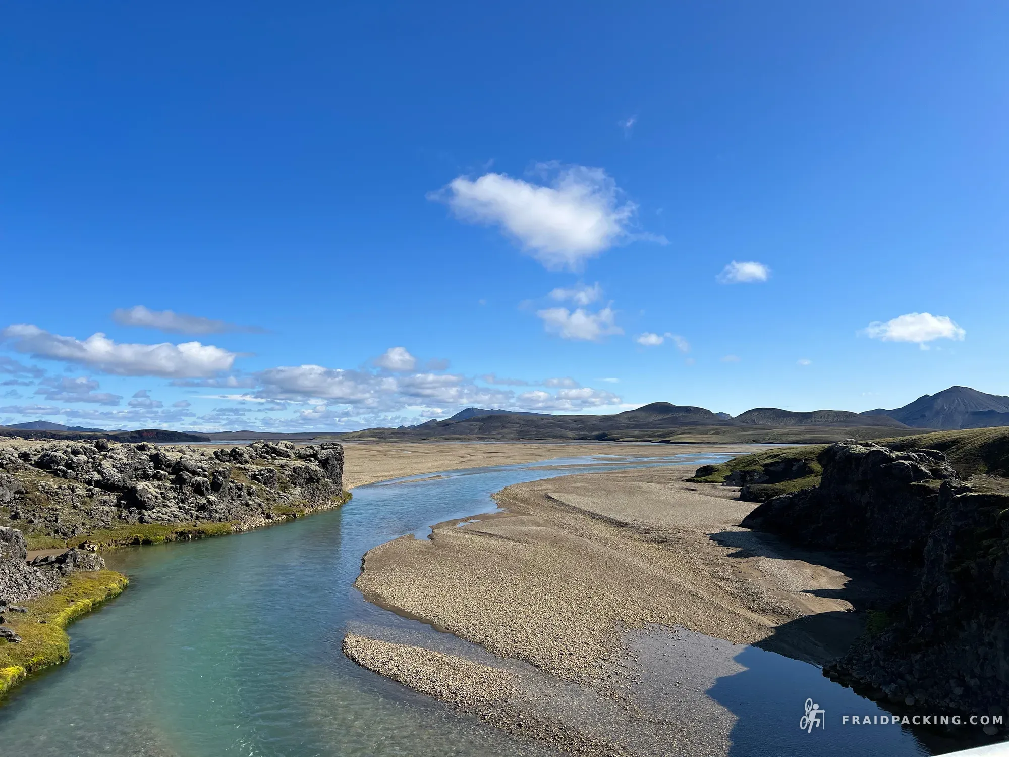
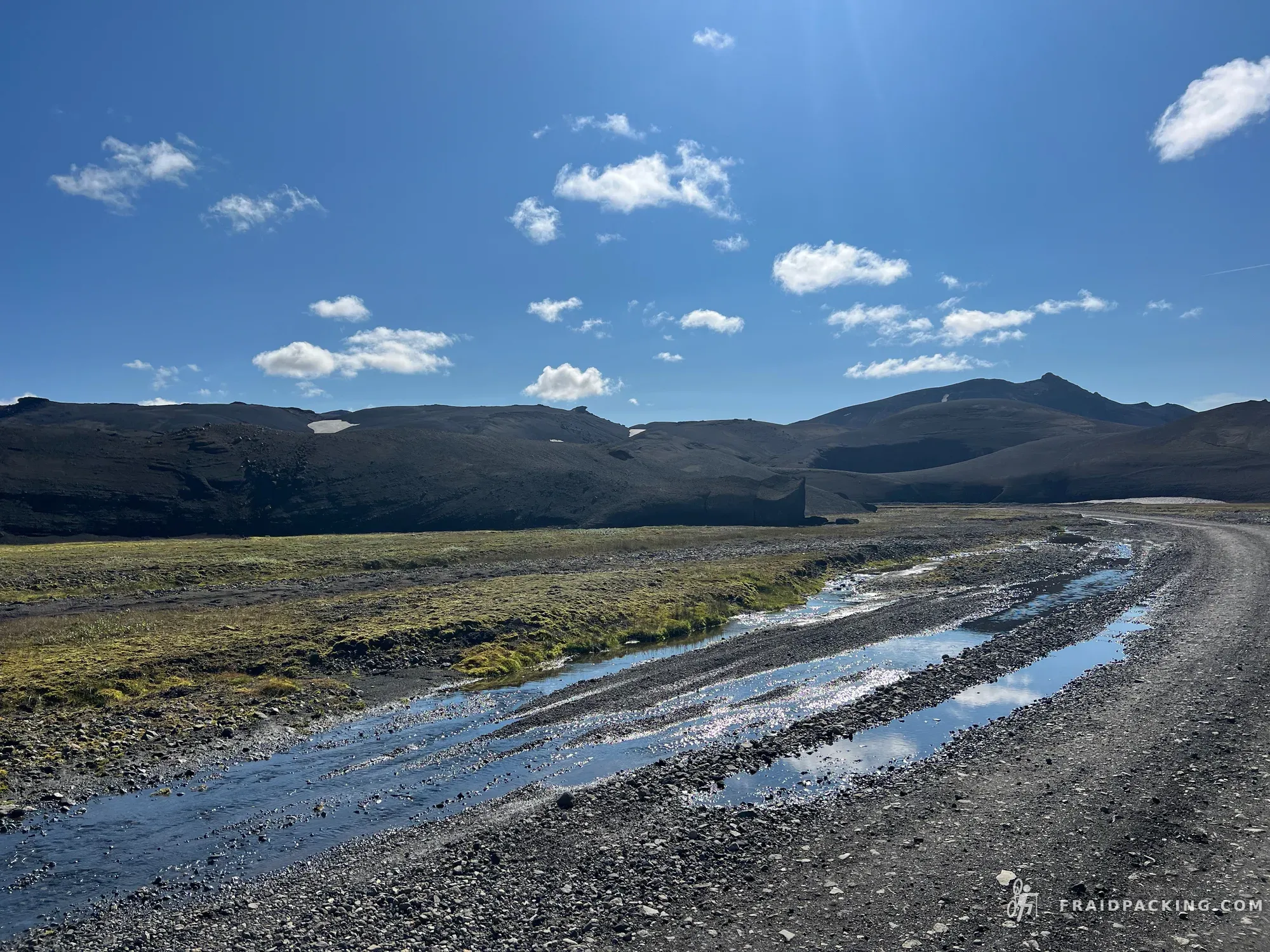
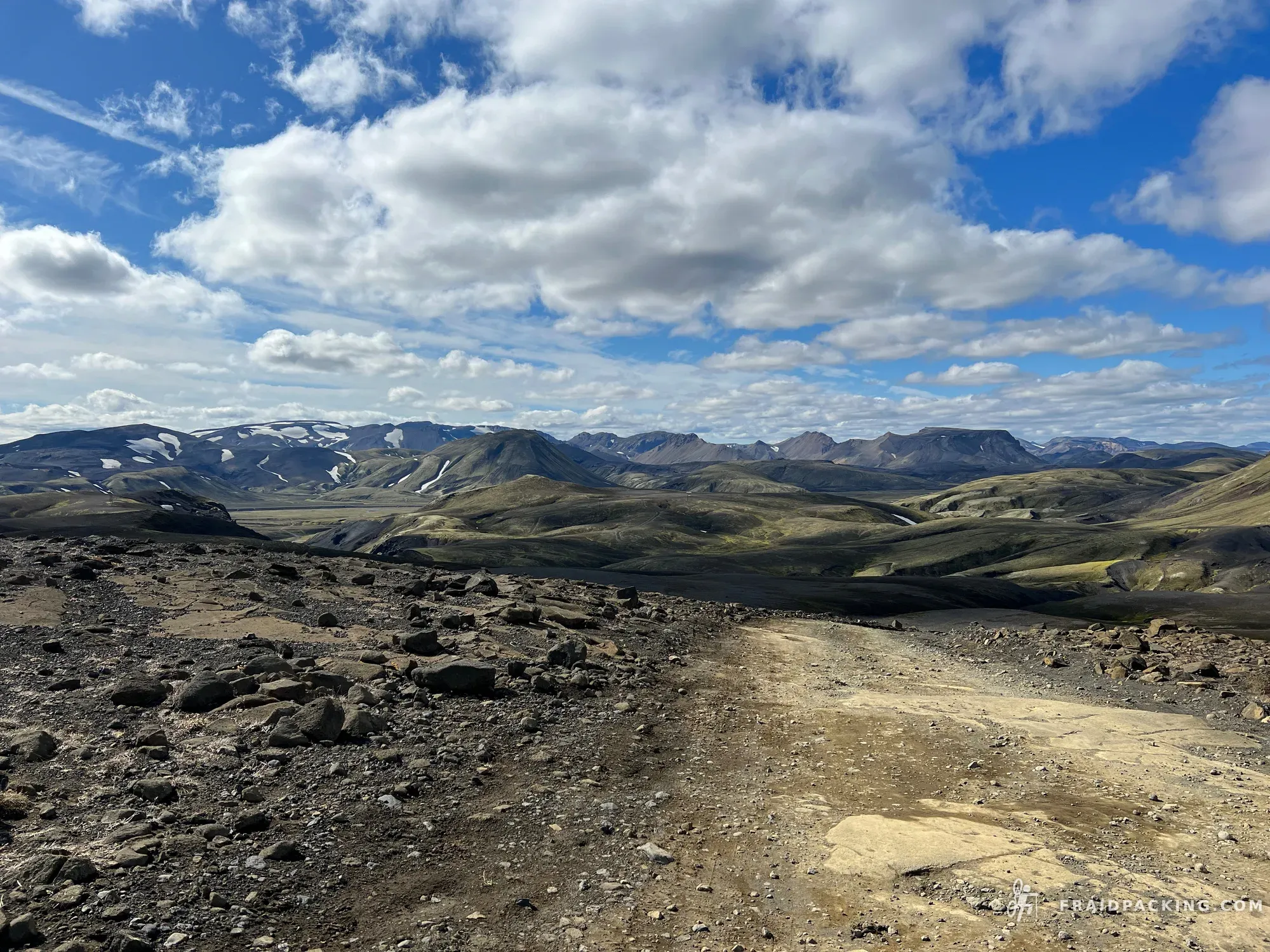
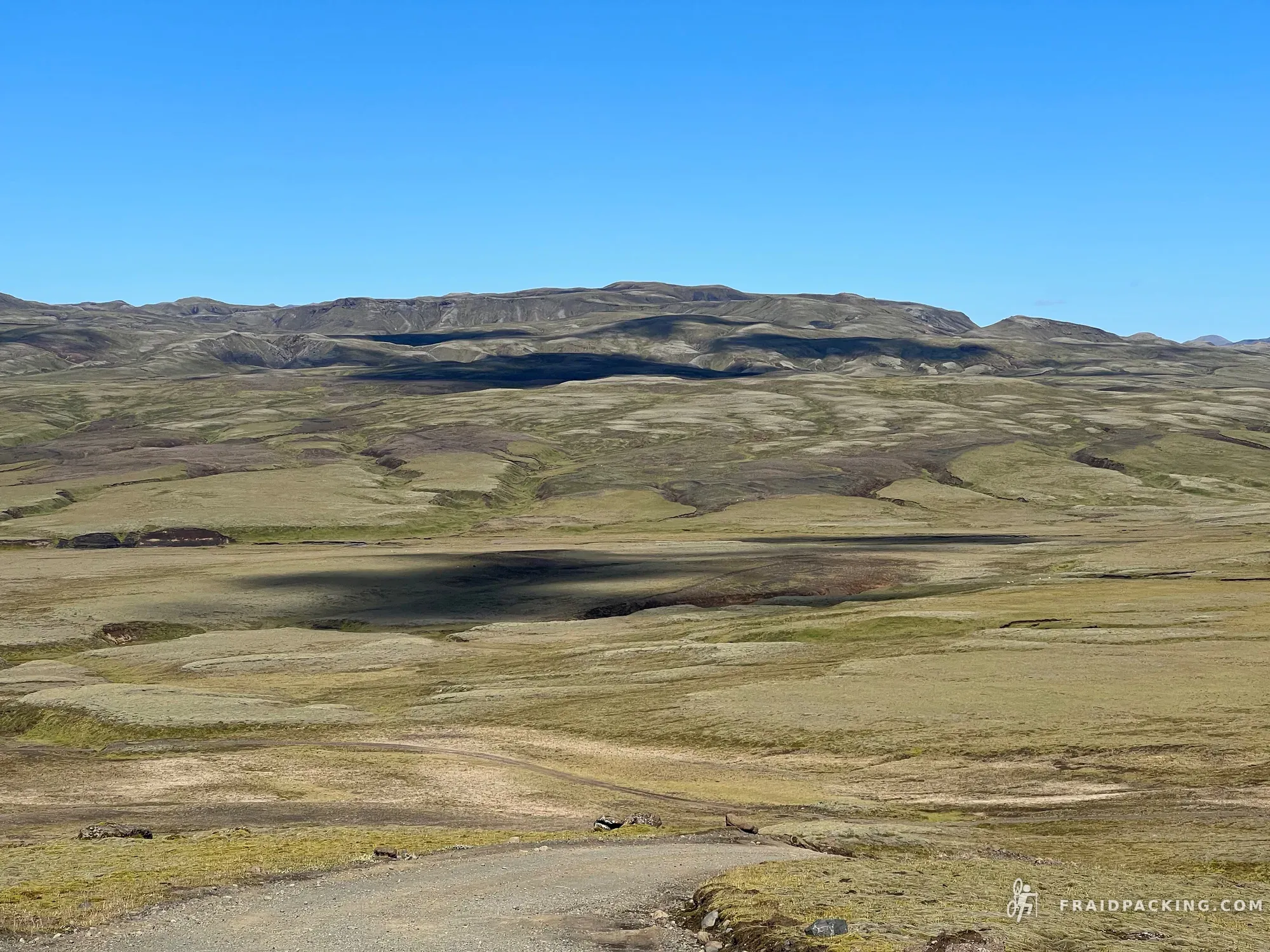
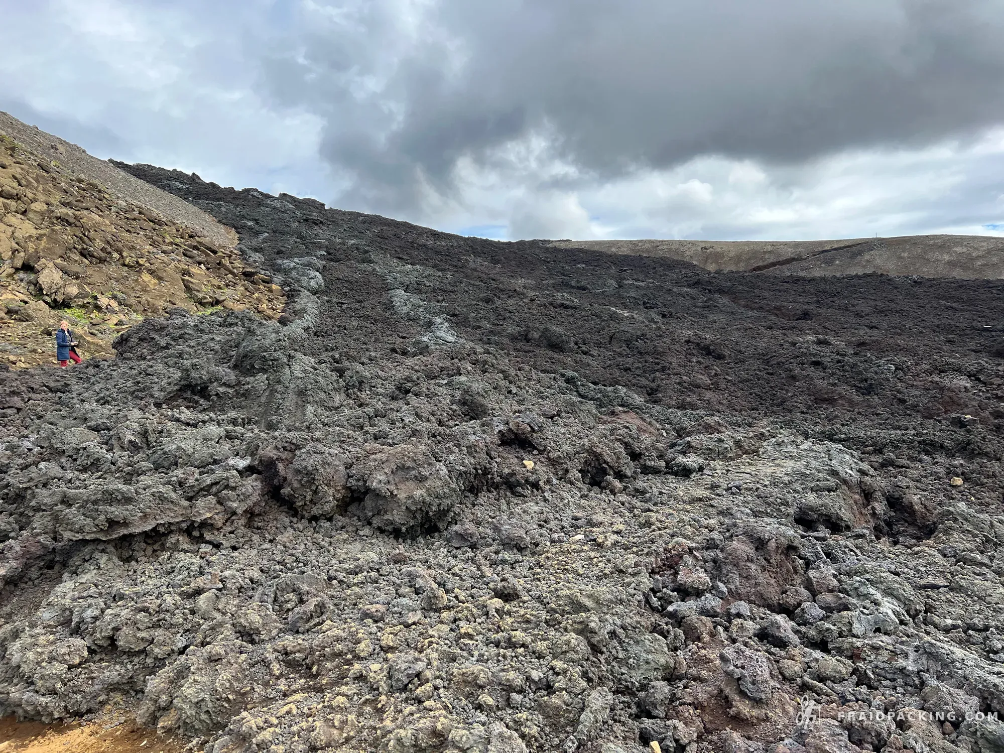
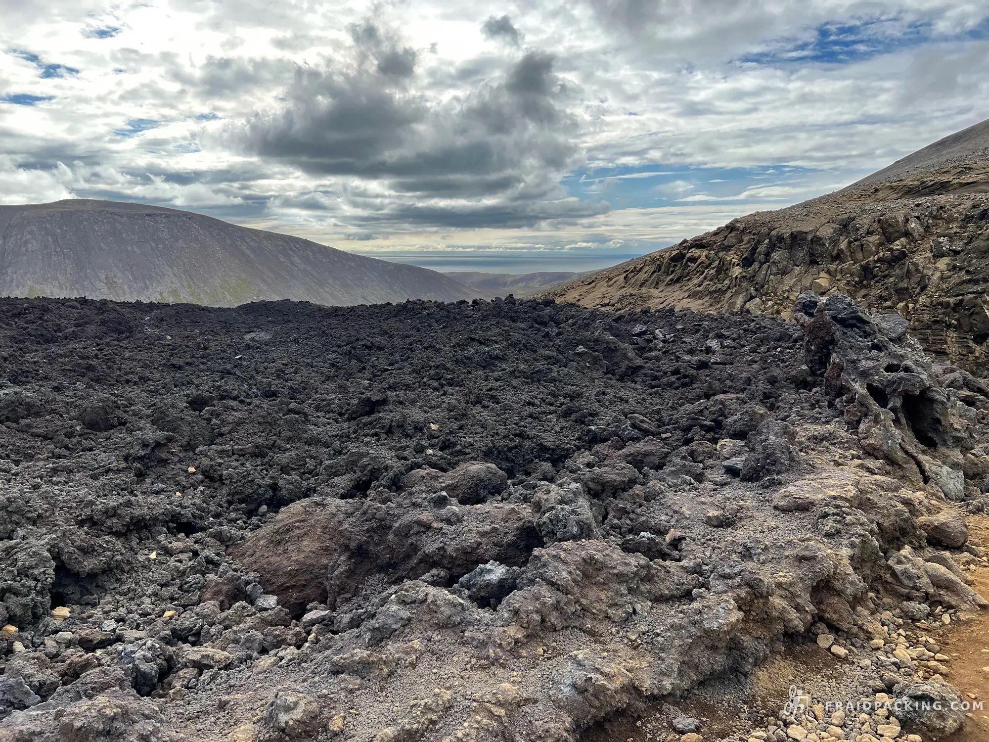
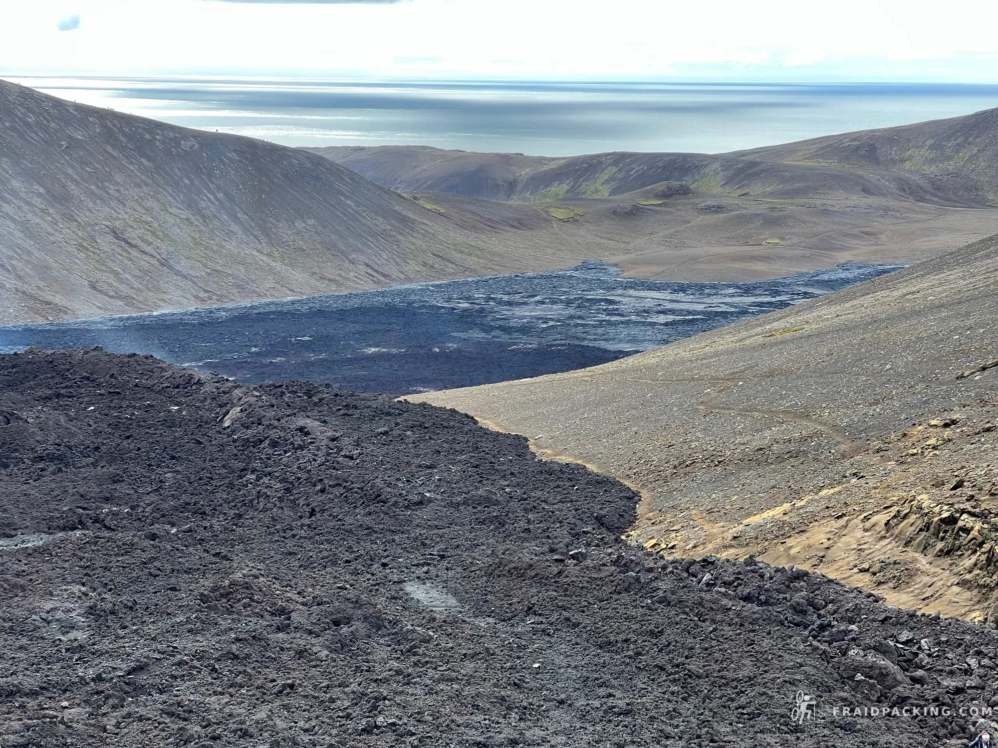
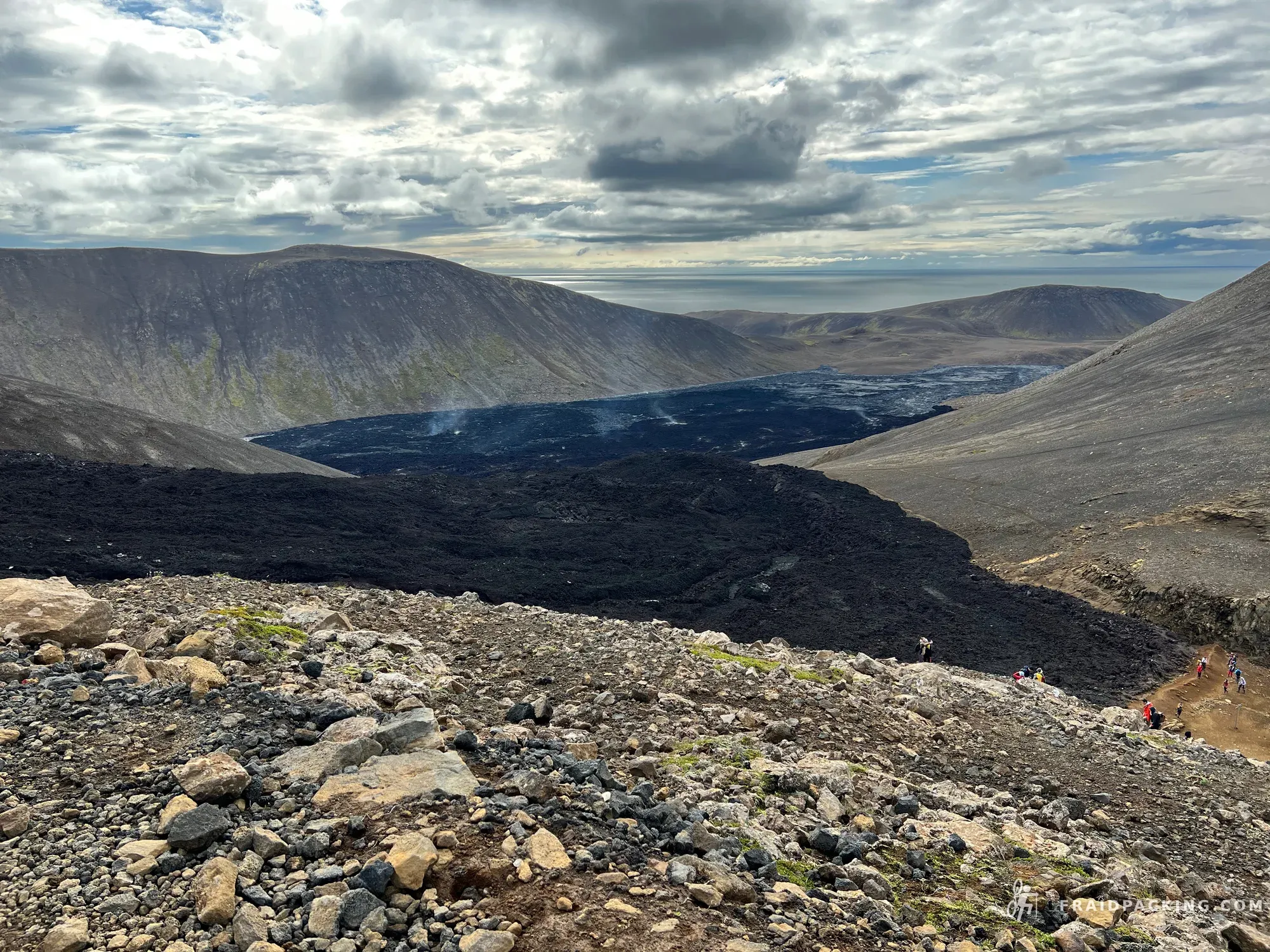
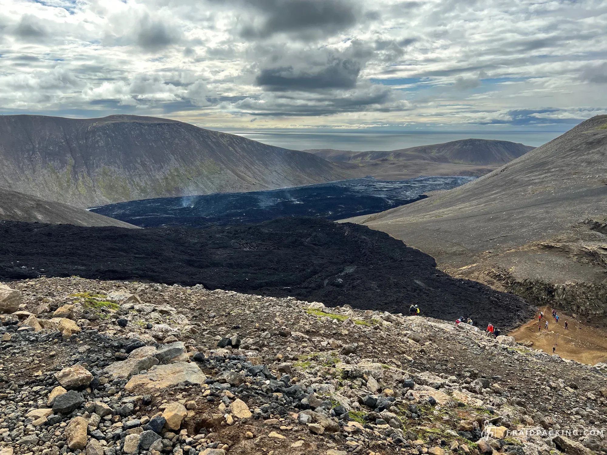
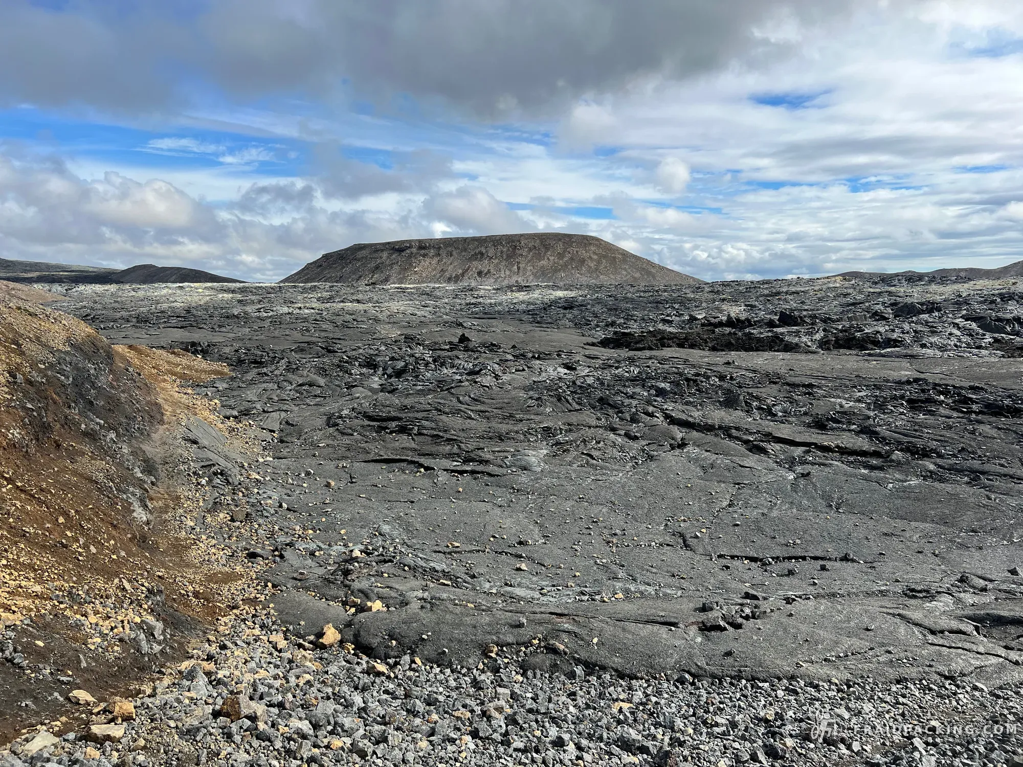
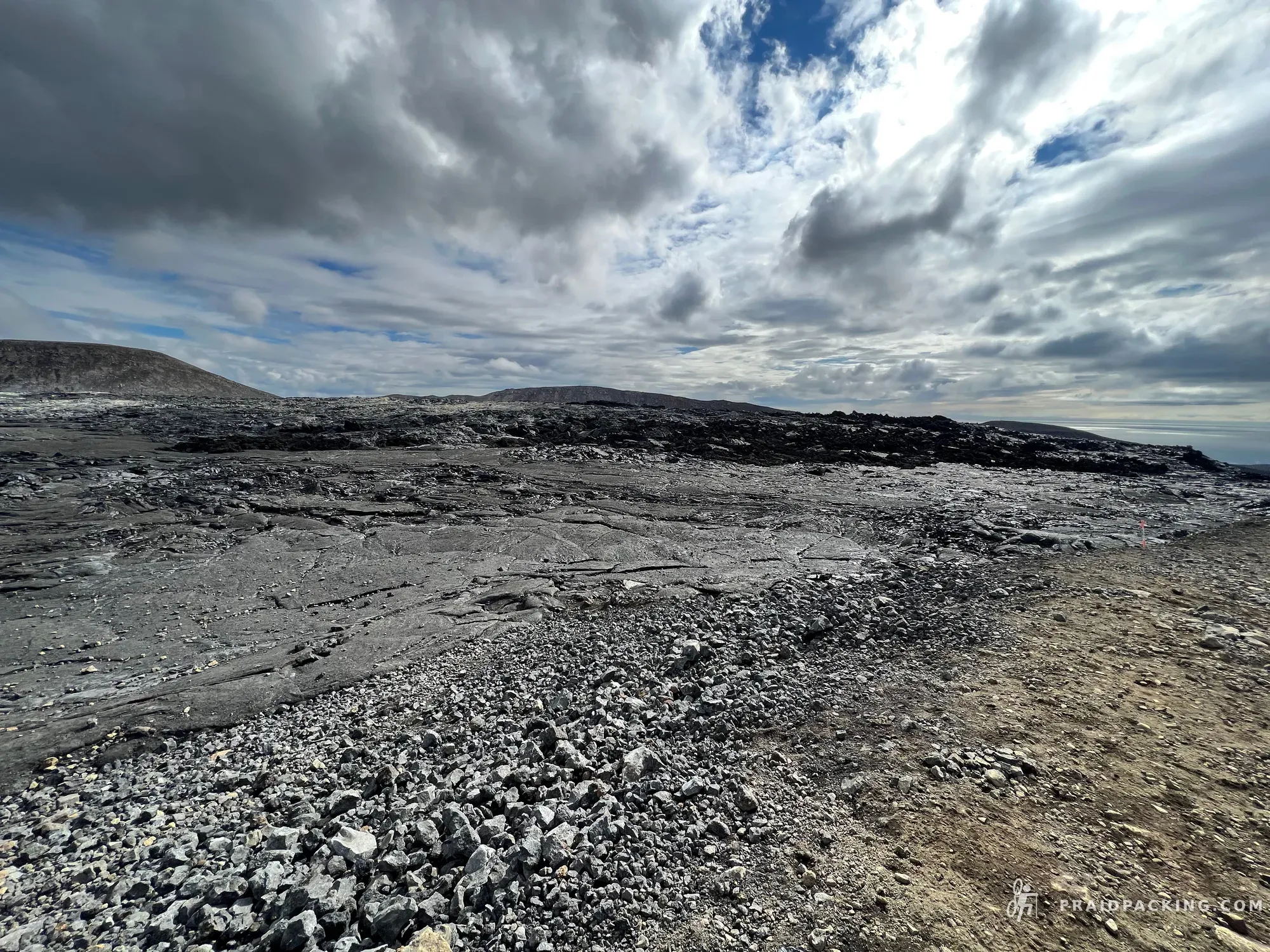
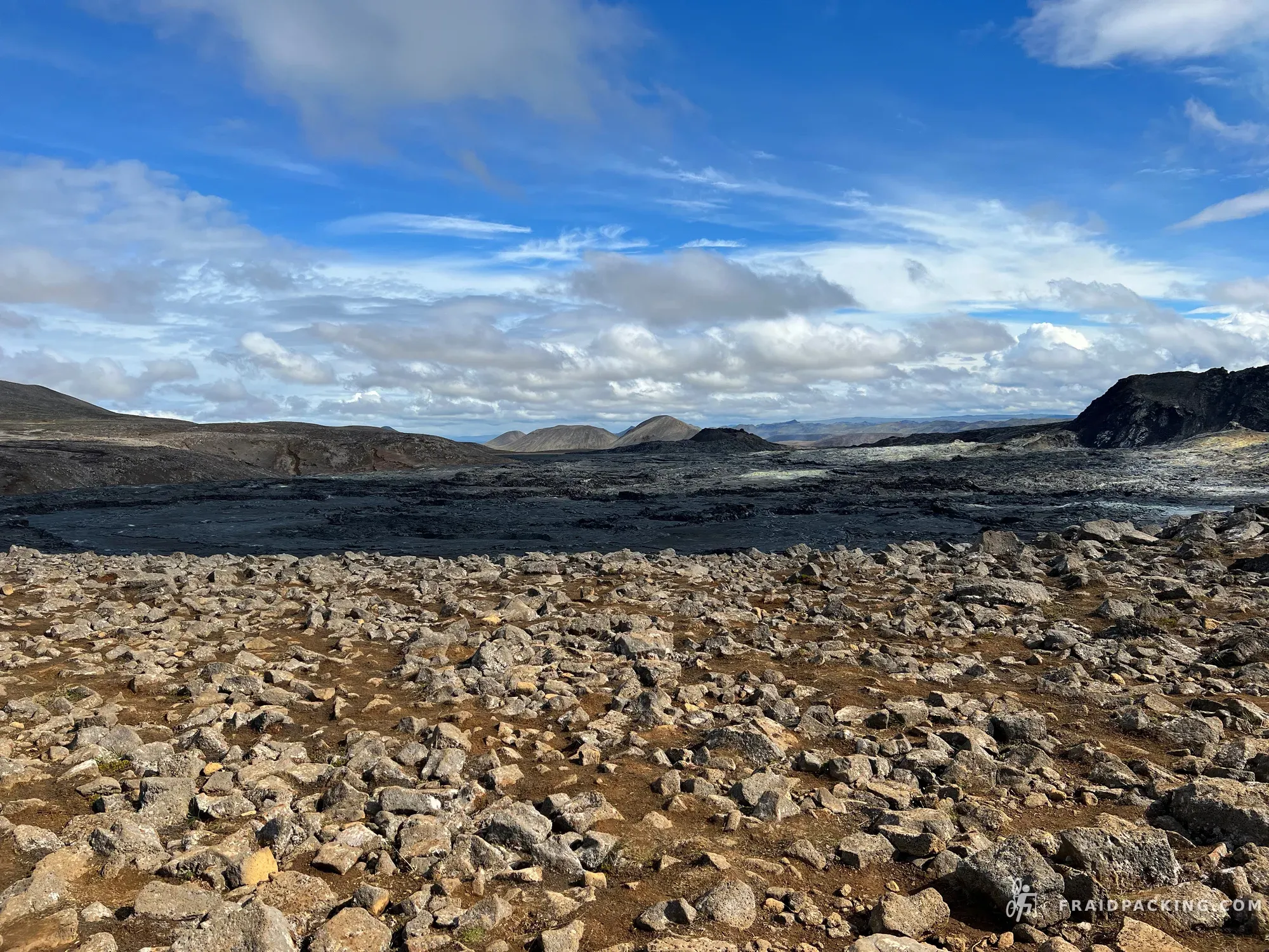
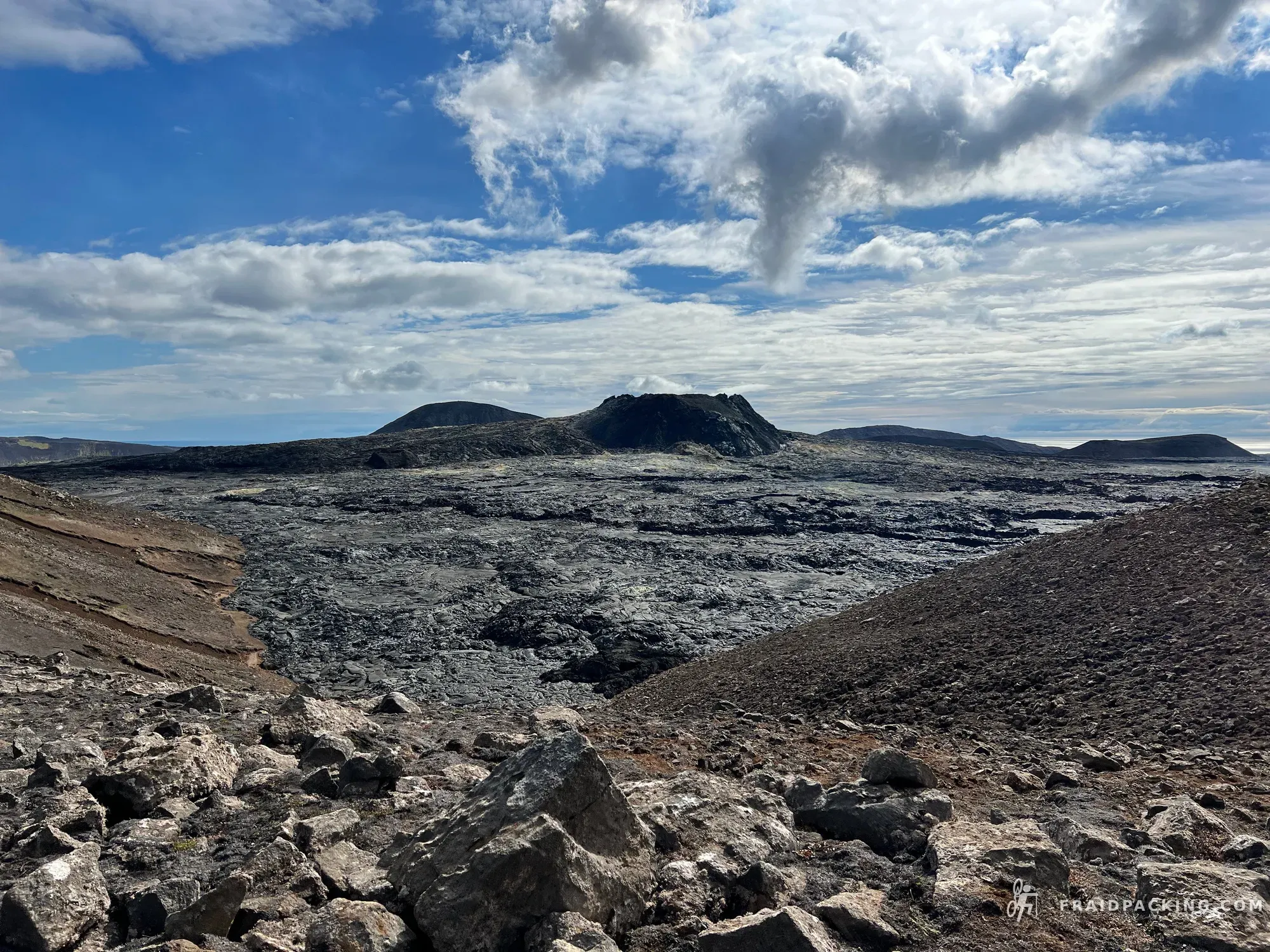
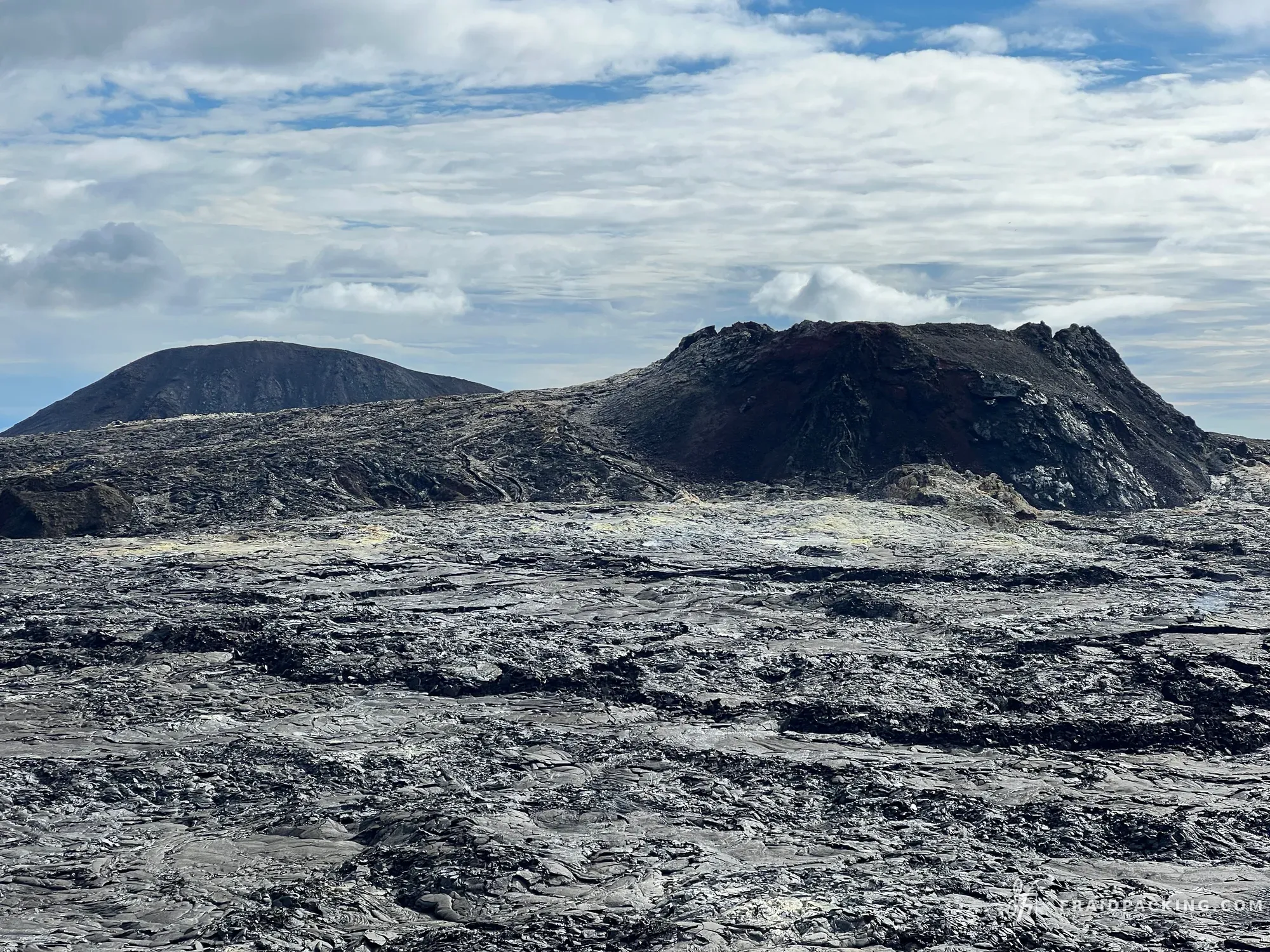
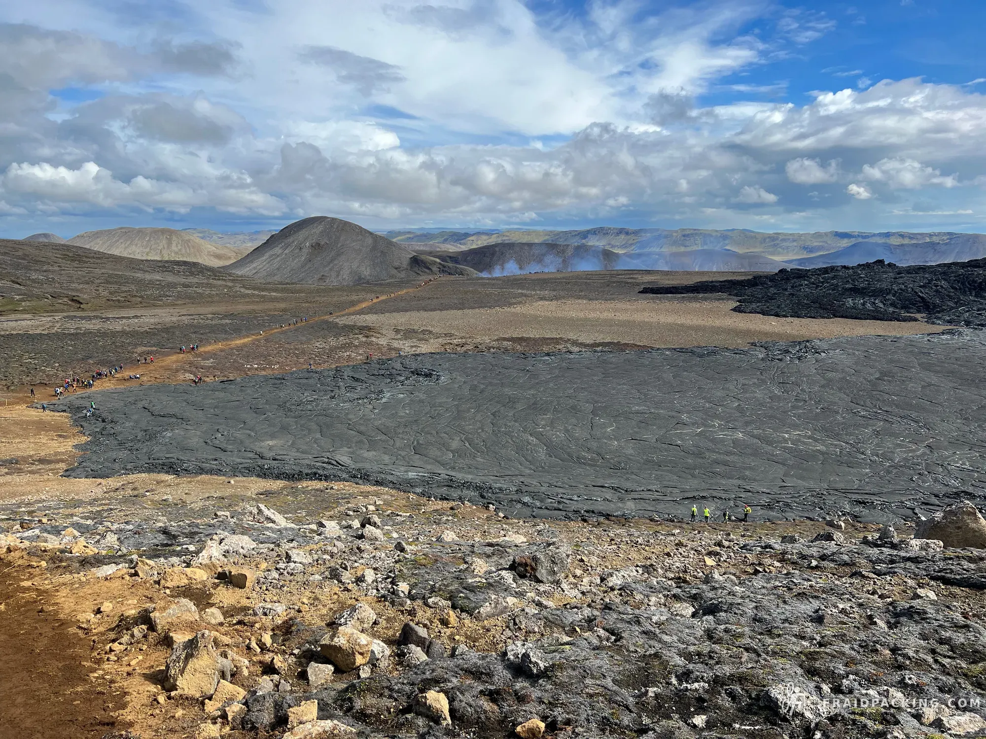
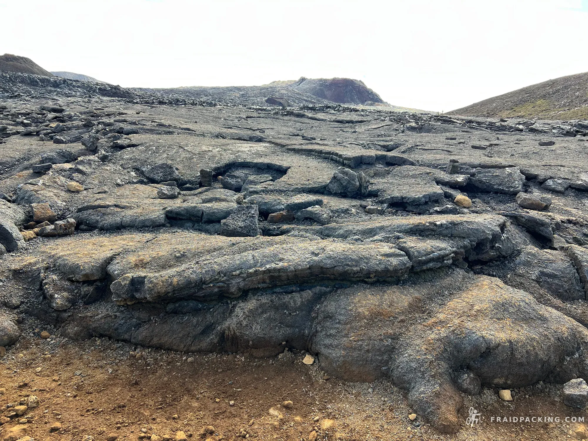
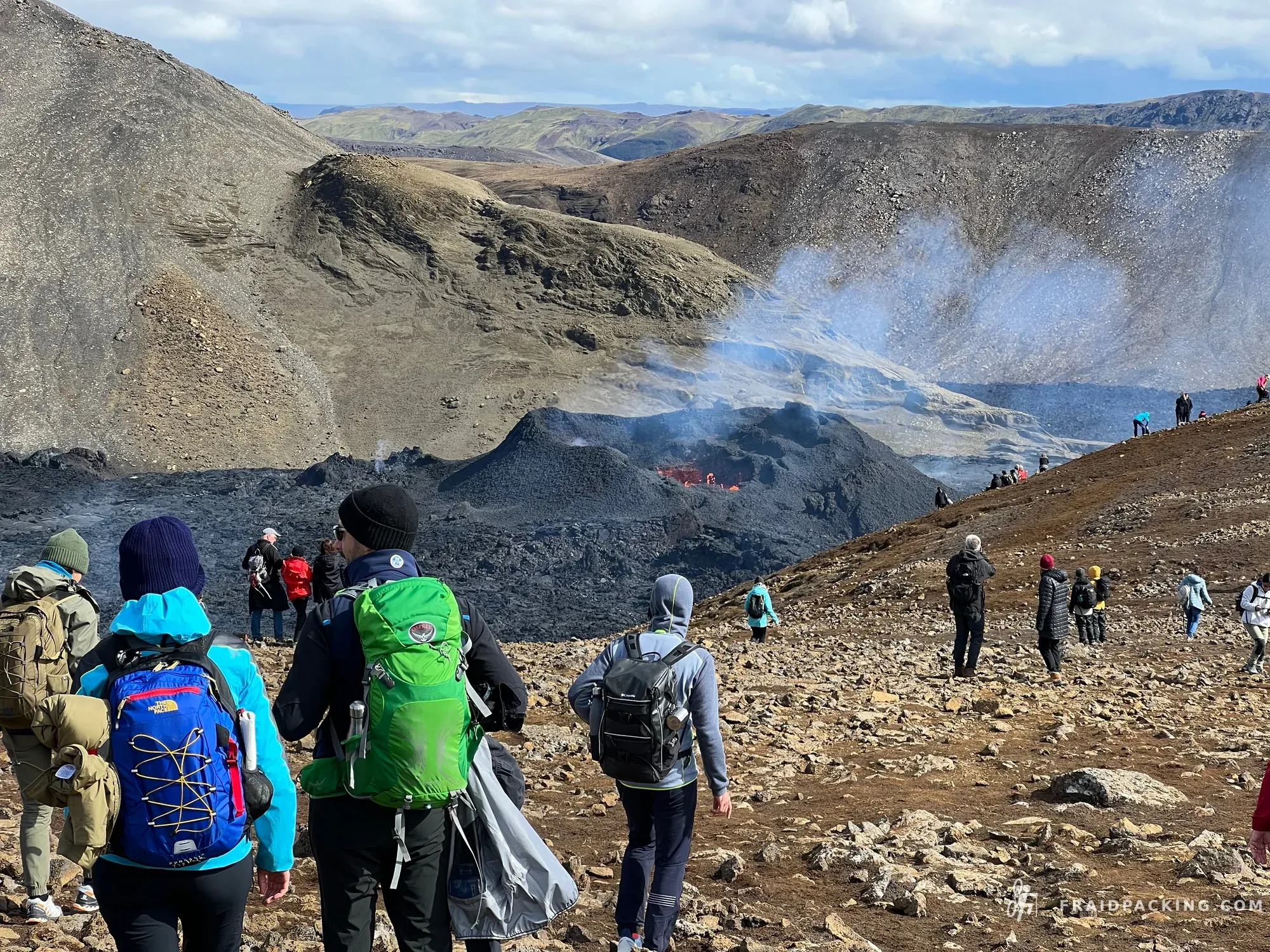
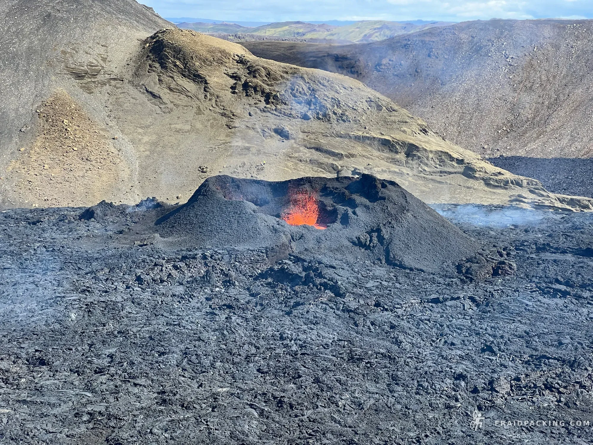
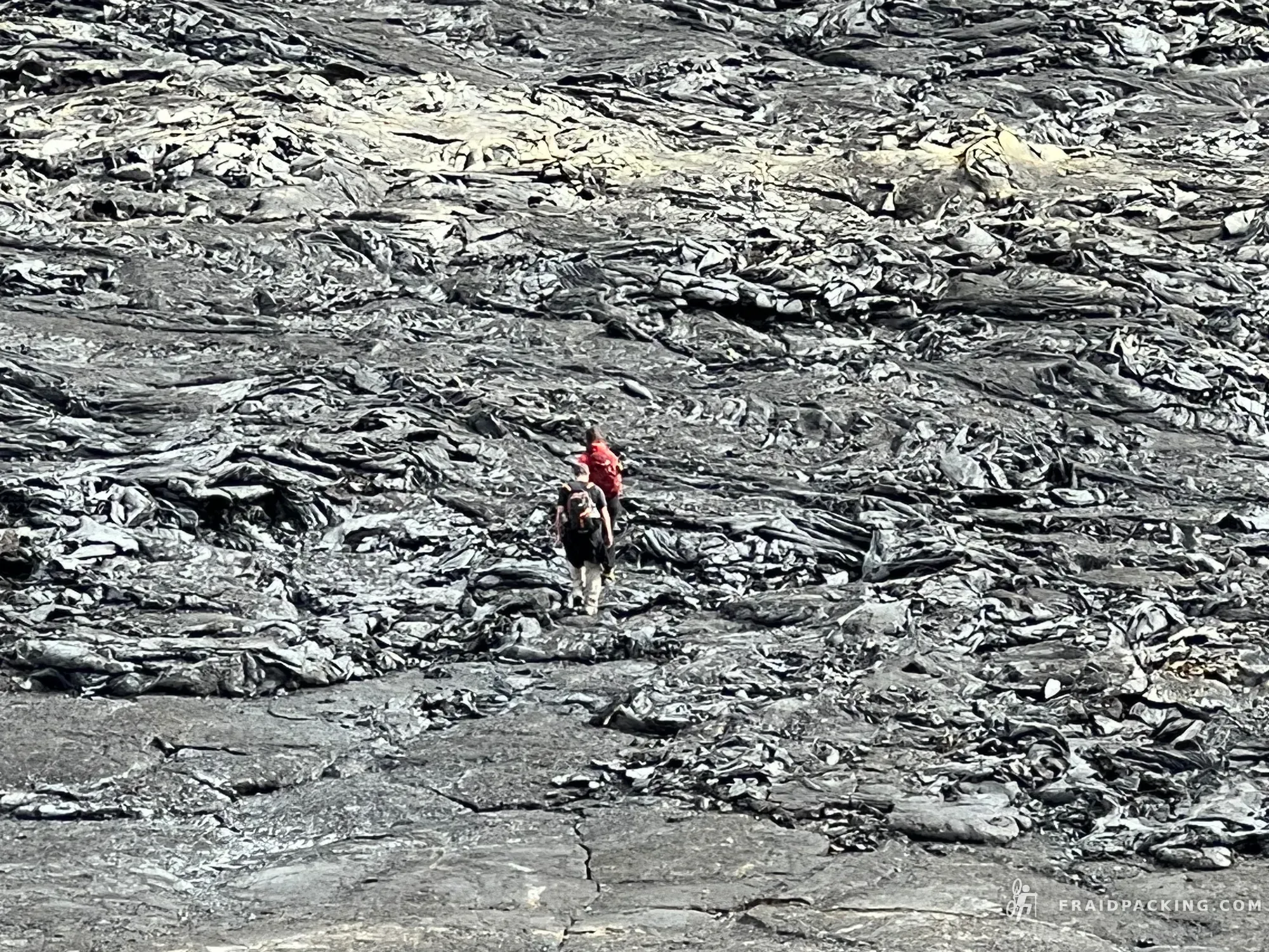
The Ódáðahraun — the 'desert of evil deeds' — is one of the largest lava deserts in Europe, and today it earns that name. Hours of black volcanic rubble stretching in every direction, with Herðubreið growing slowly on the horizon like something from another planet. The silence out here is a physical thing. Dyngjufell hut appears at dusk like a mirage, and it almost is.
- 3
Dyngjufell hut - Kistufell
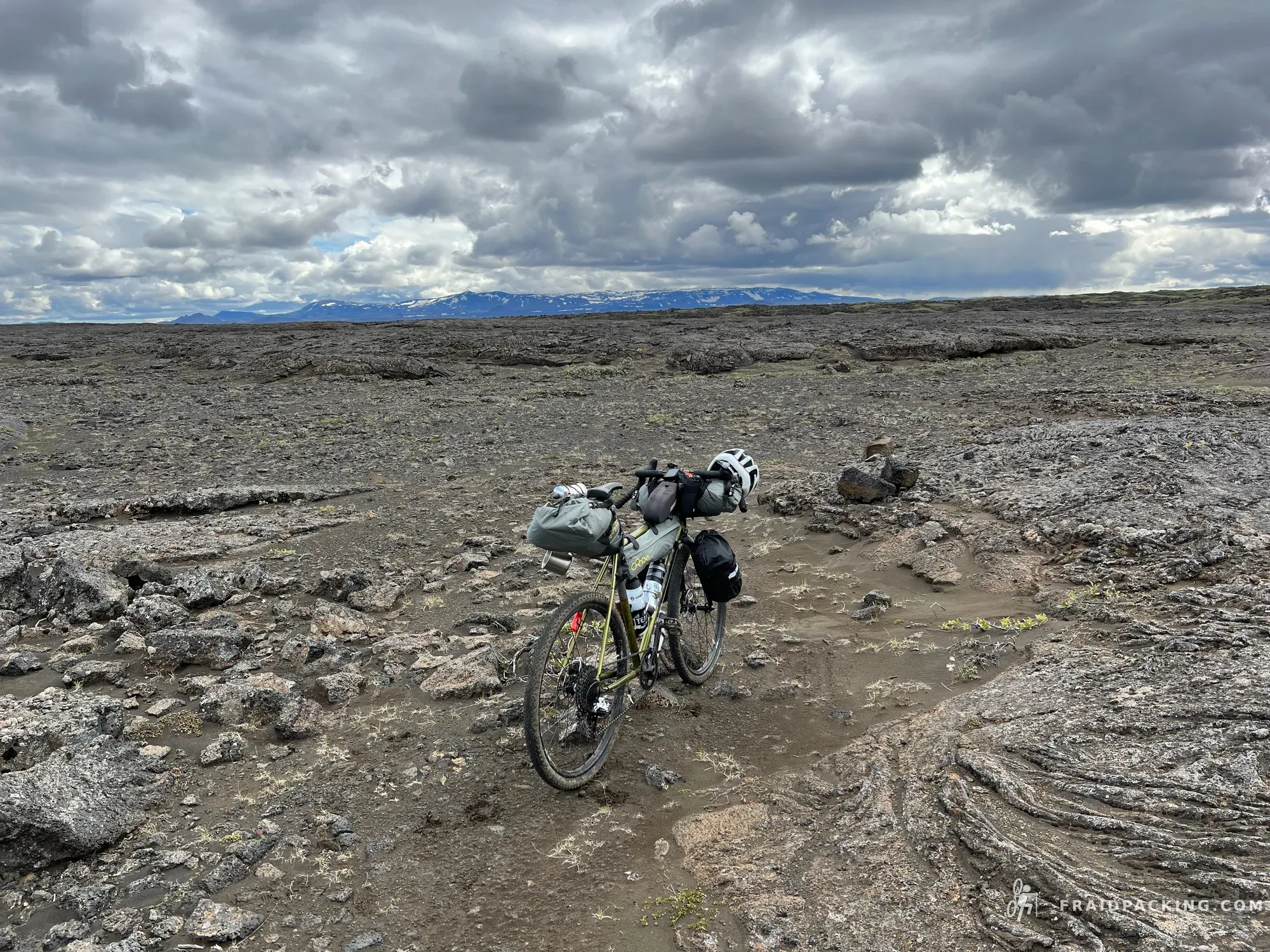
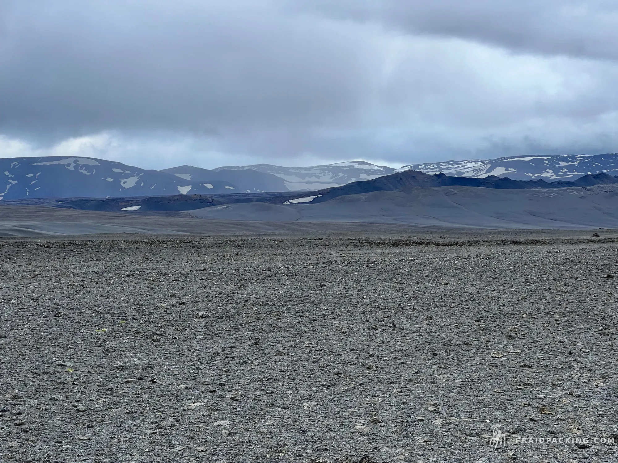
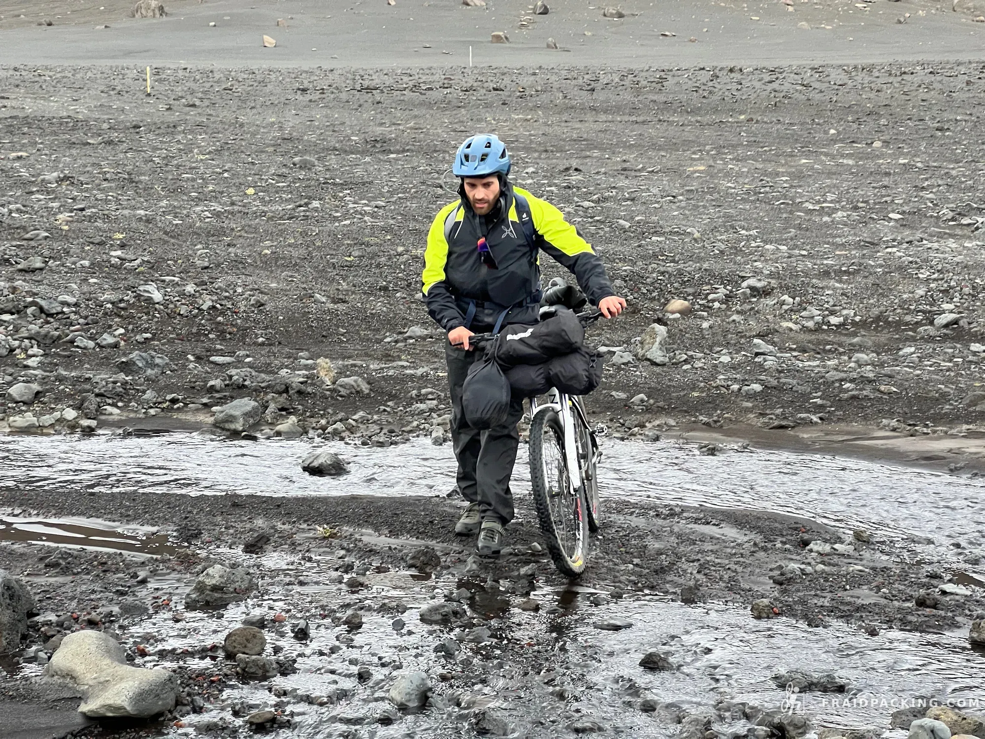
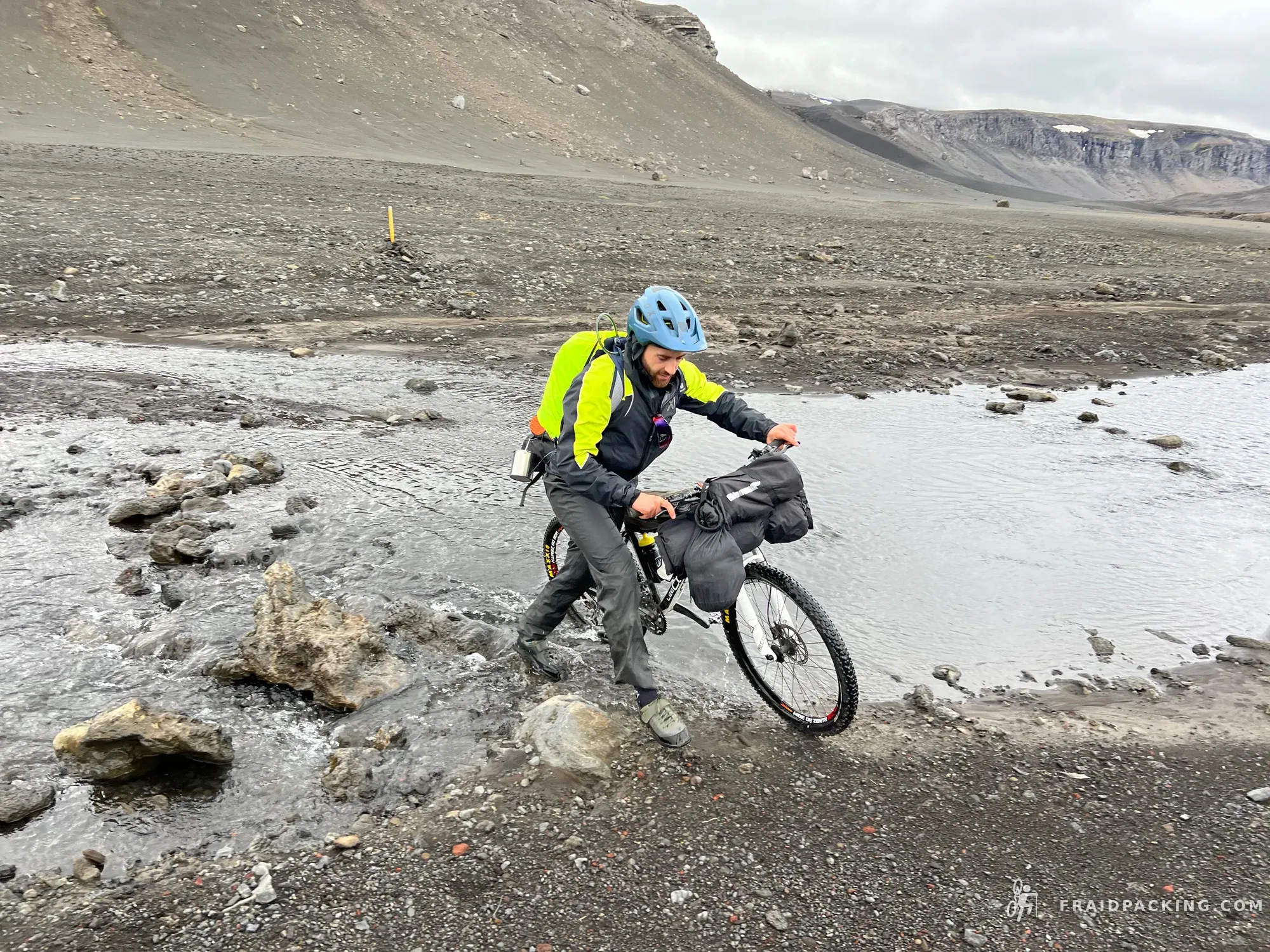
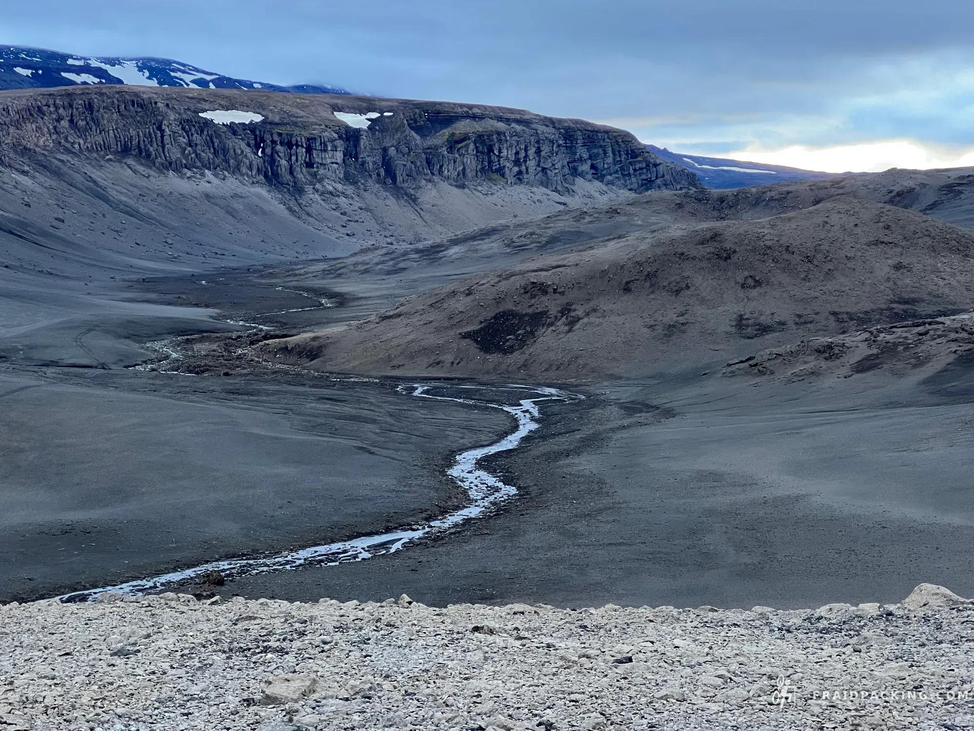
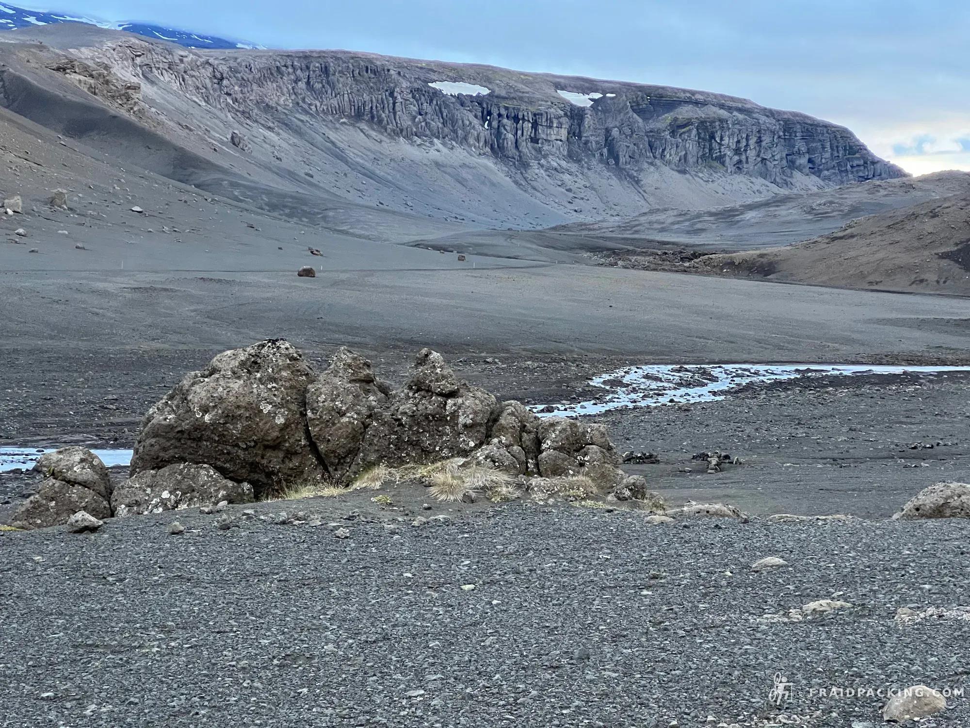
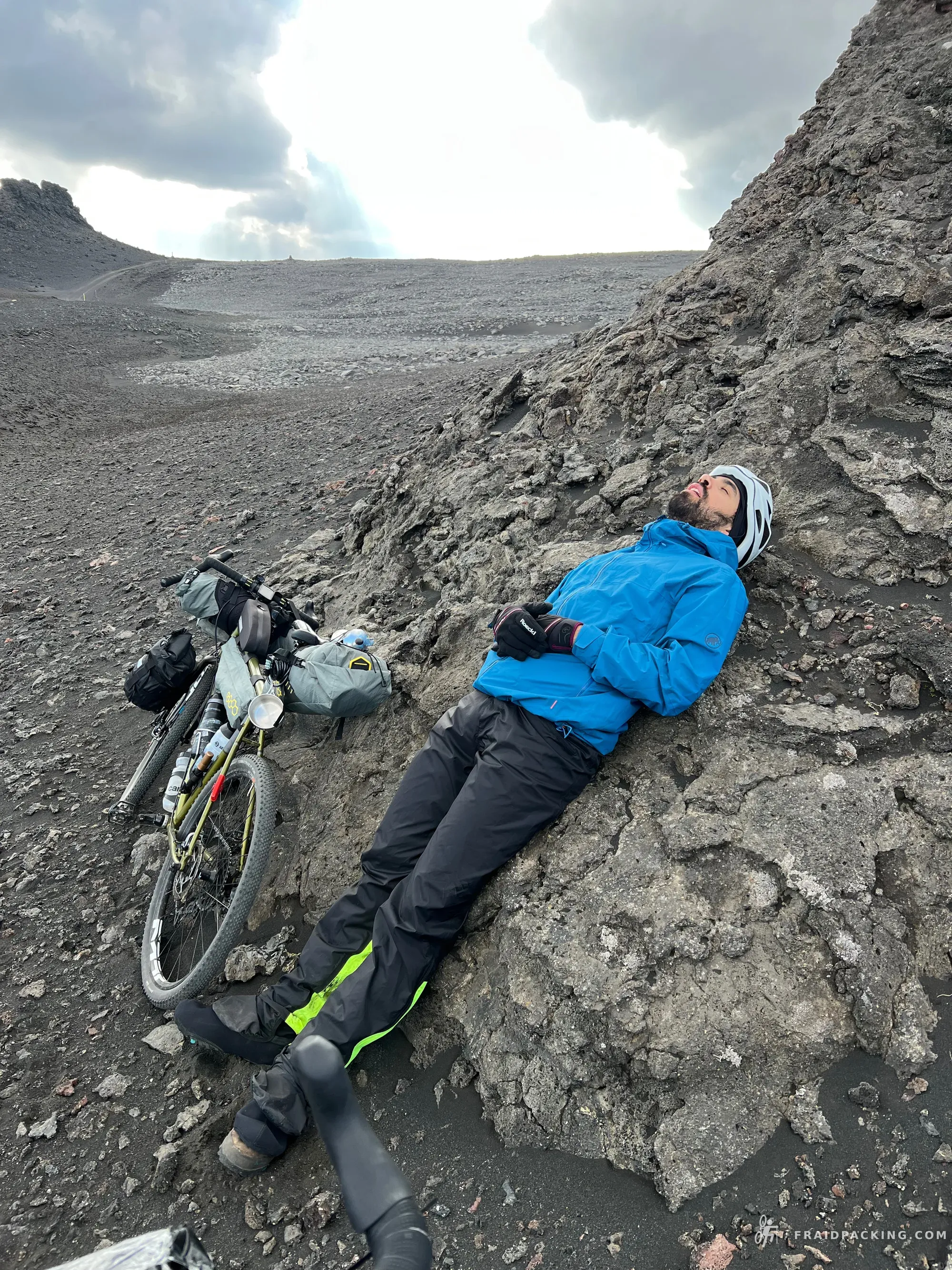
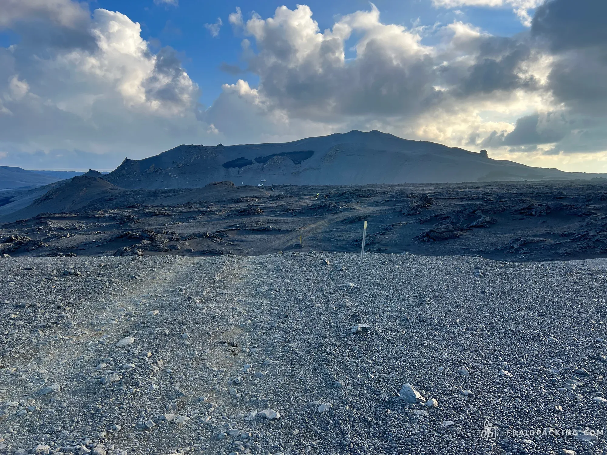
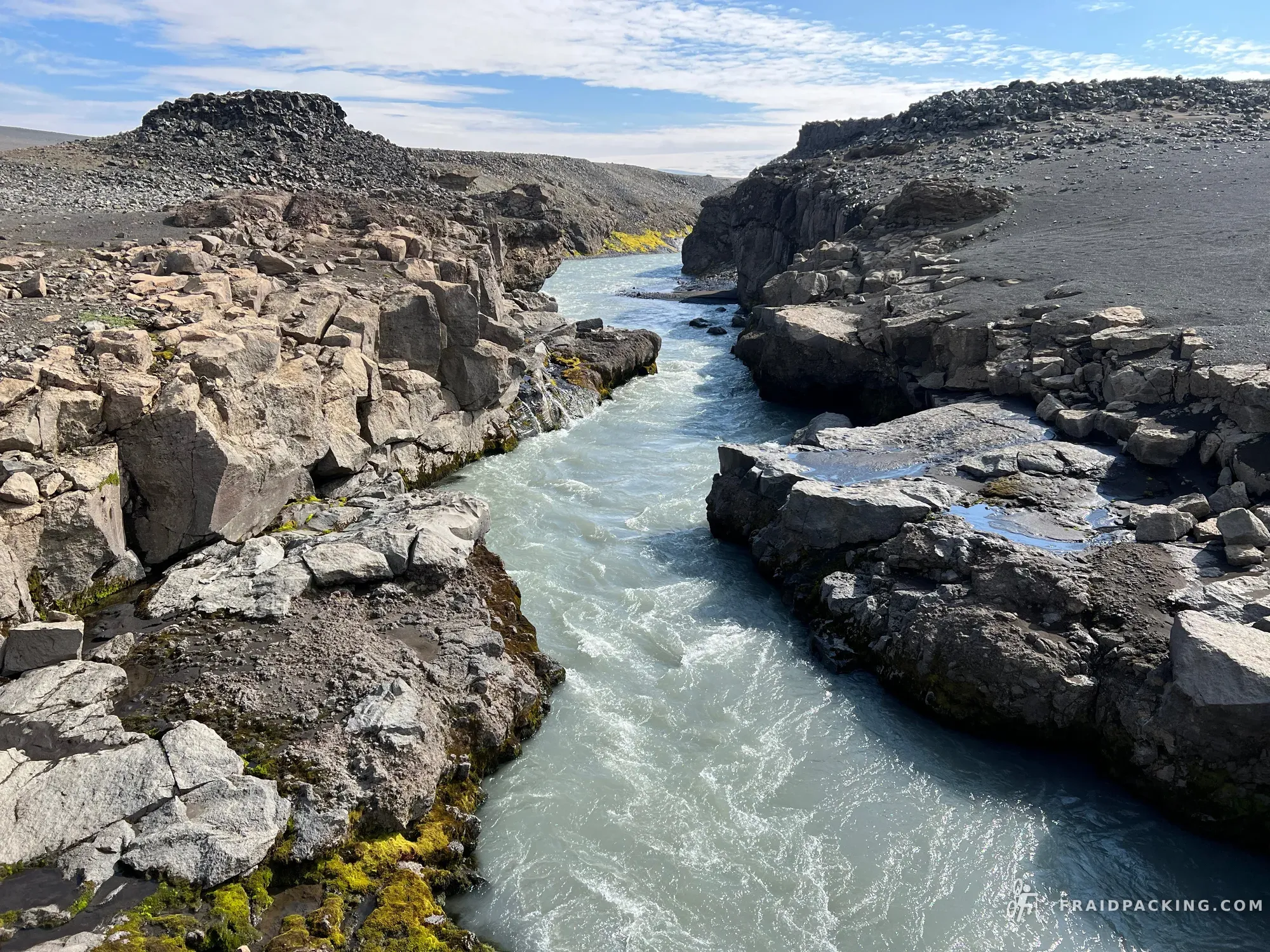
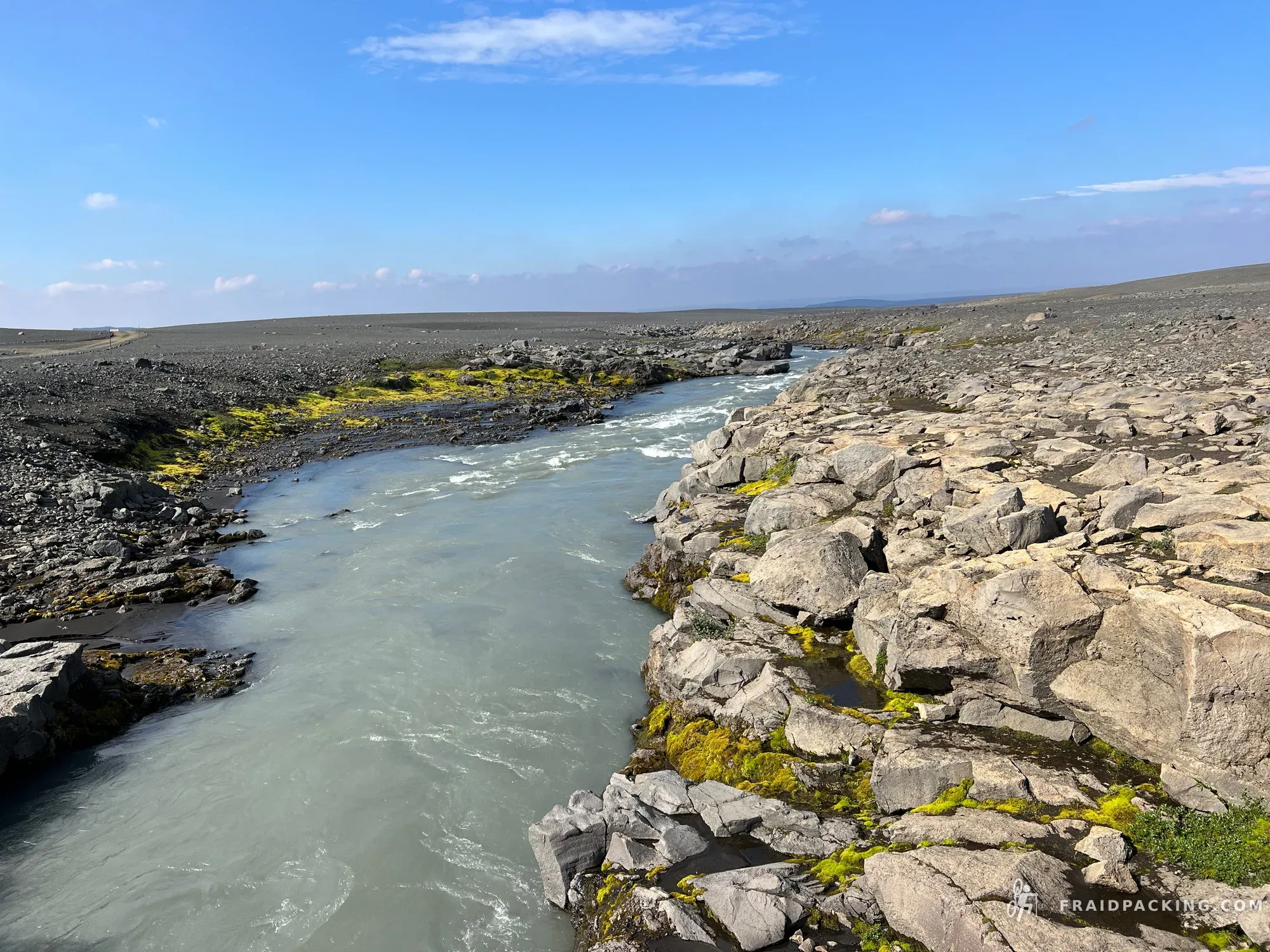
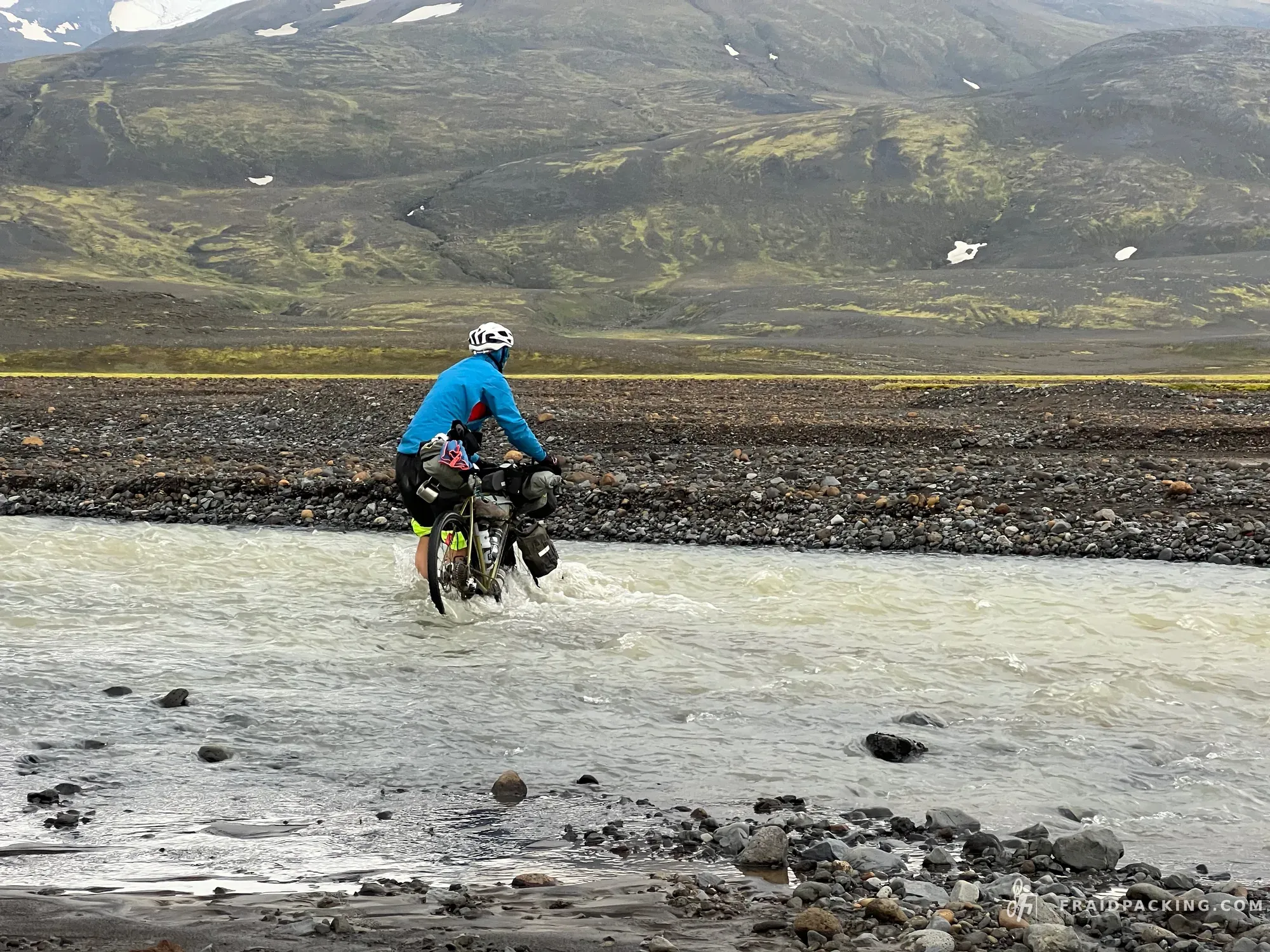
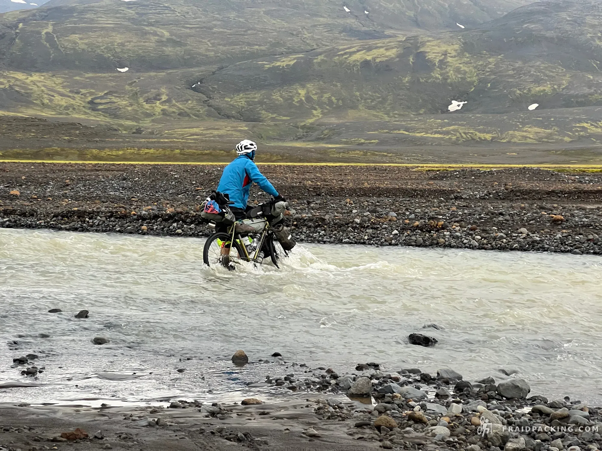
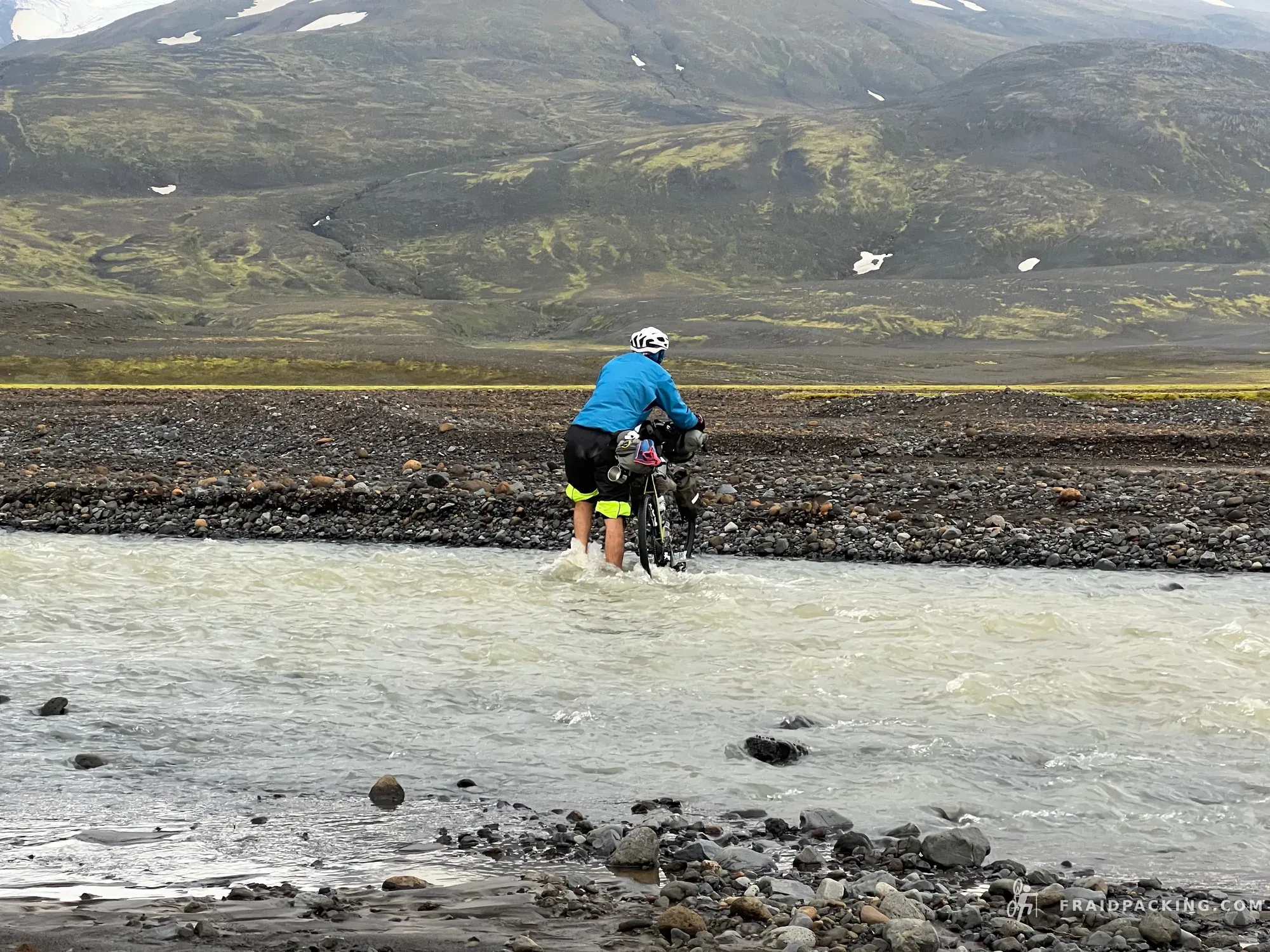
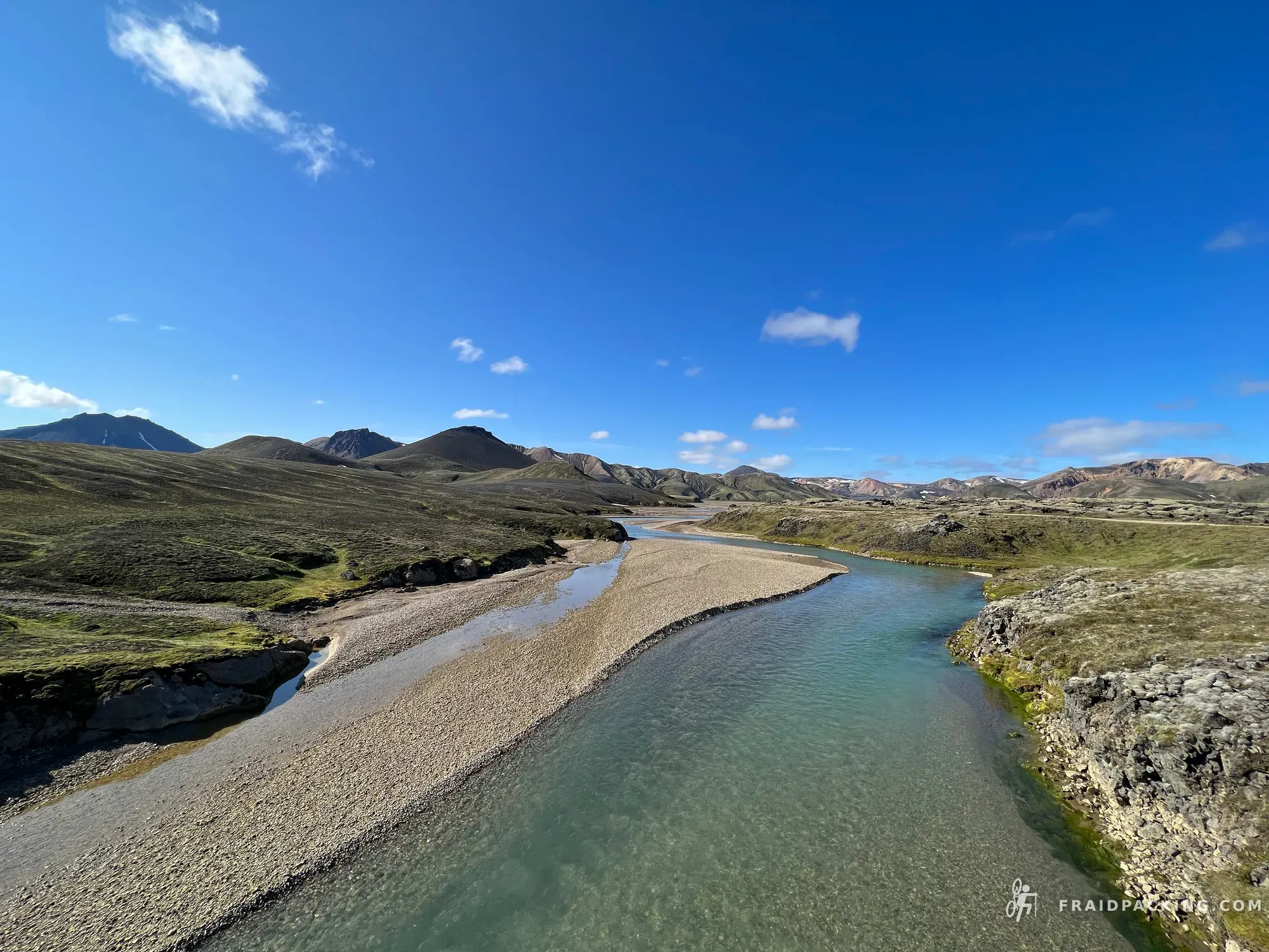
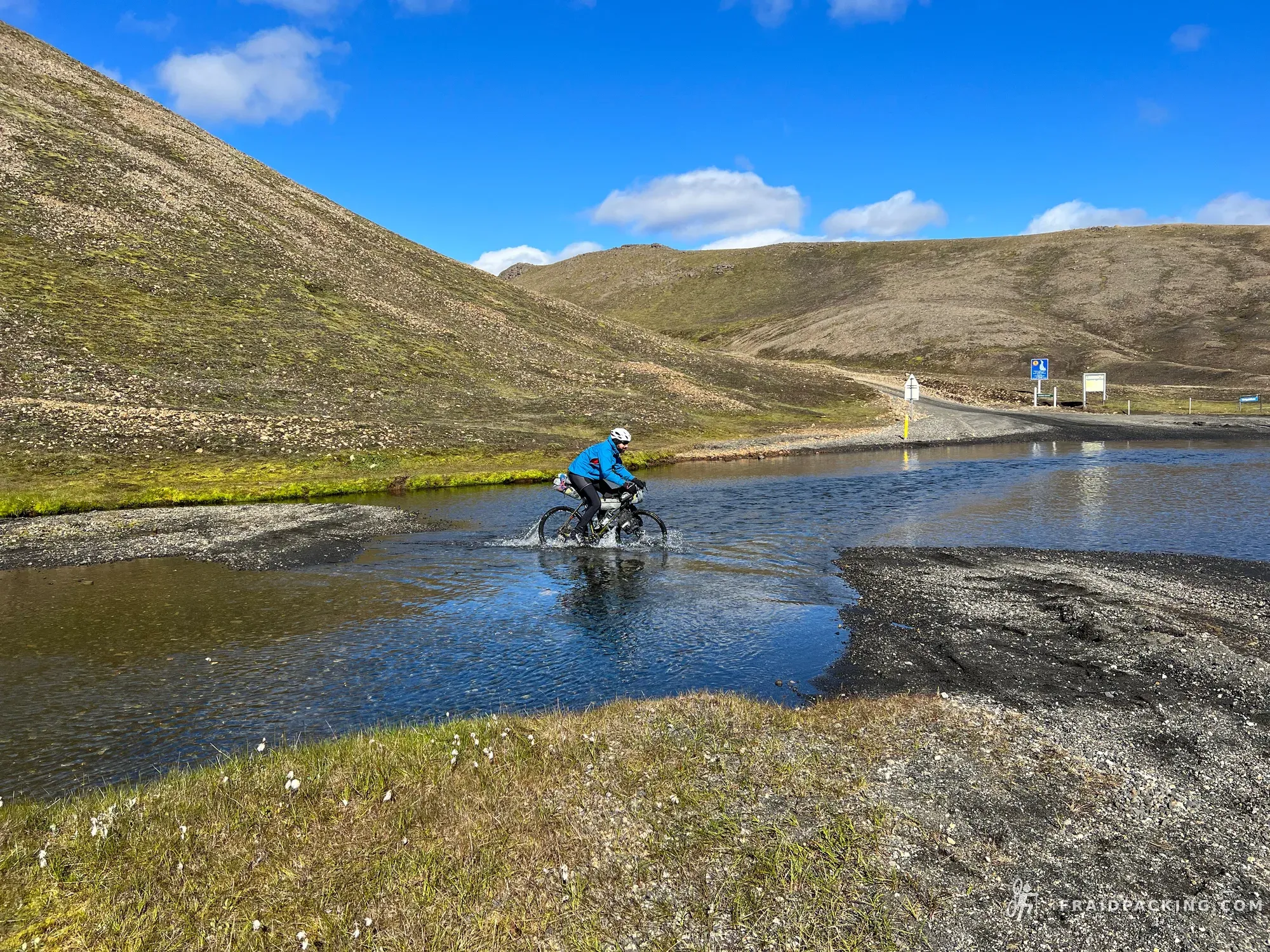
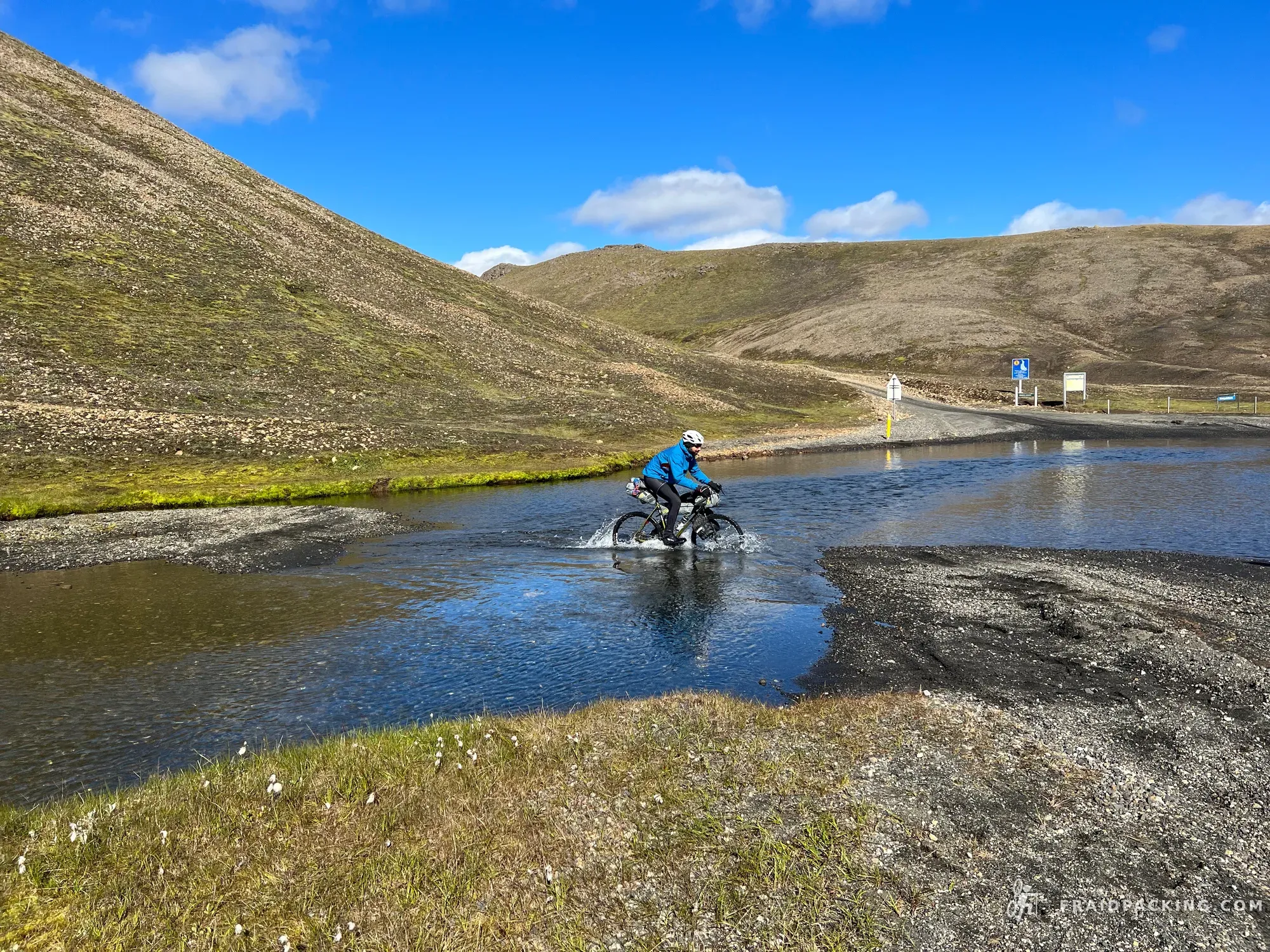
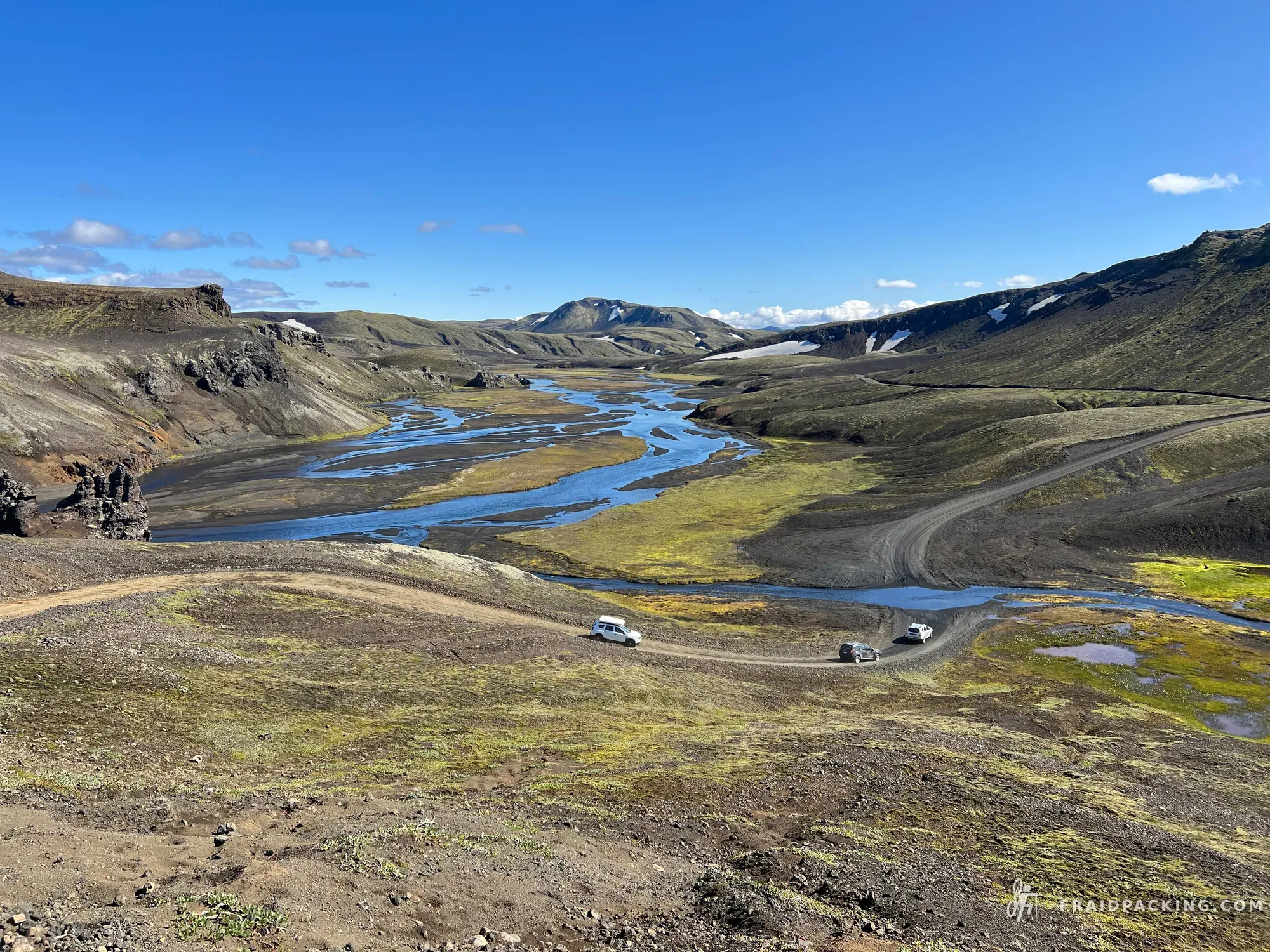
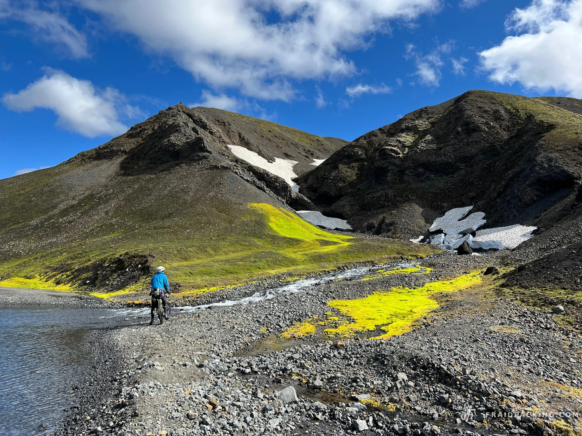
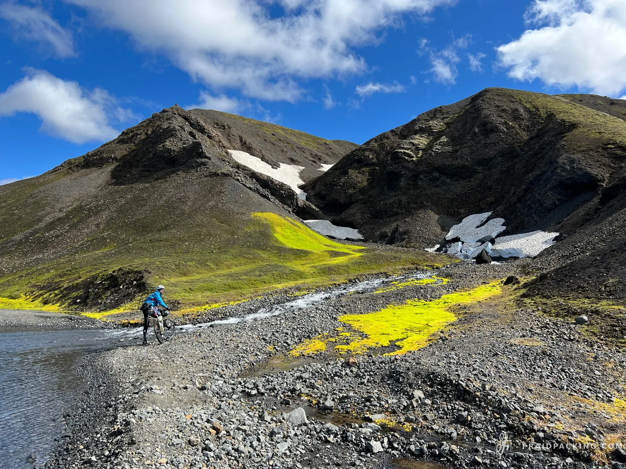
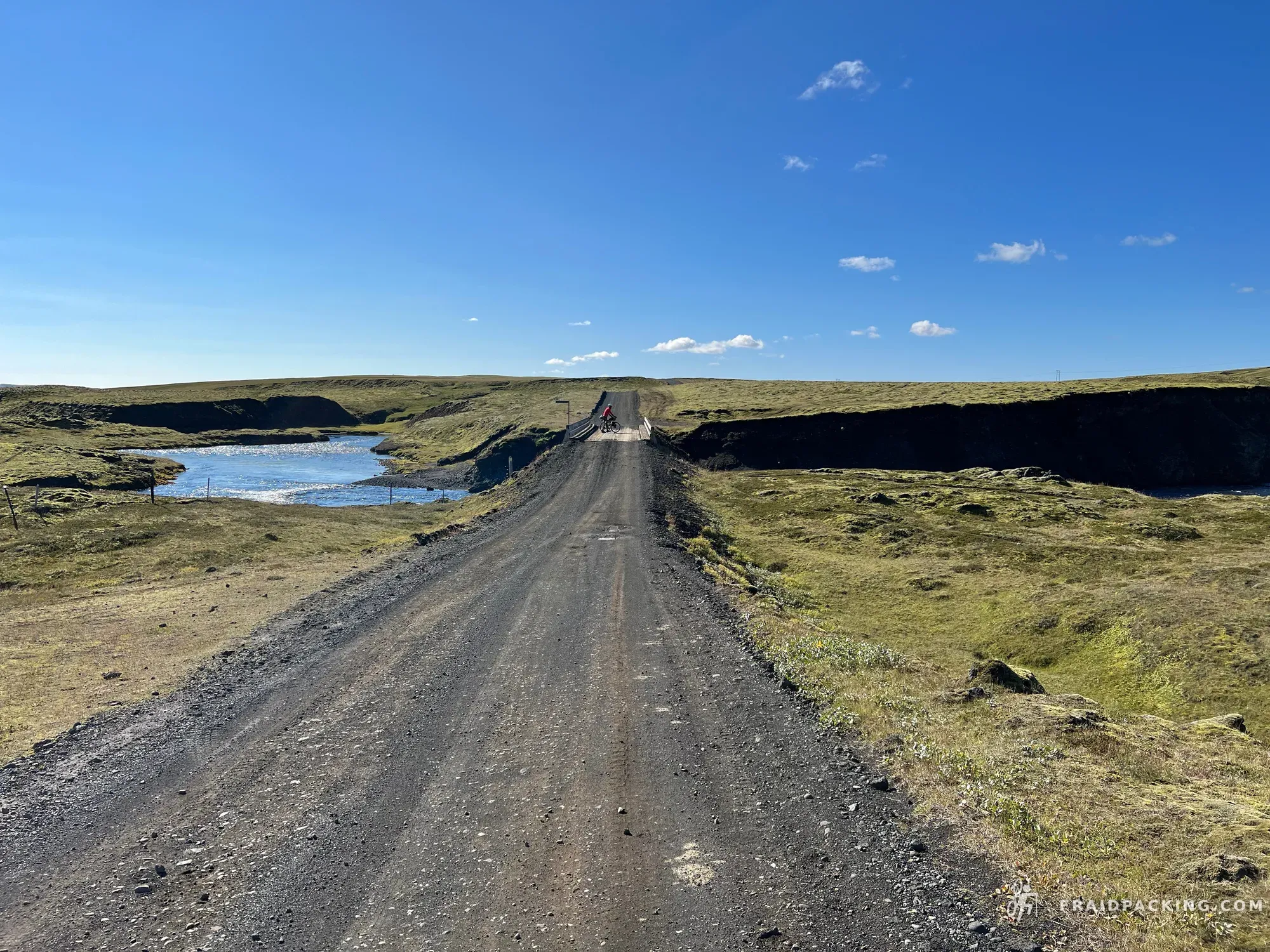
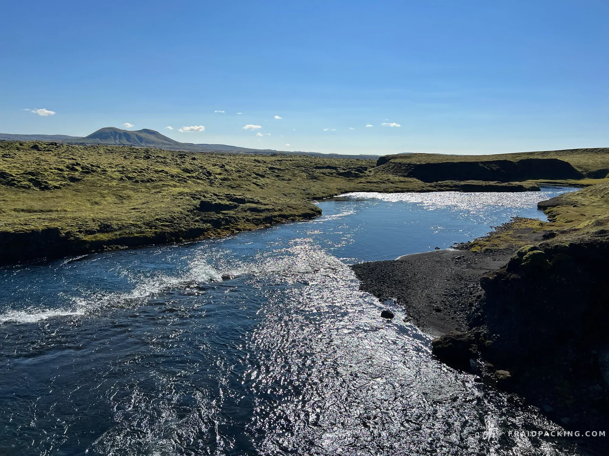
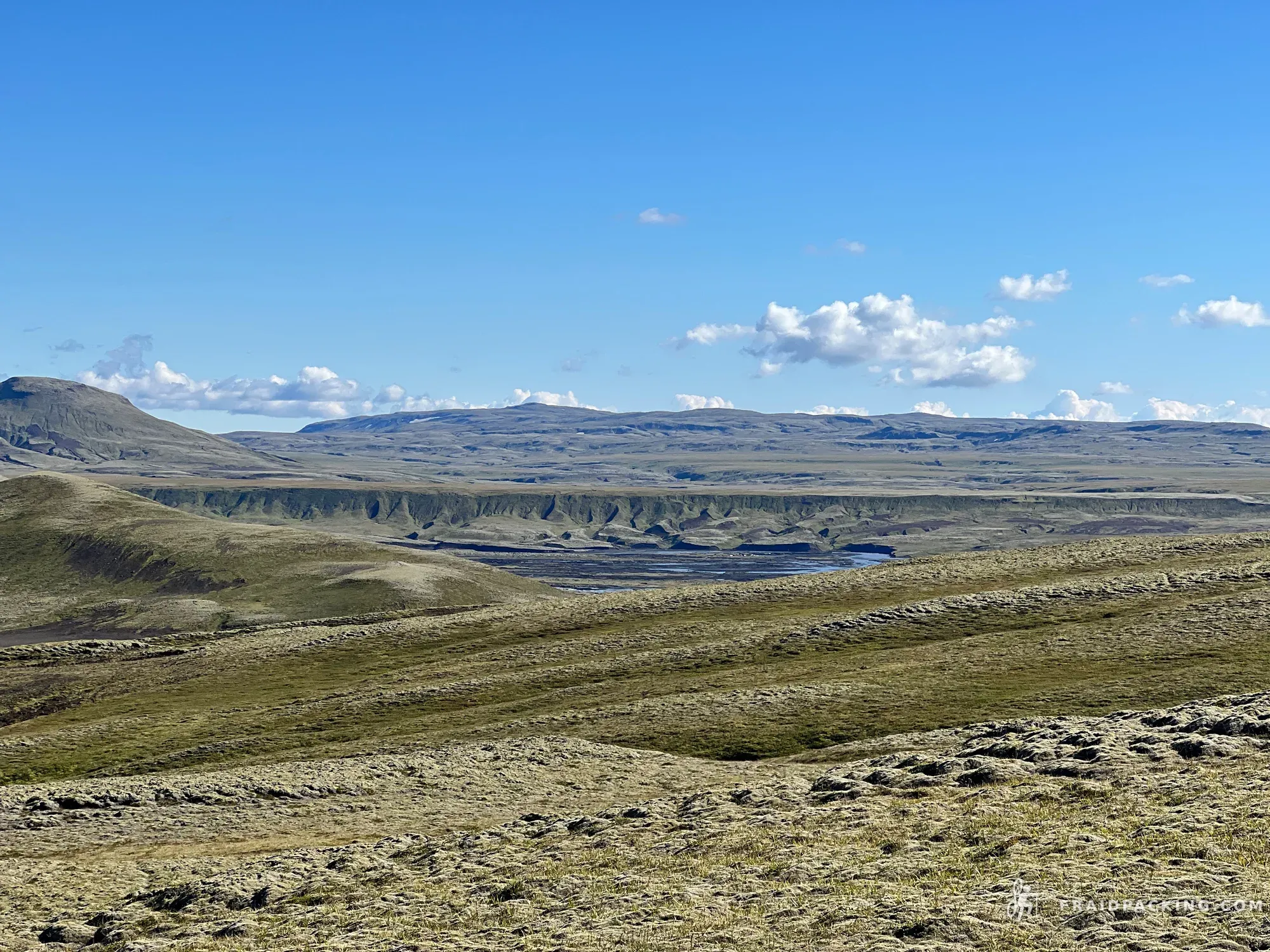
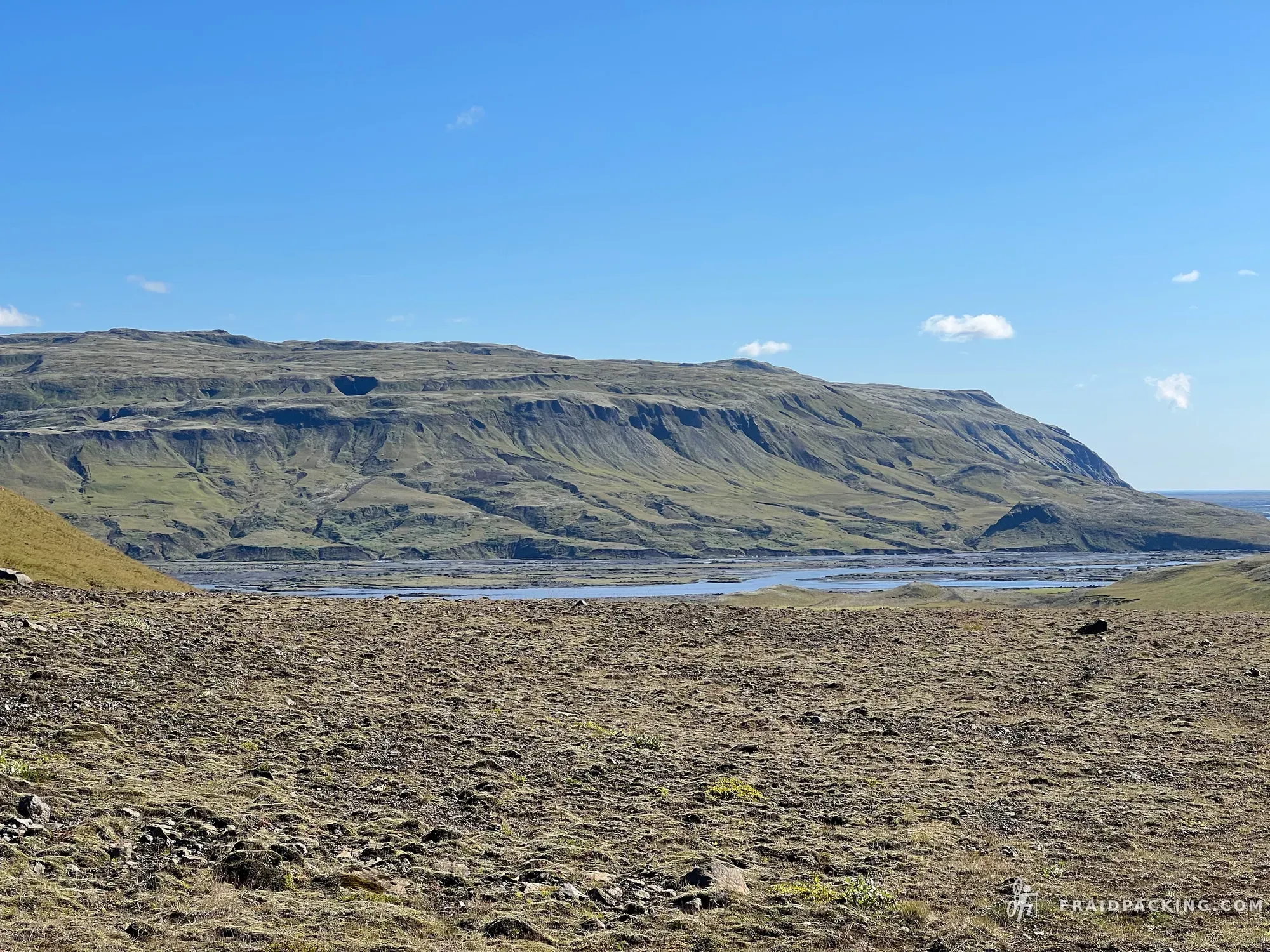
Deep into the interior now, past Askja and into terrain that looks genuinely extraterrestrial. Multiple glacial river crossings — cold, fast, thigh-deep — with no bridges and no choice but to unclip and wade. The scale of everything out here makes the bike feel absurdly small. Kistufell's flat-topped silhouette on the horizon is the only landmark for the last two hours.
- 4
Kistufell - Nýidalur
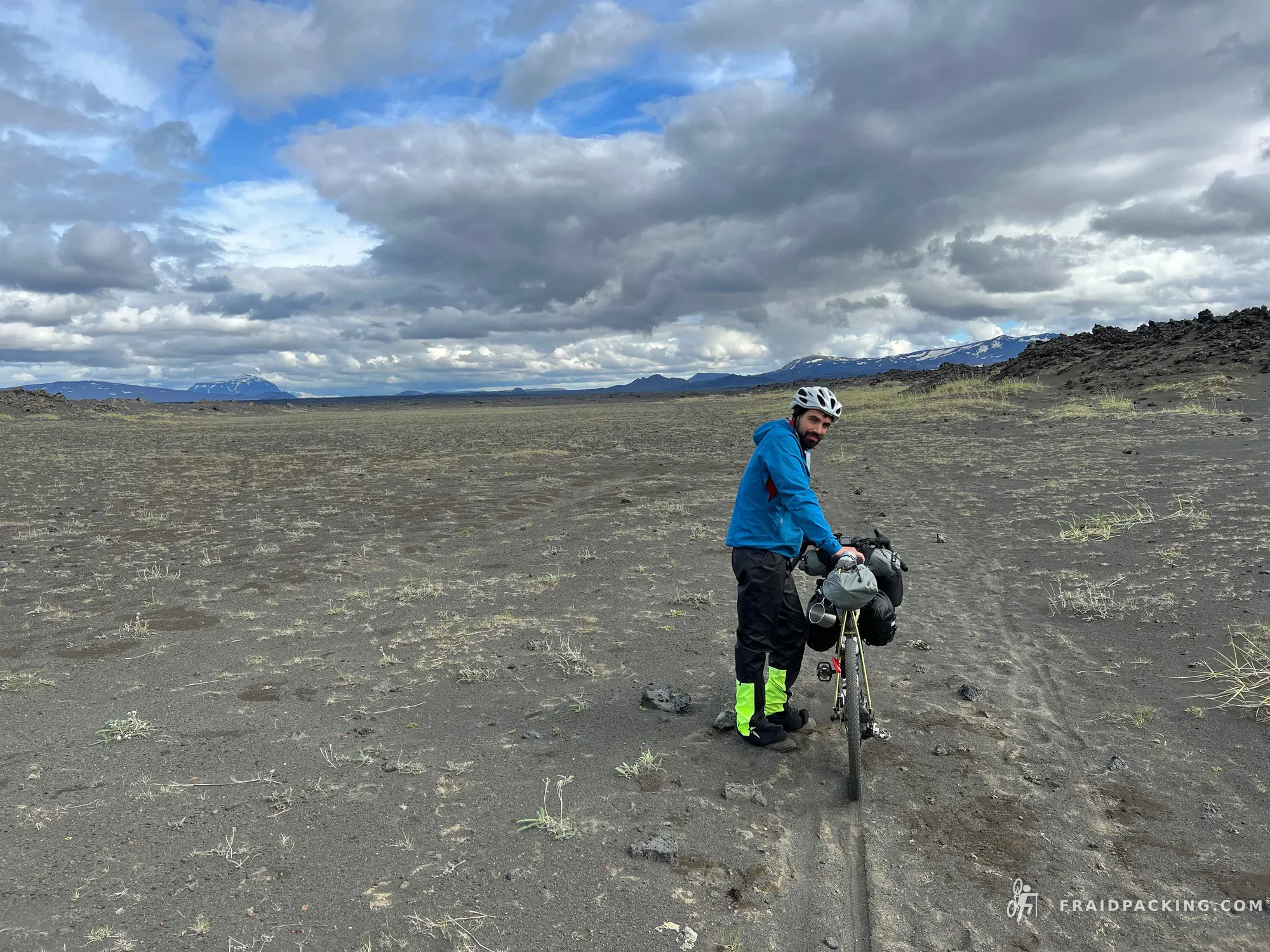
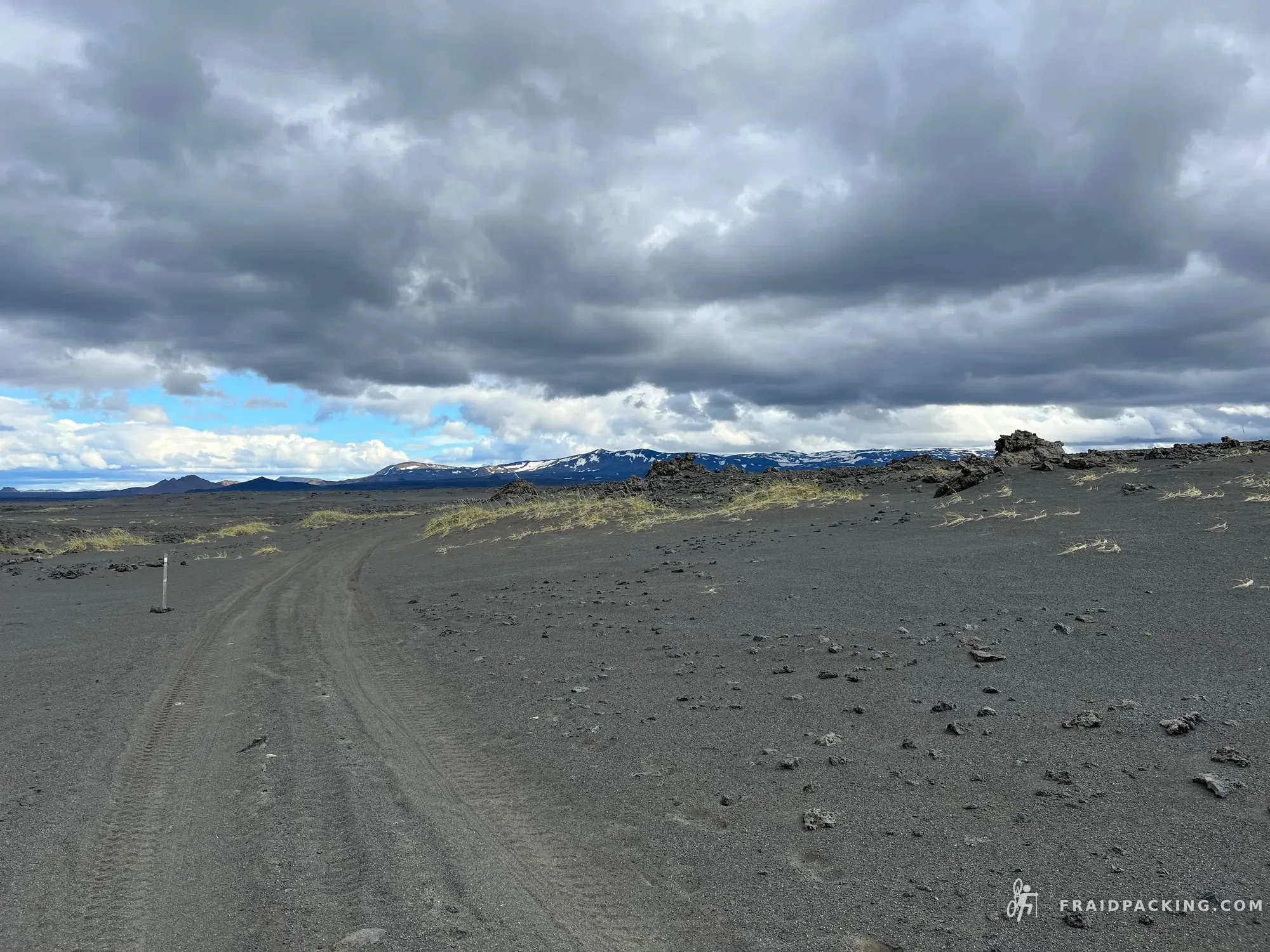
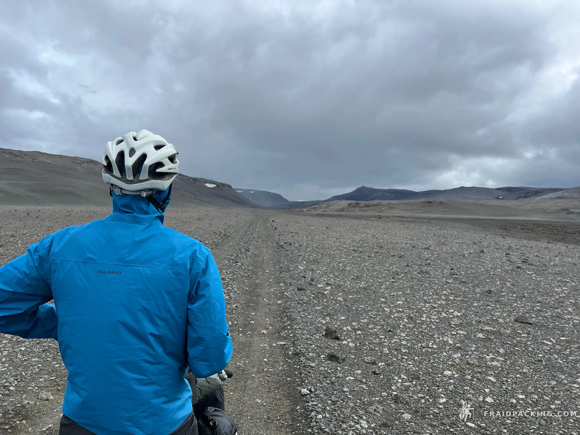
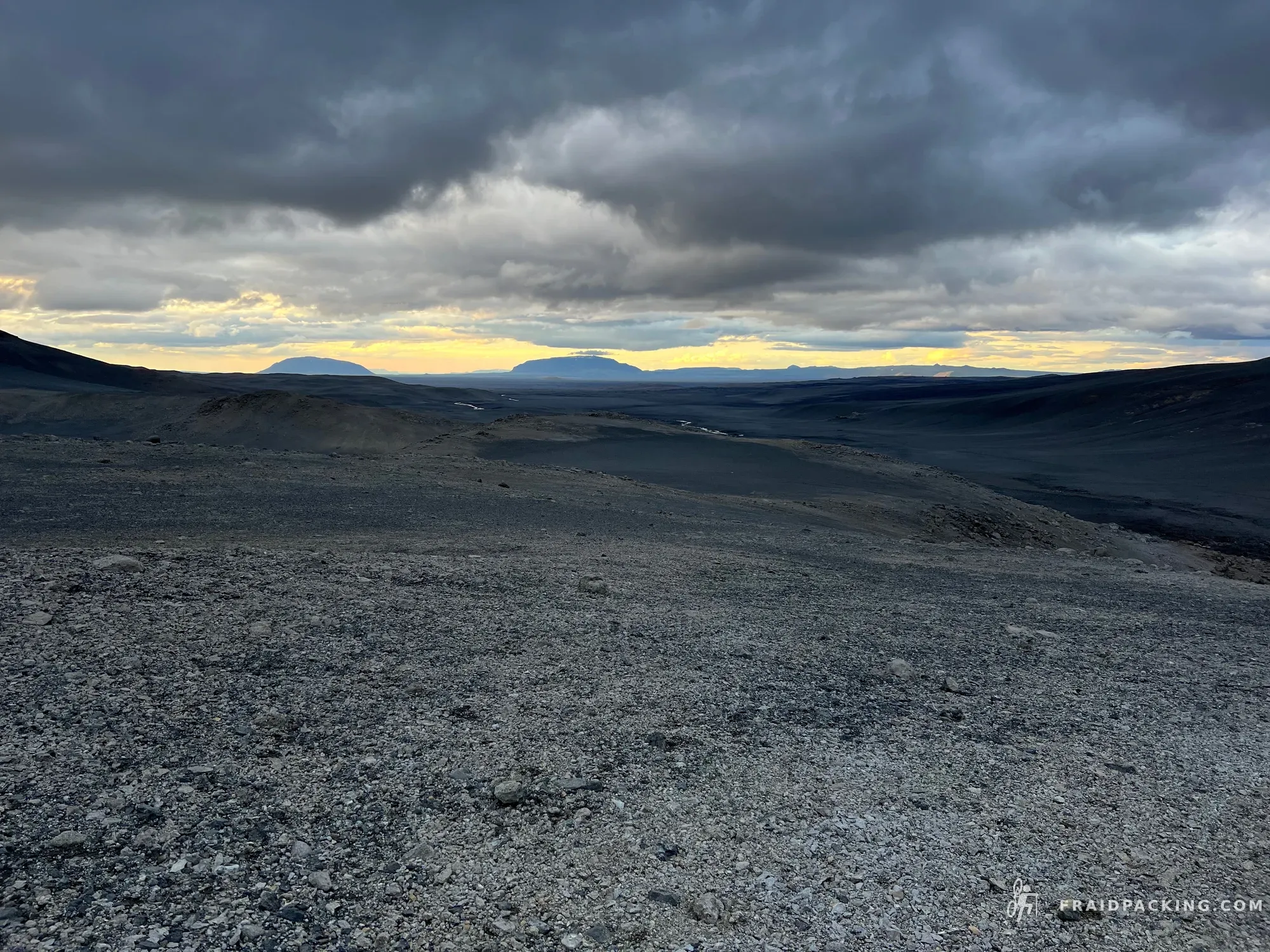
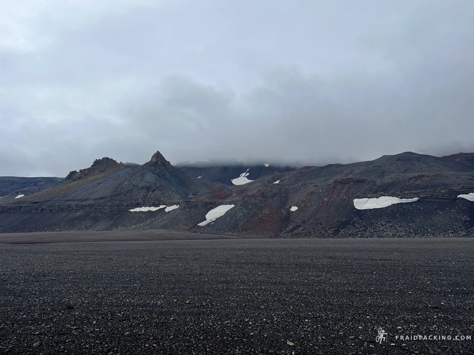
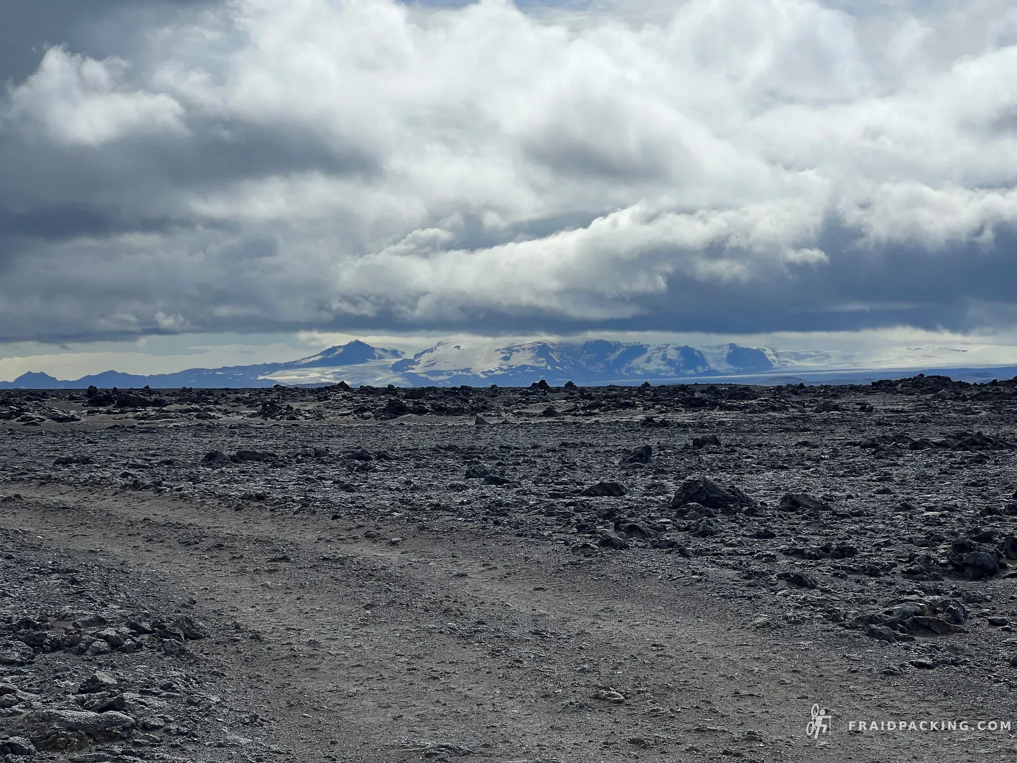
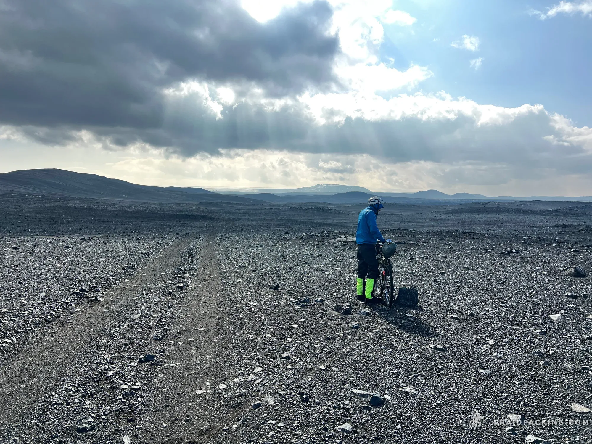
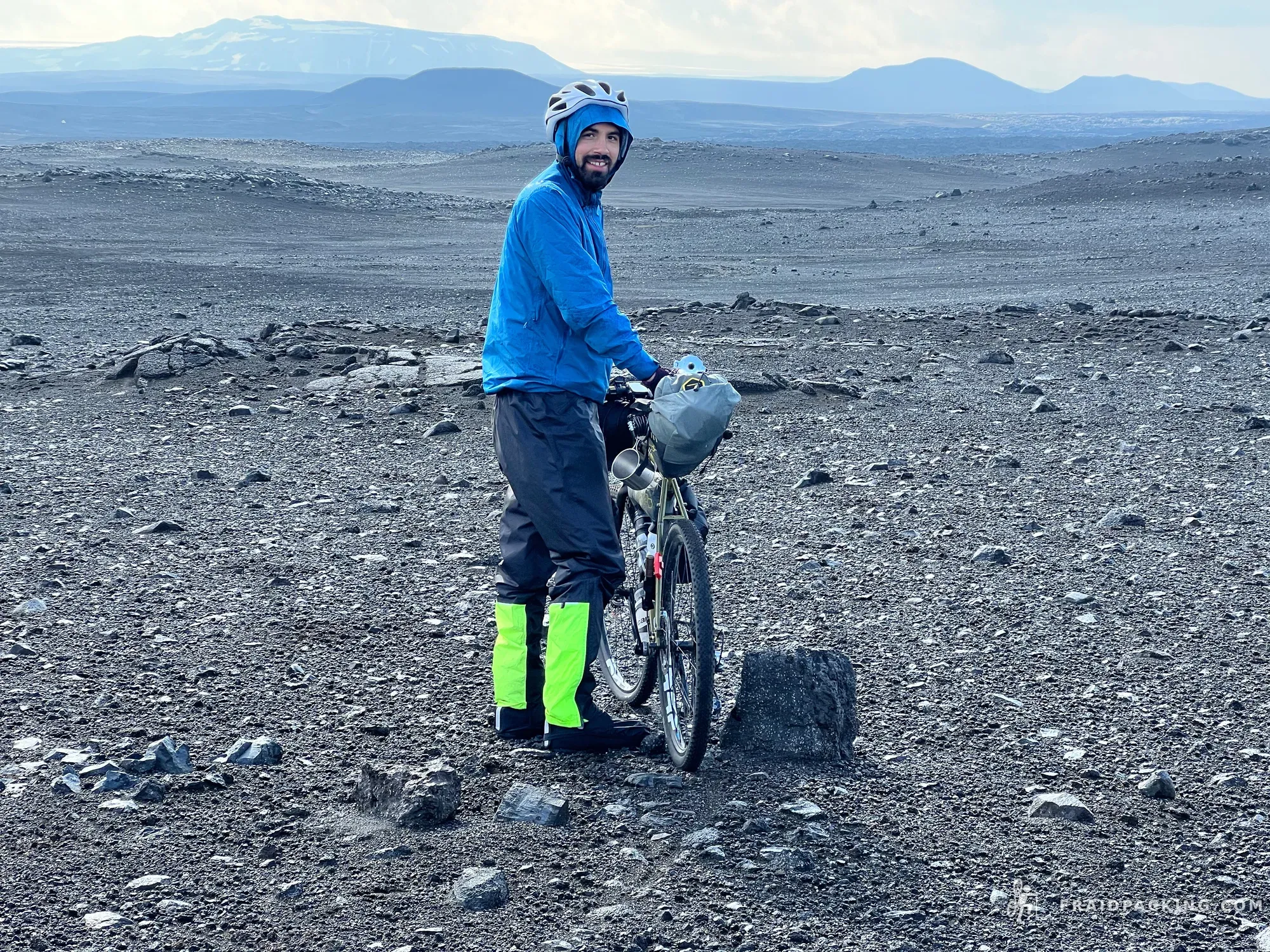
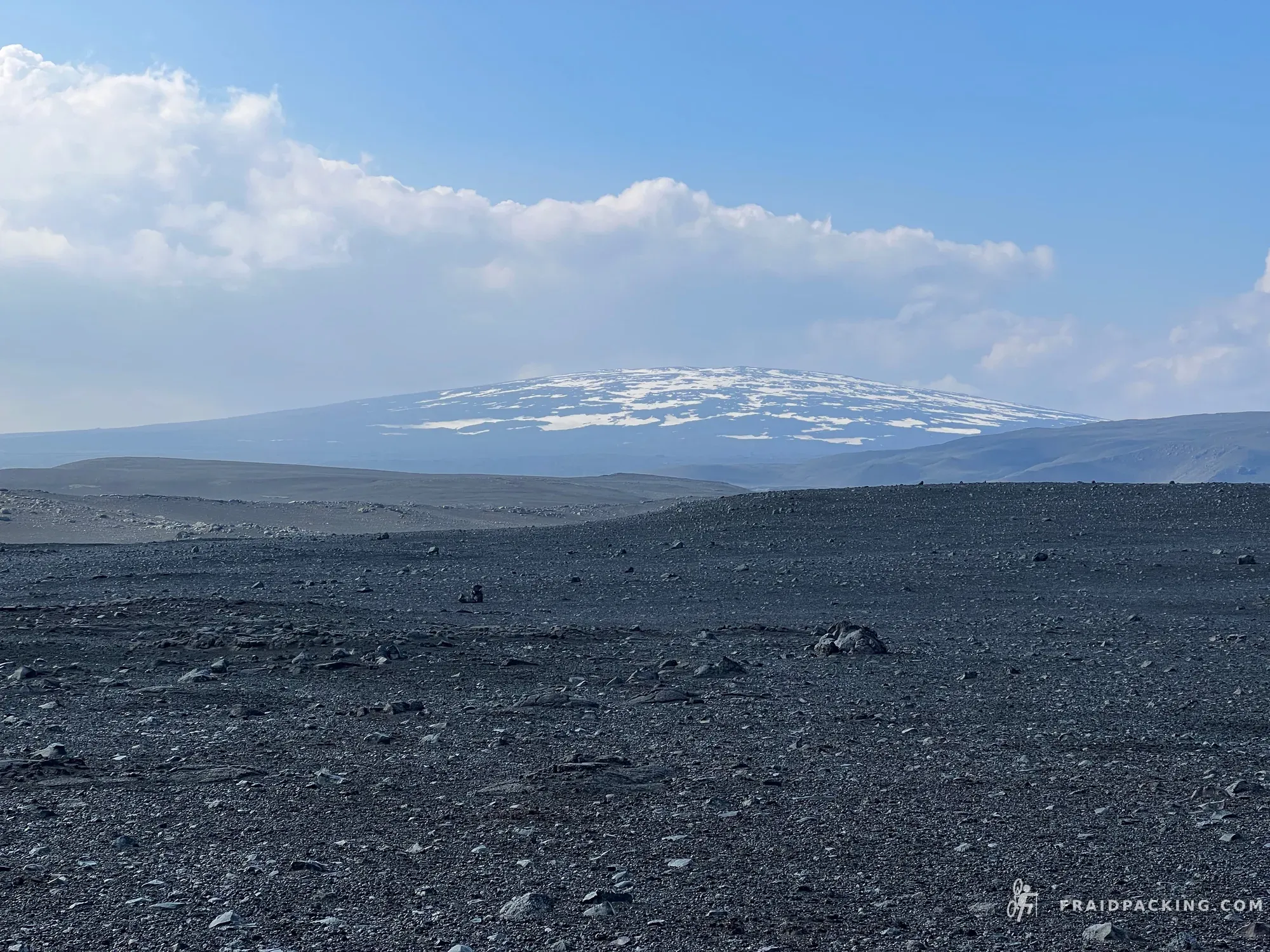
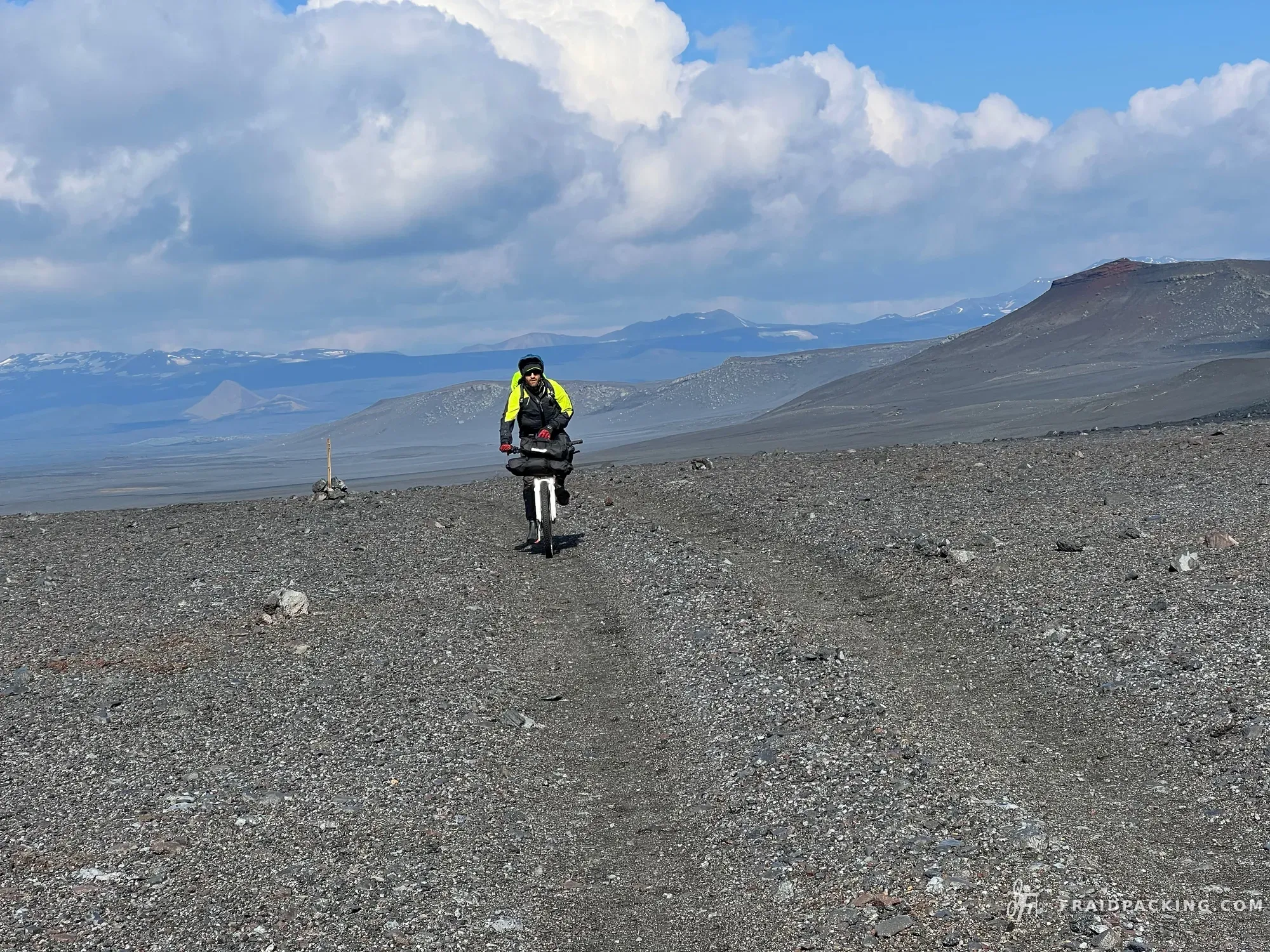
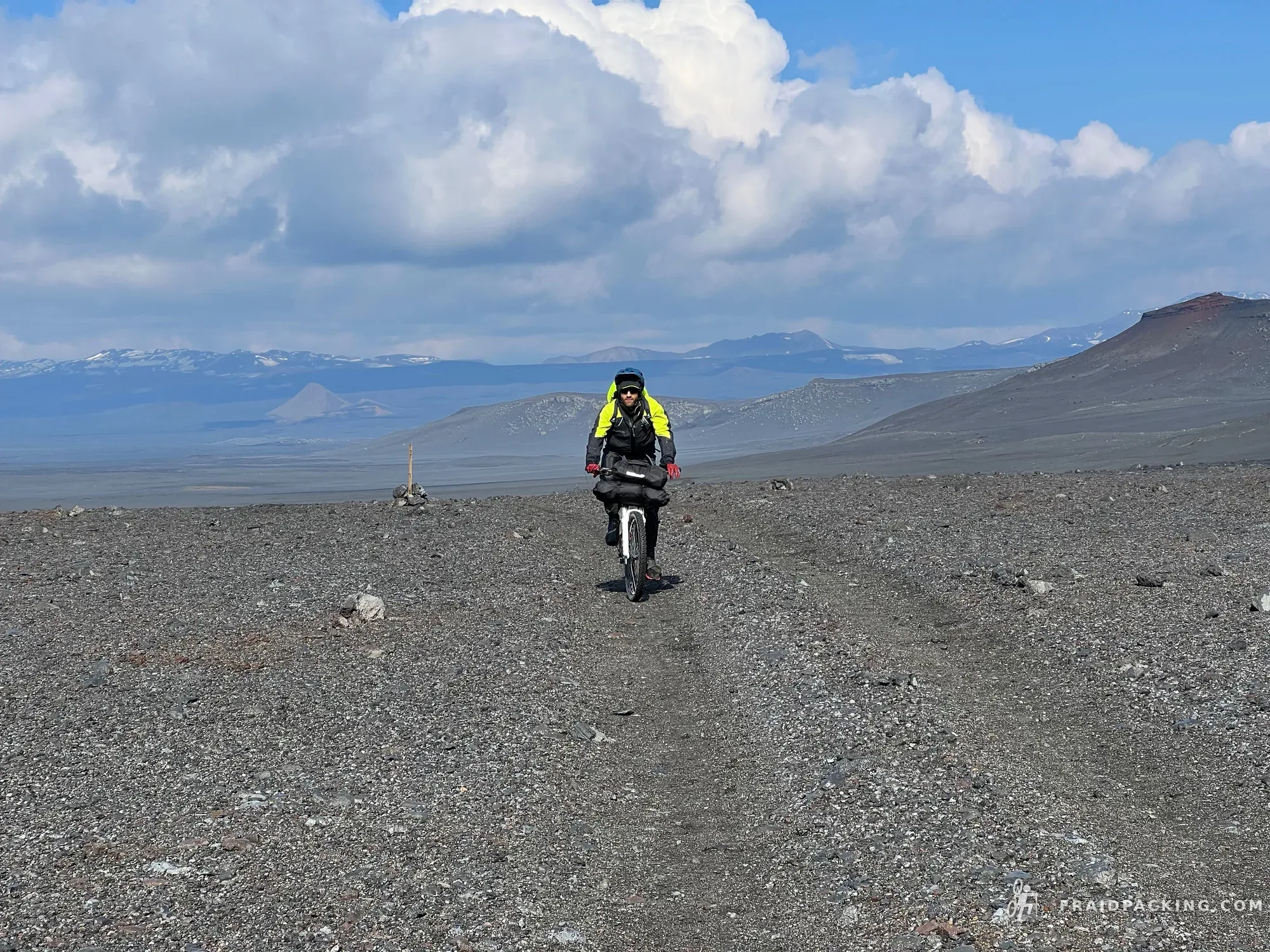
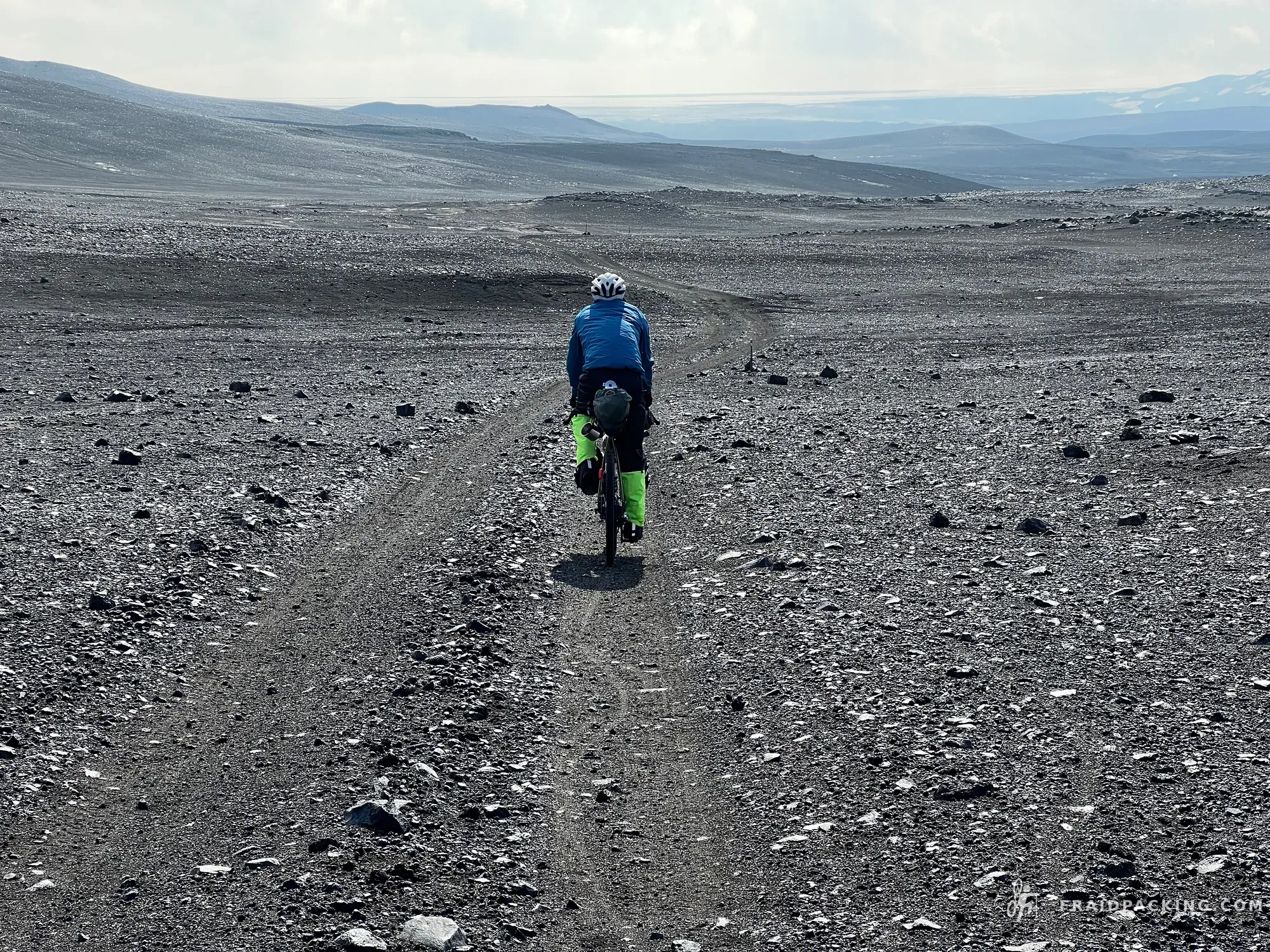
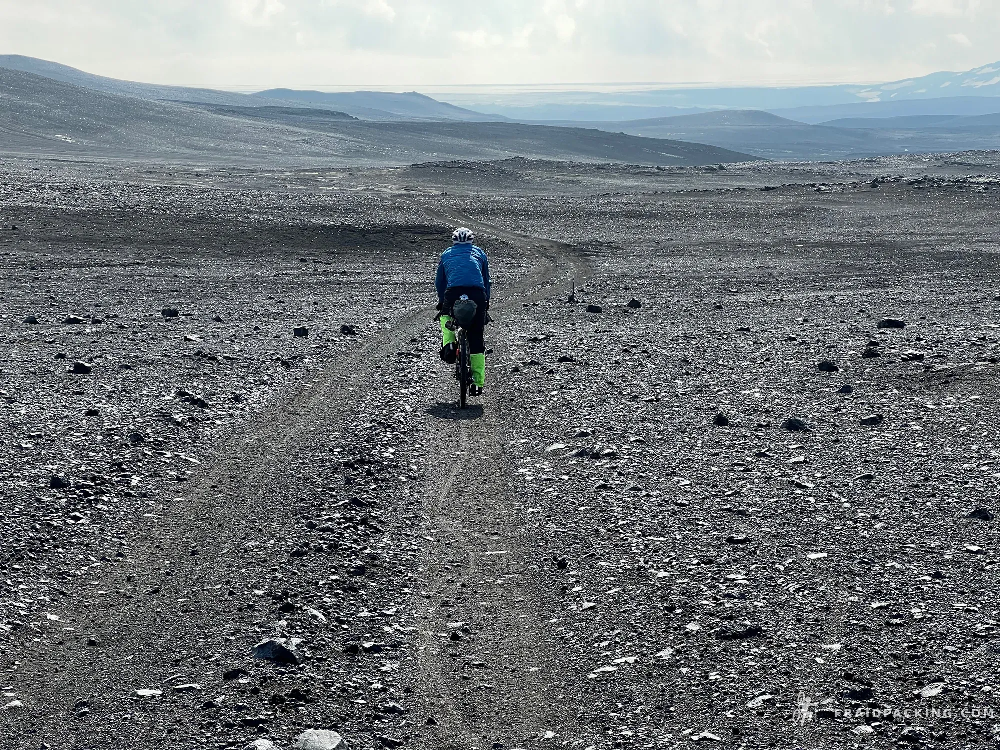
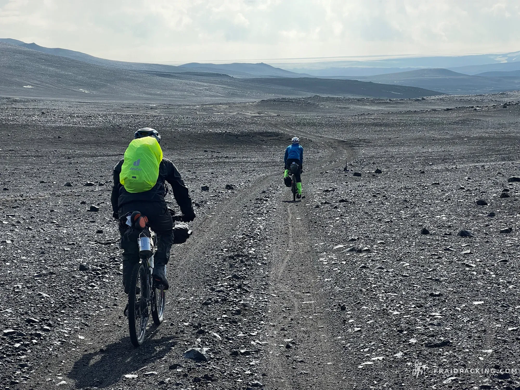
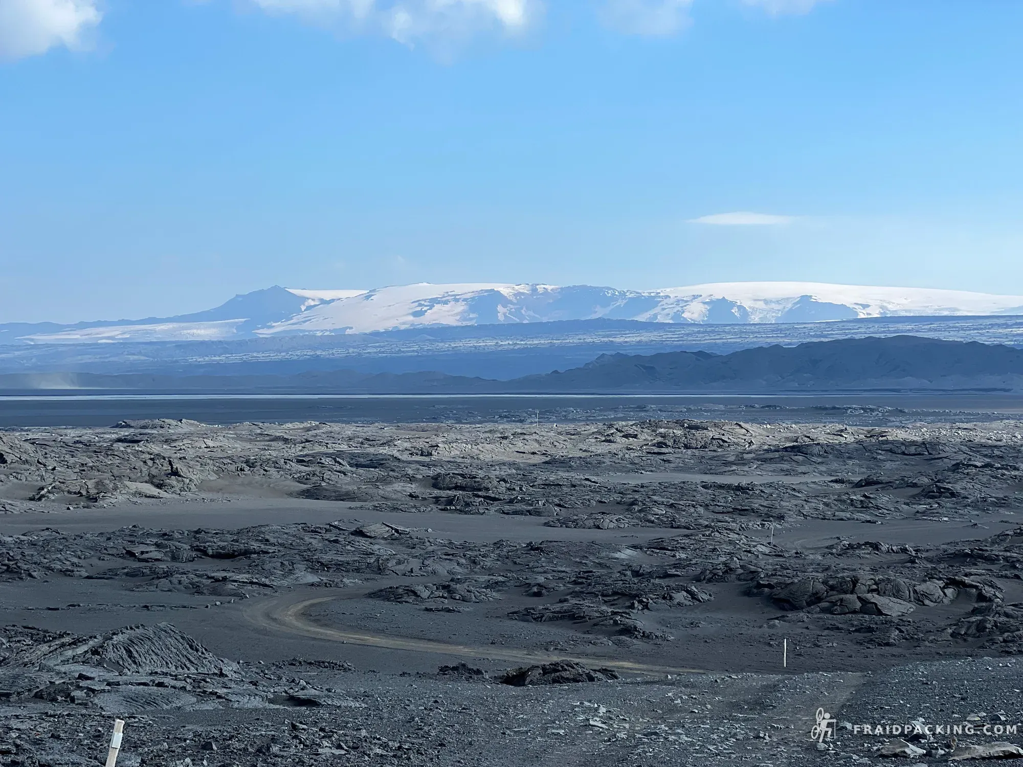
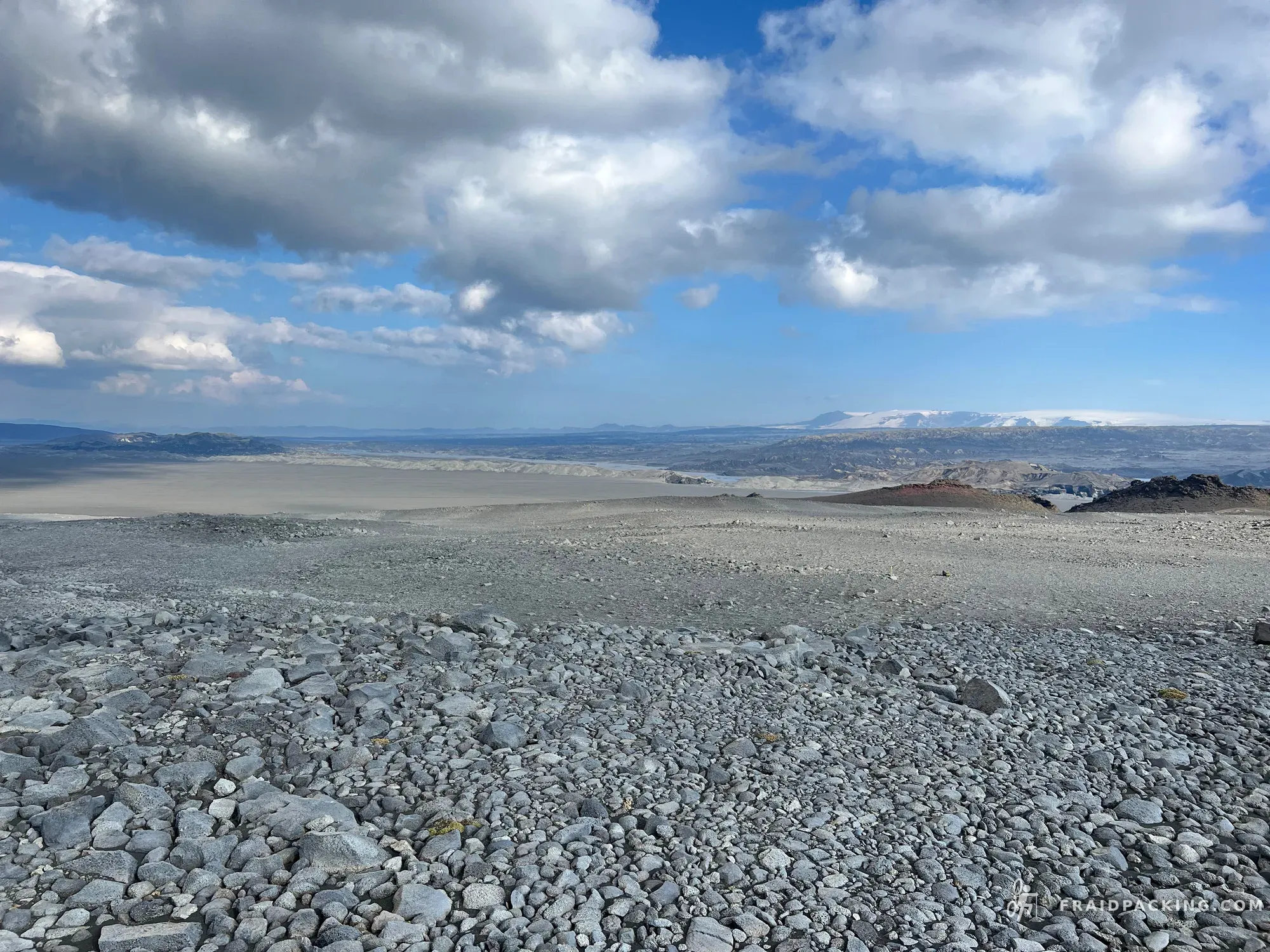
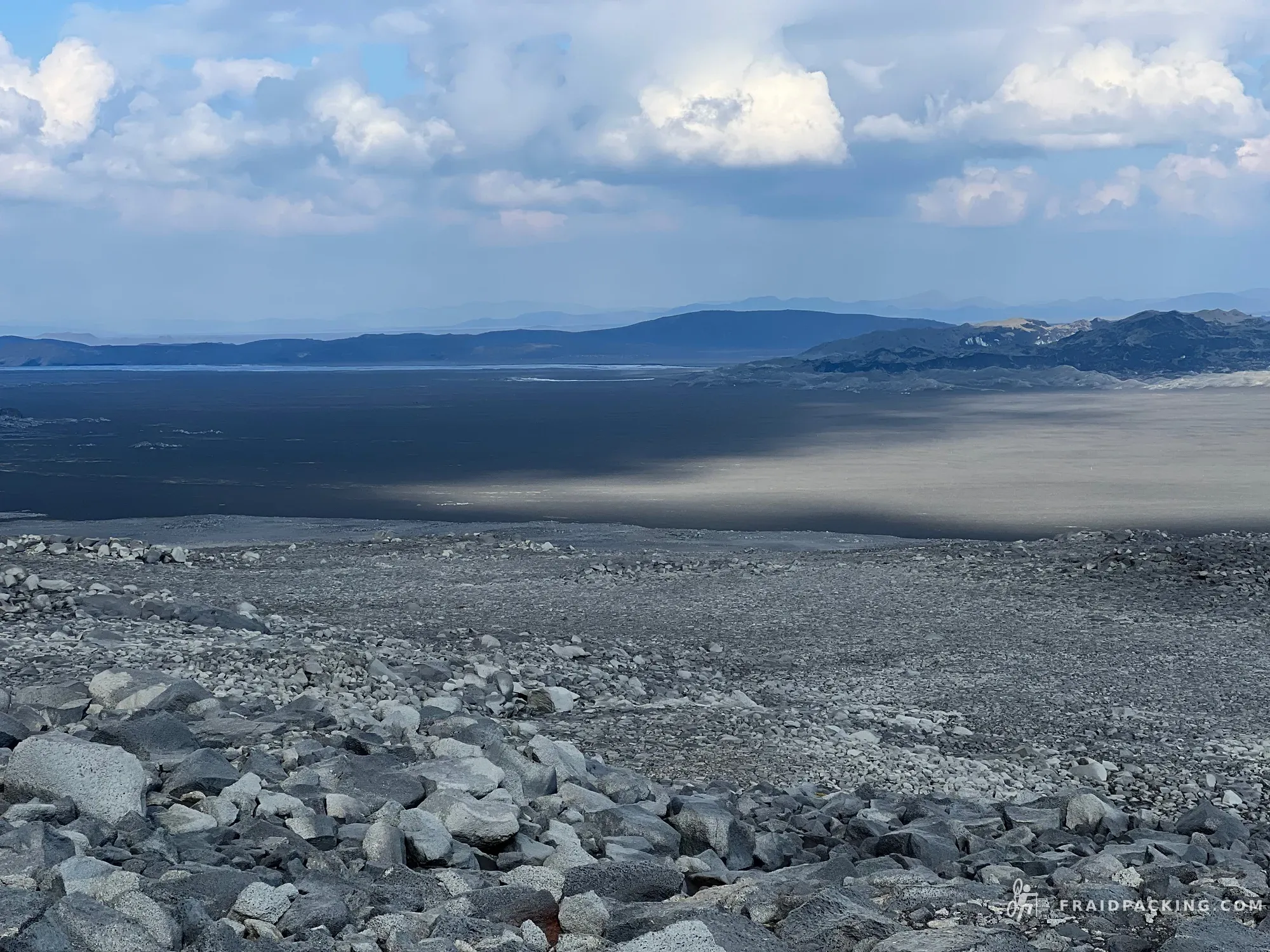
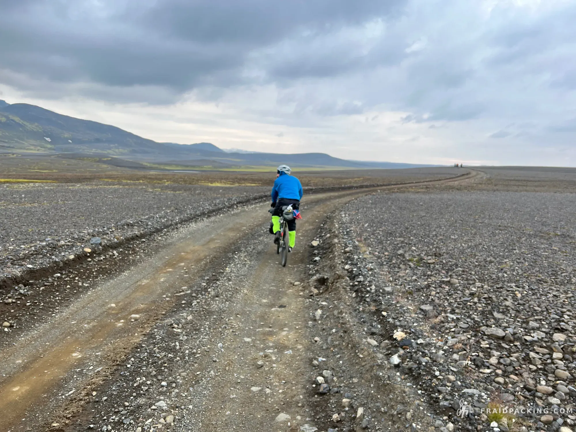
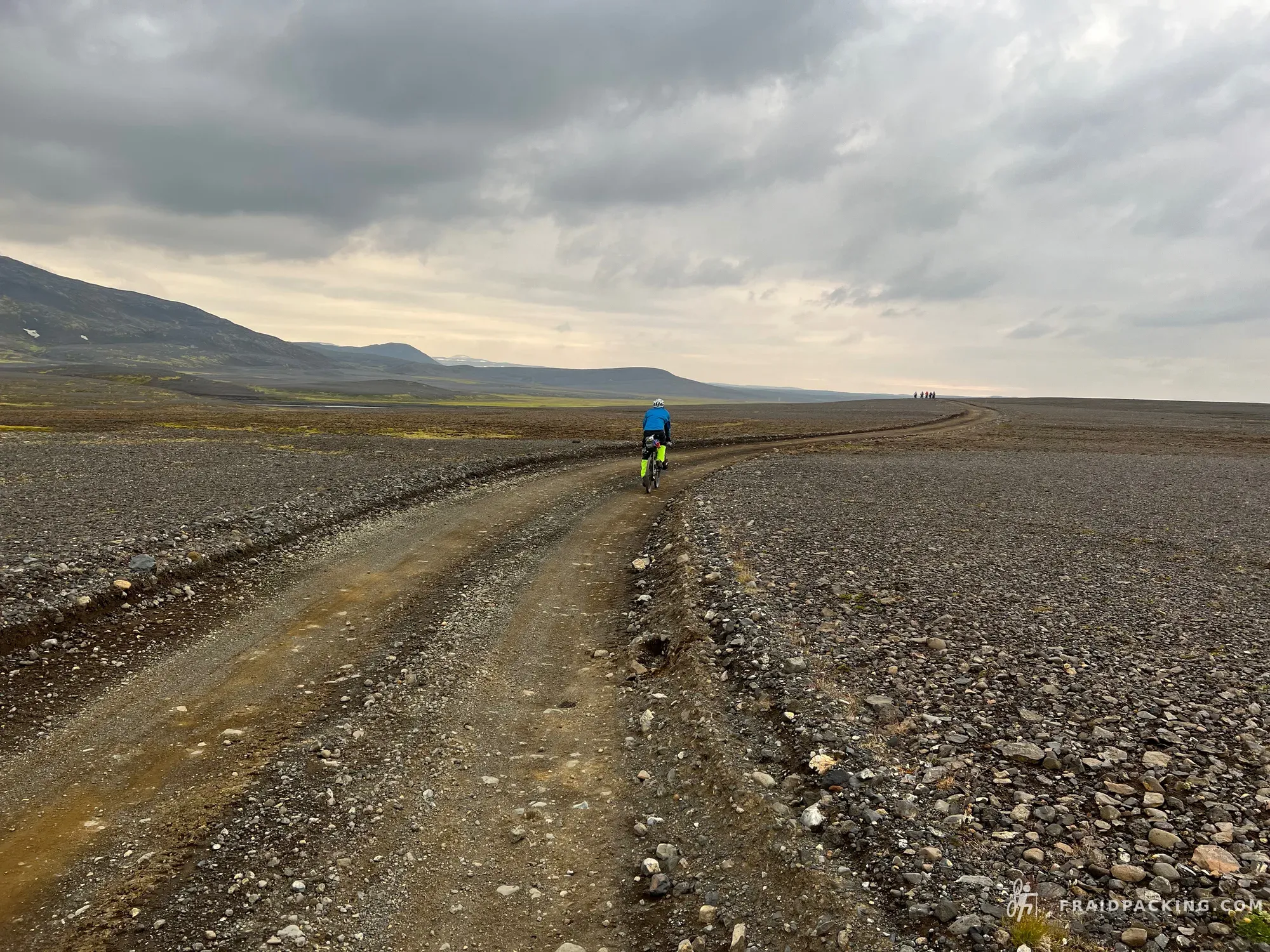
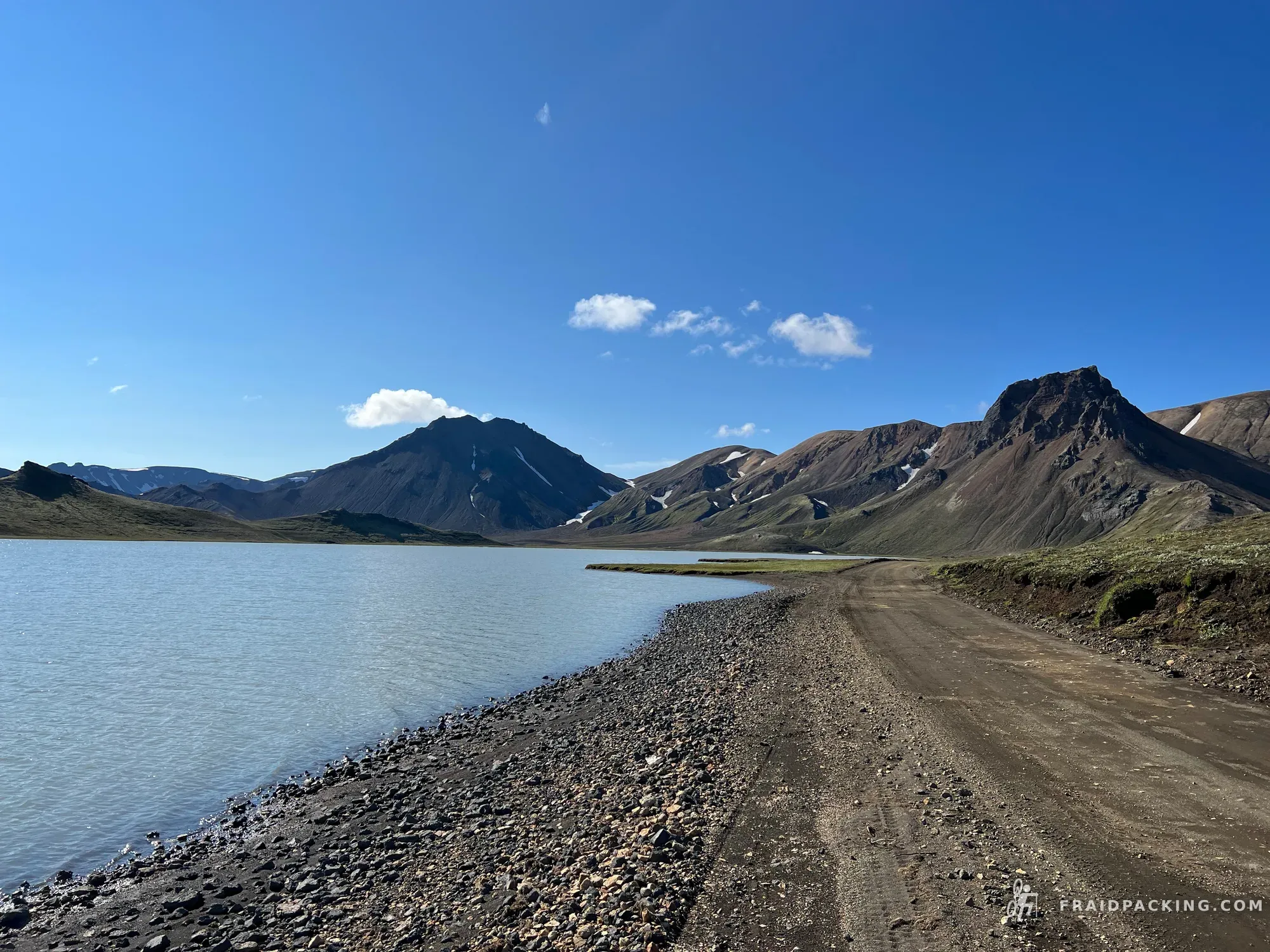
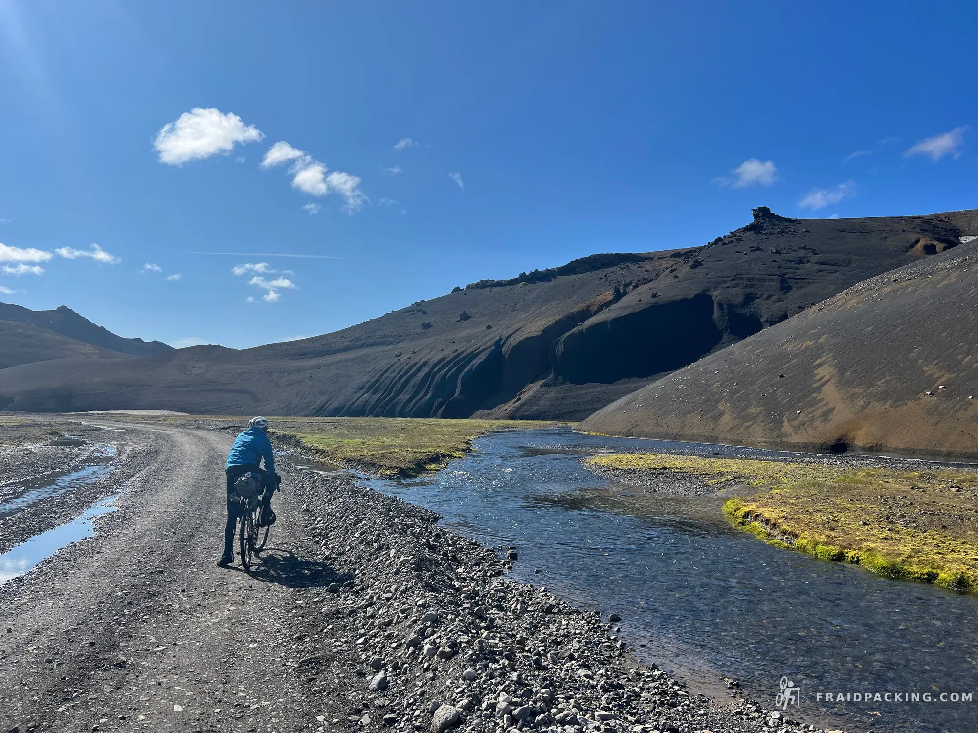
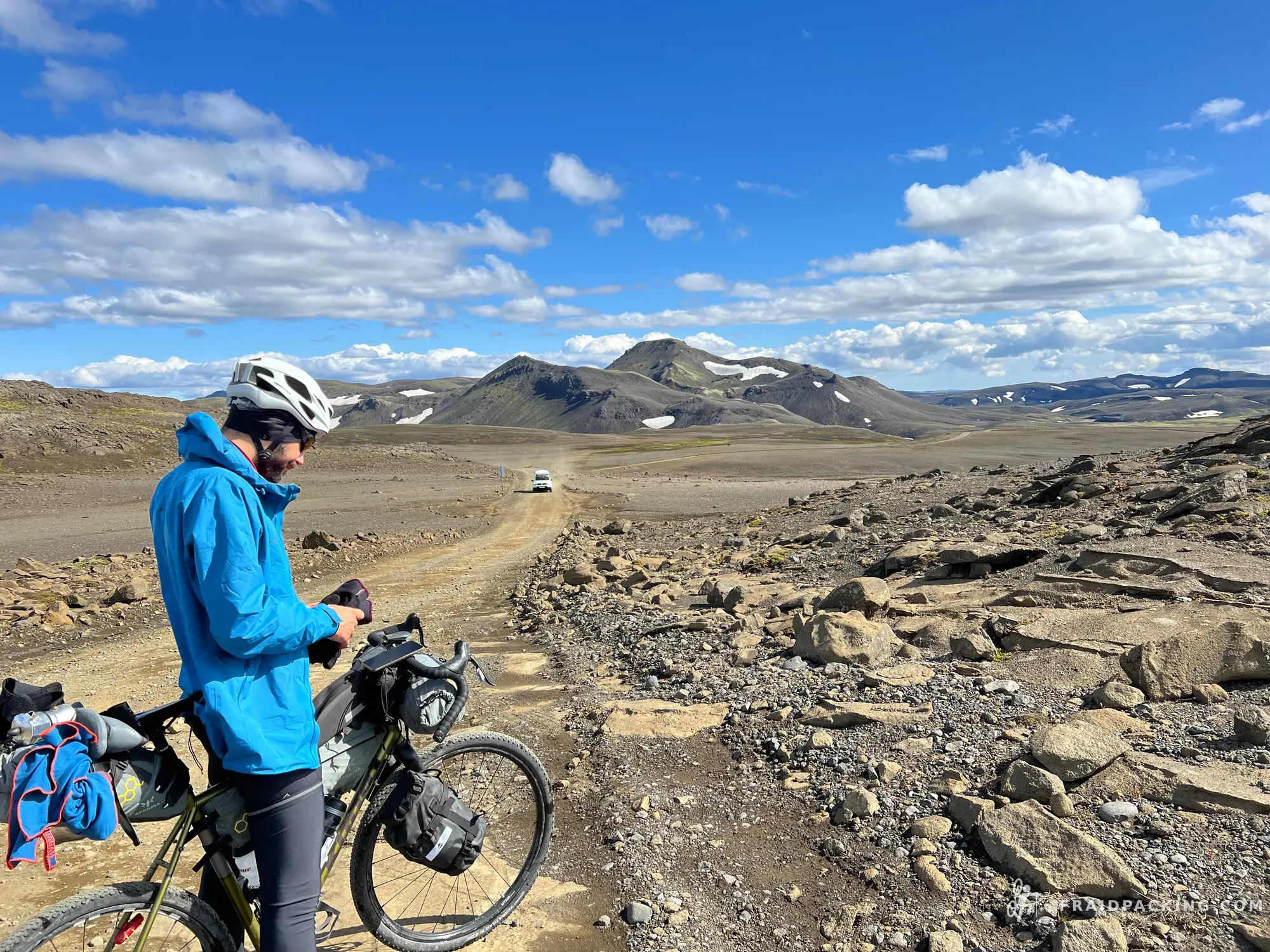
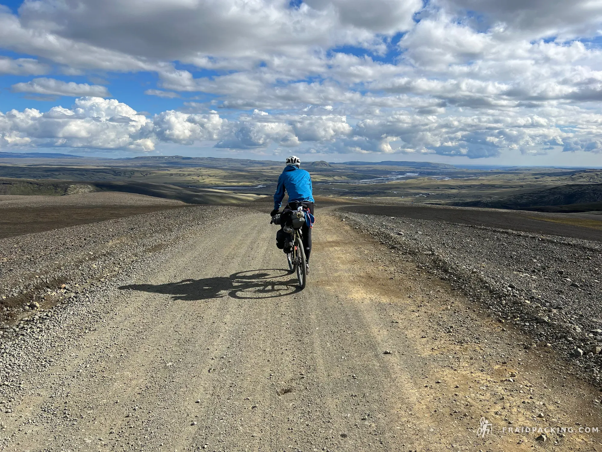
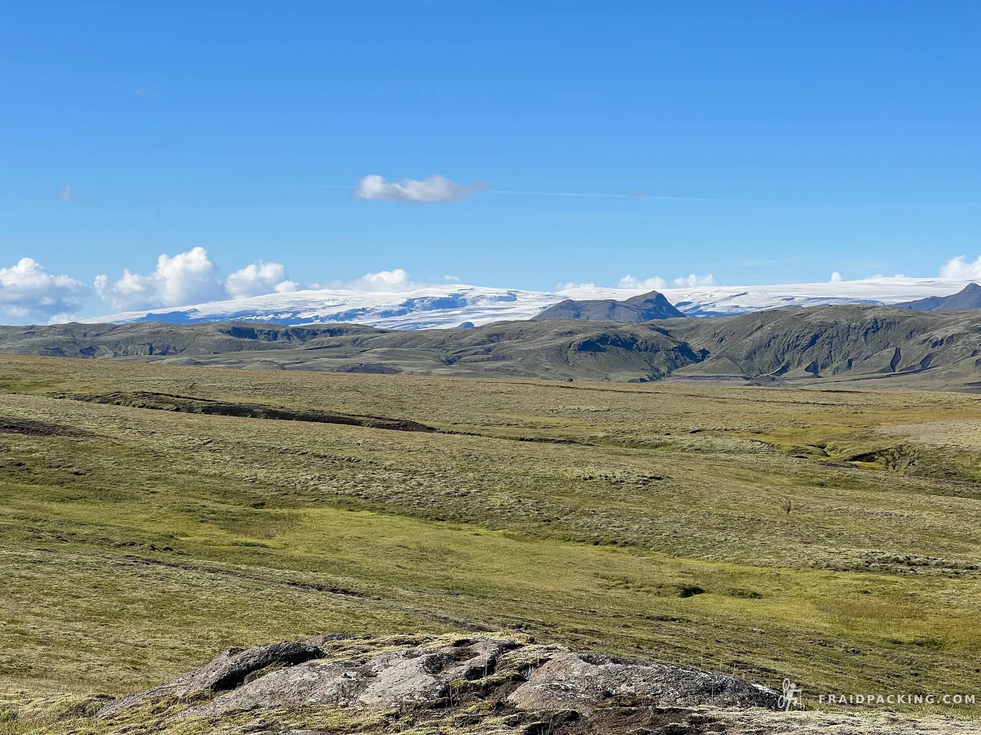
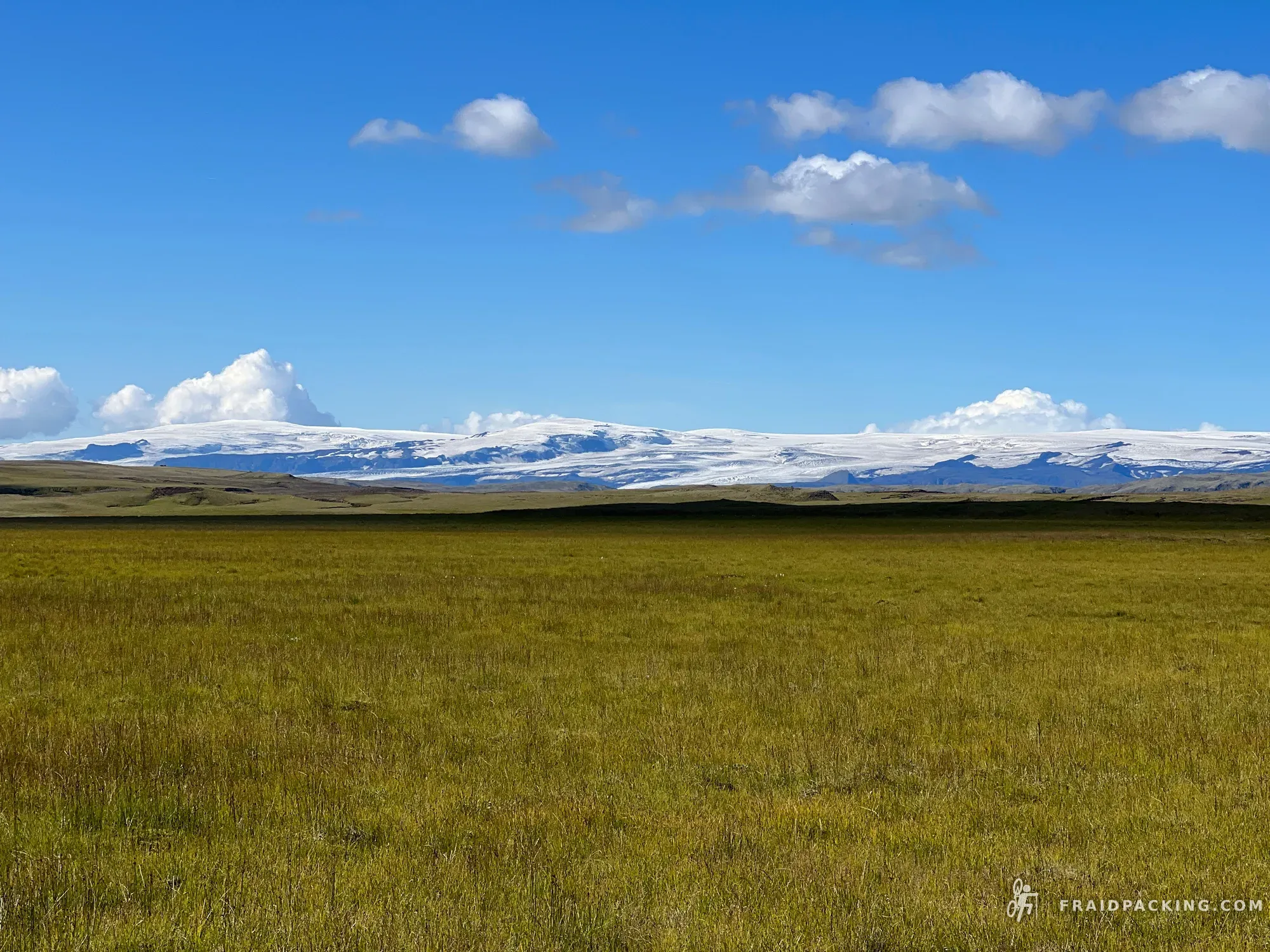
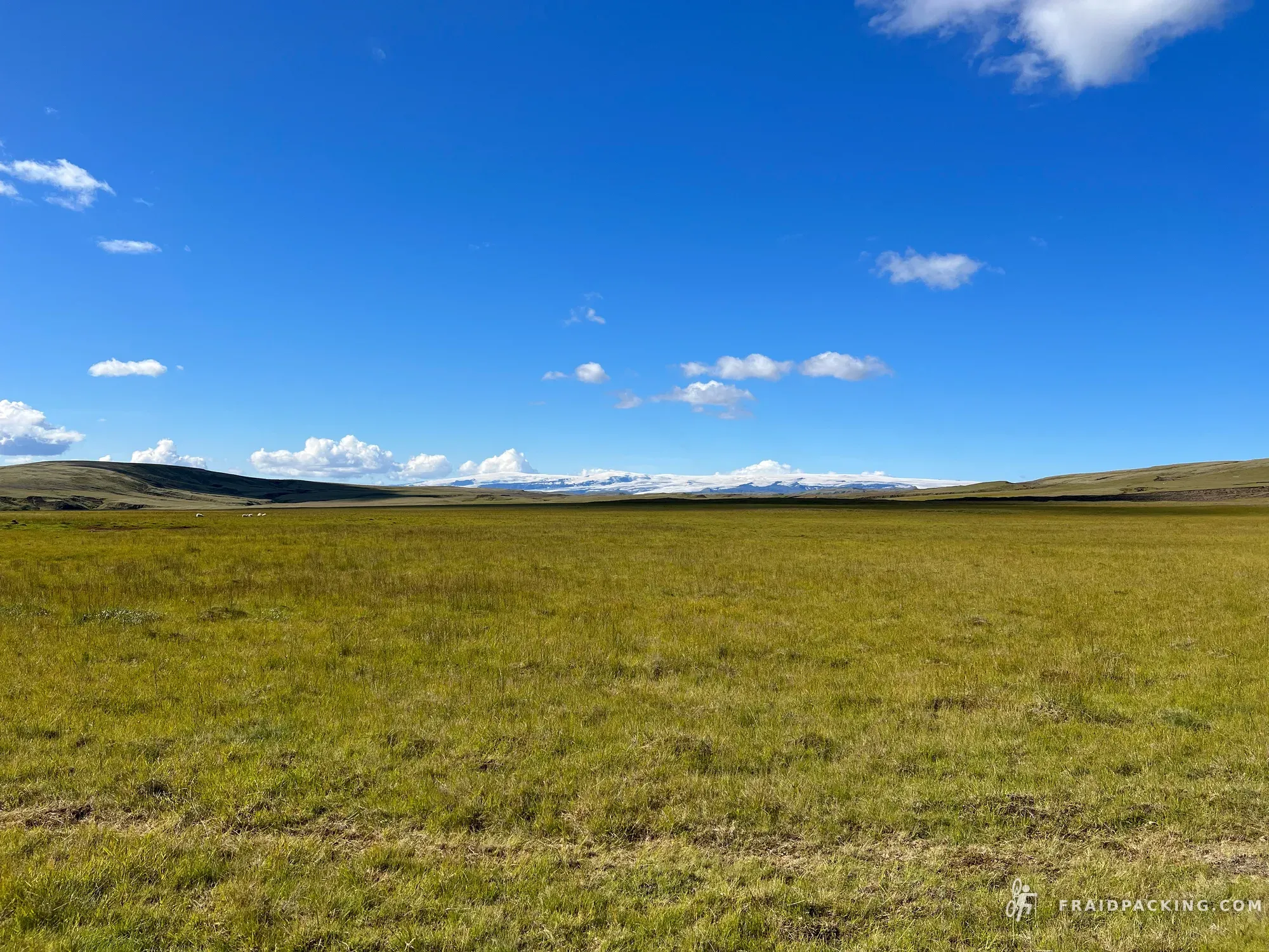
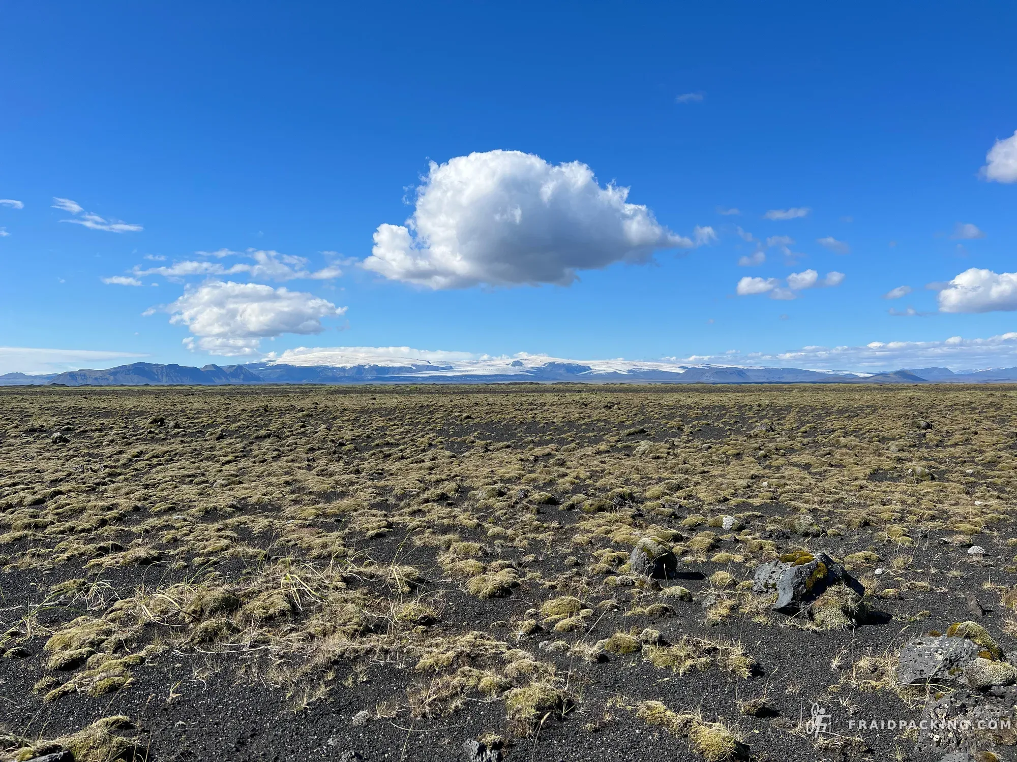
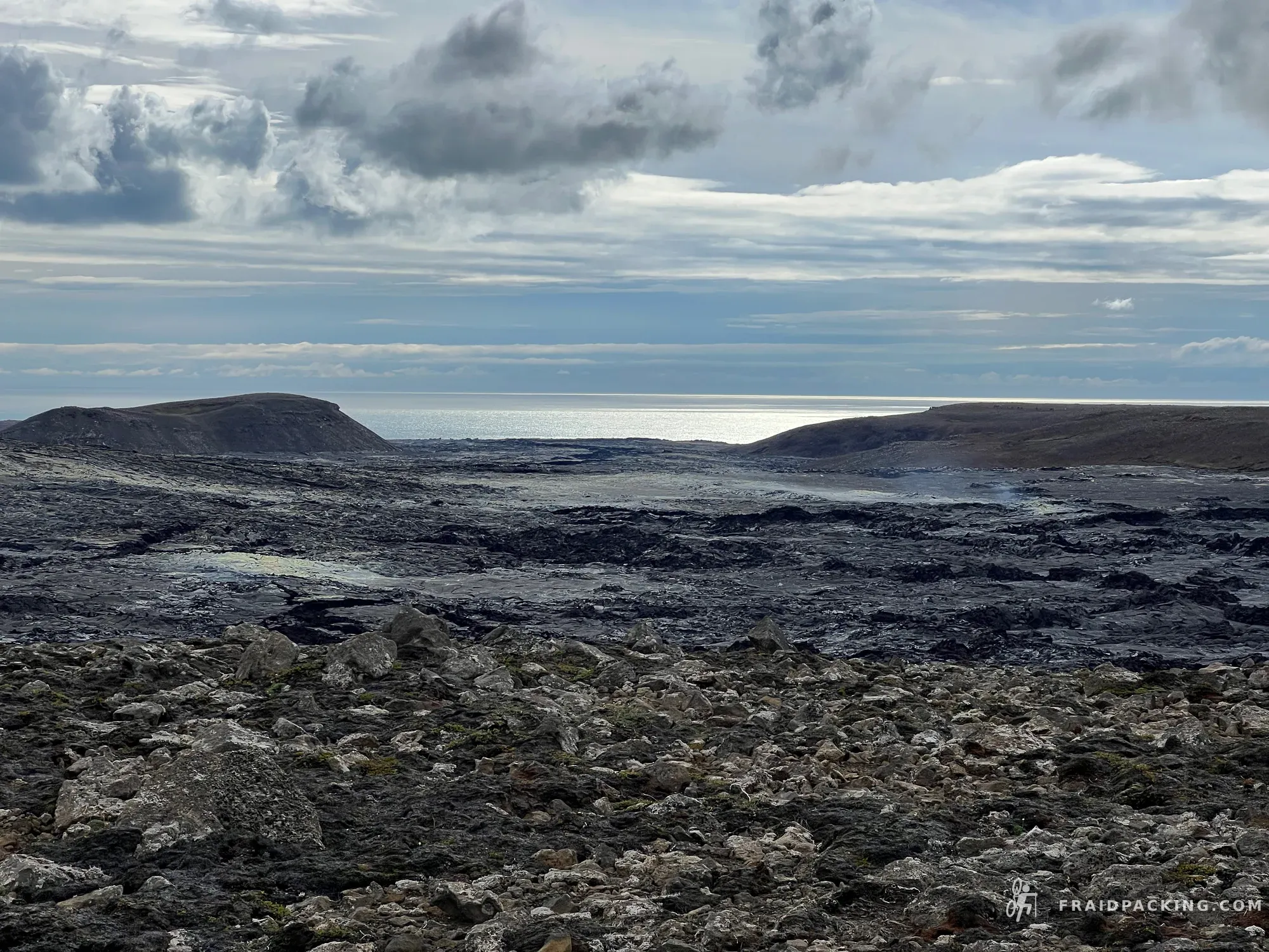
The Sprengisandur corridor cuts between Hofsjökull and Vatnajökull — two of the largest ice caps in Europe — across a vast black sand desert. Wind comes from nowhere and everywhere at once. The GPS track is the only navigation reference for hours at a time. Nýidalur hut, wedged between the glaciers at 800 metres, is the most remote place I have ever slept.
- 5
Nýidalur - Landmannalaugar
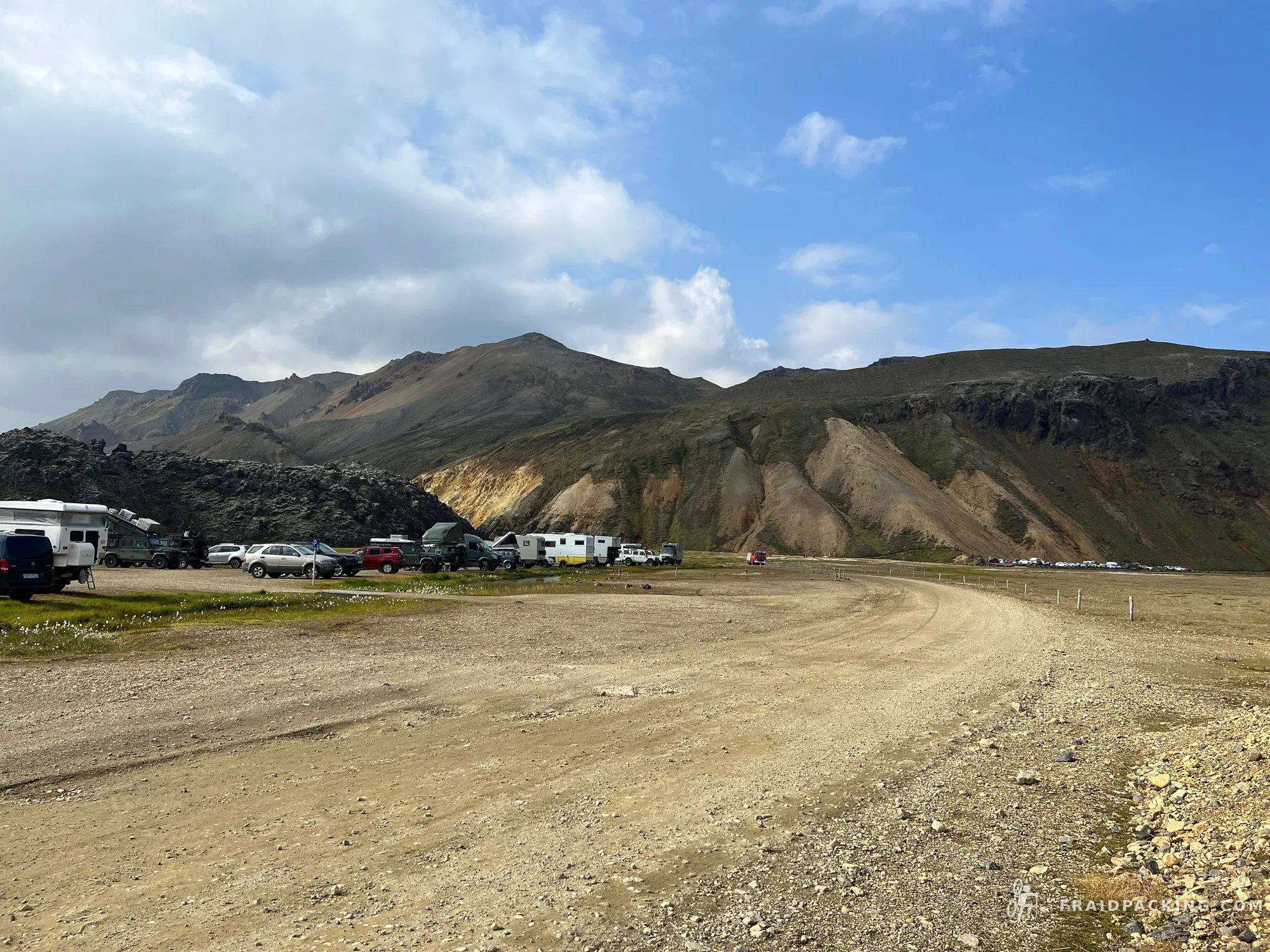
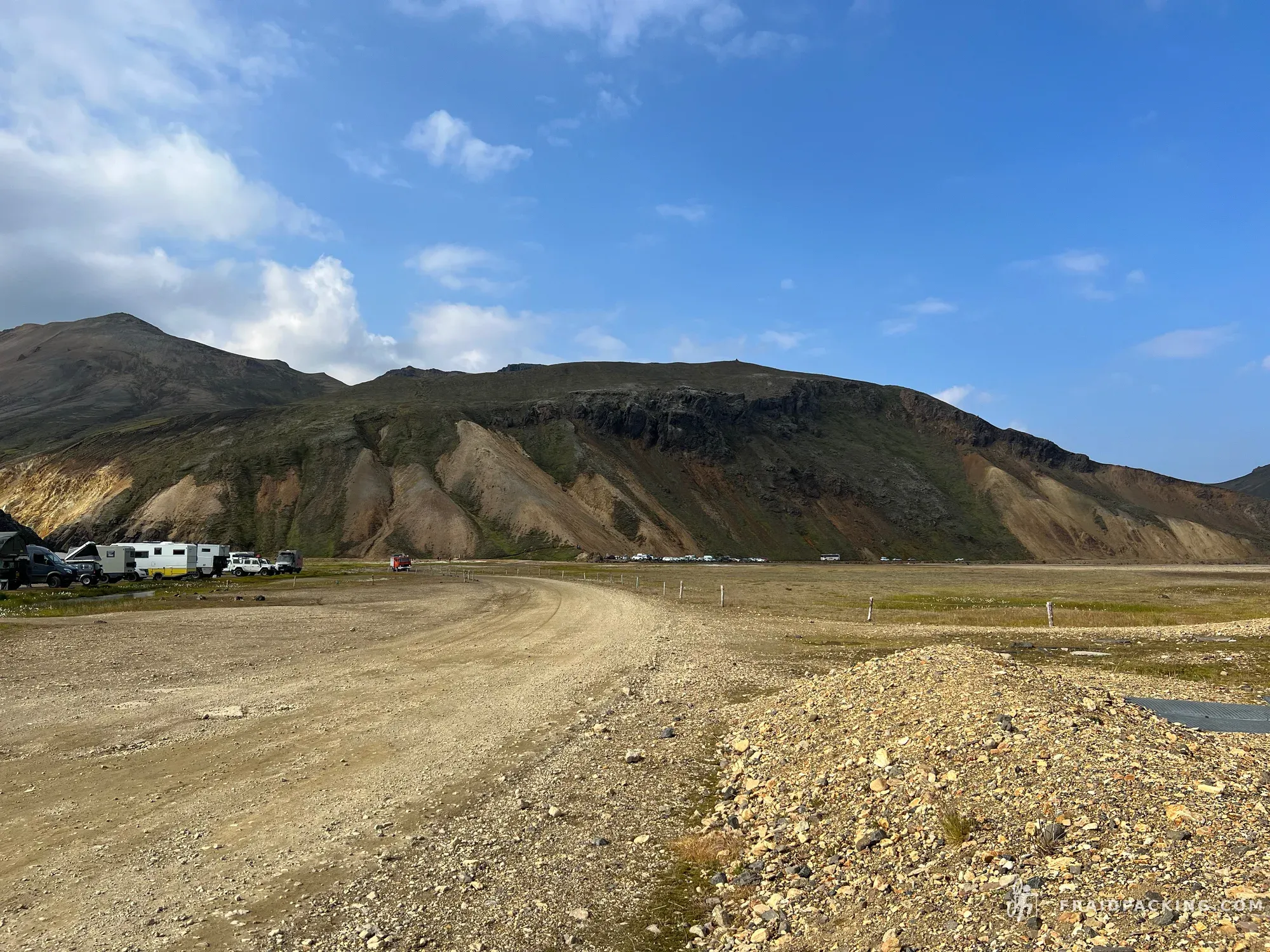
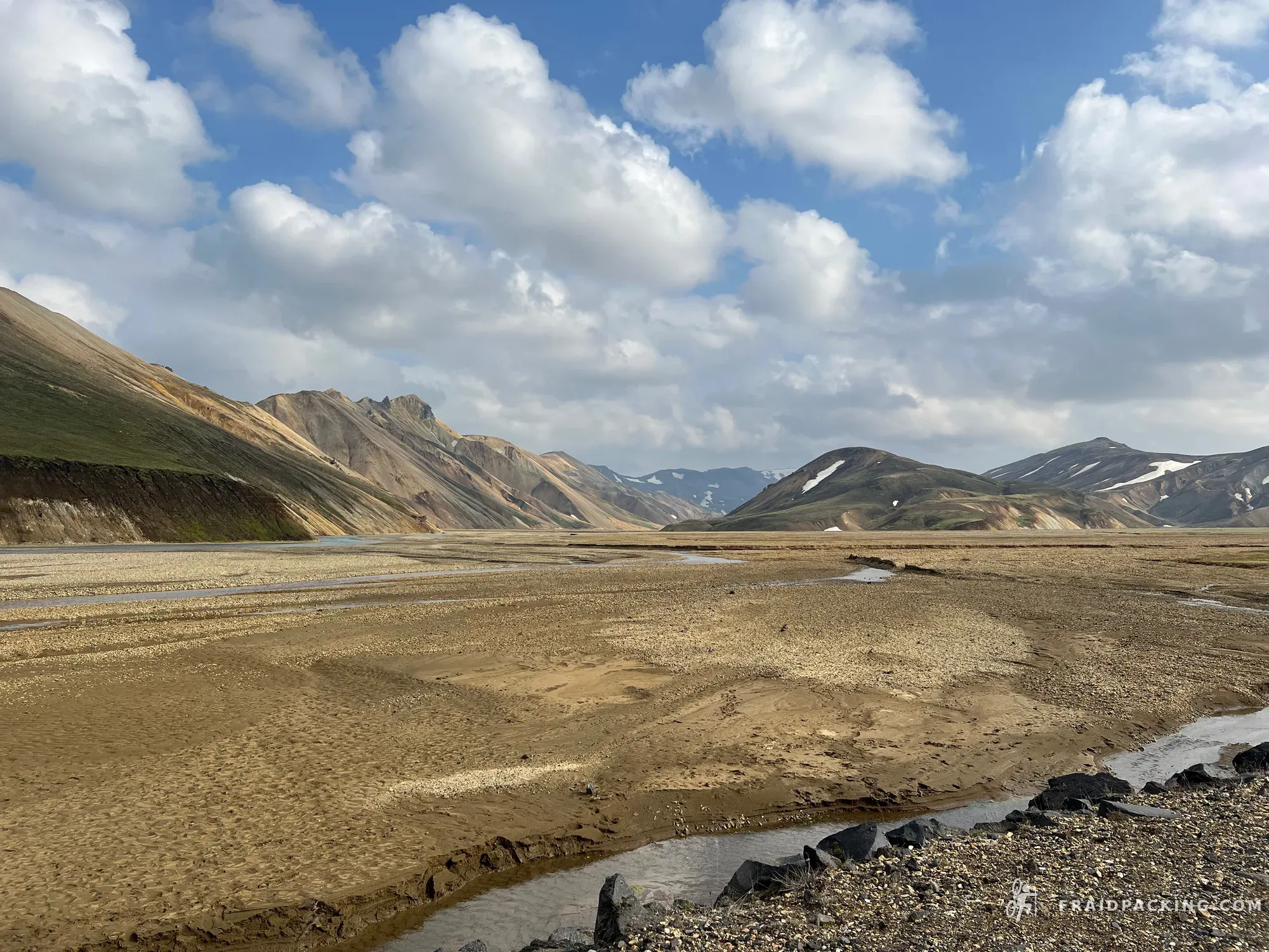
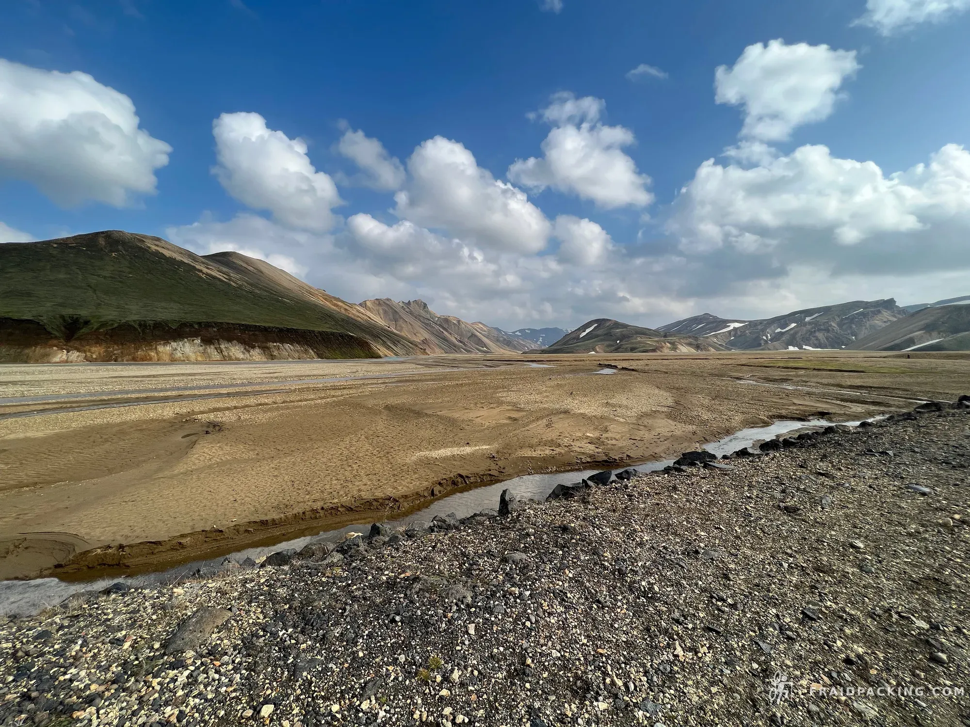
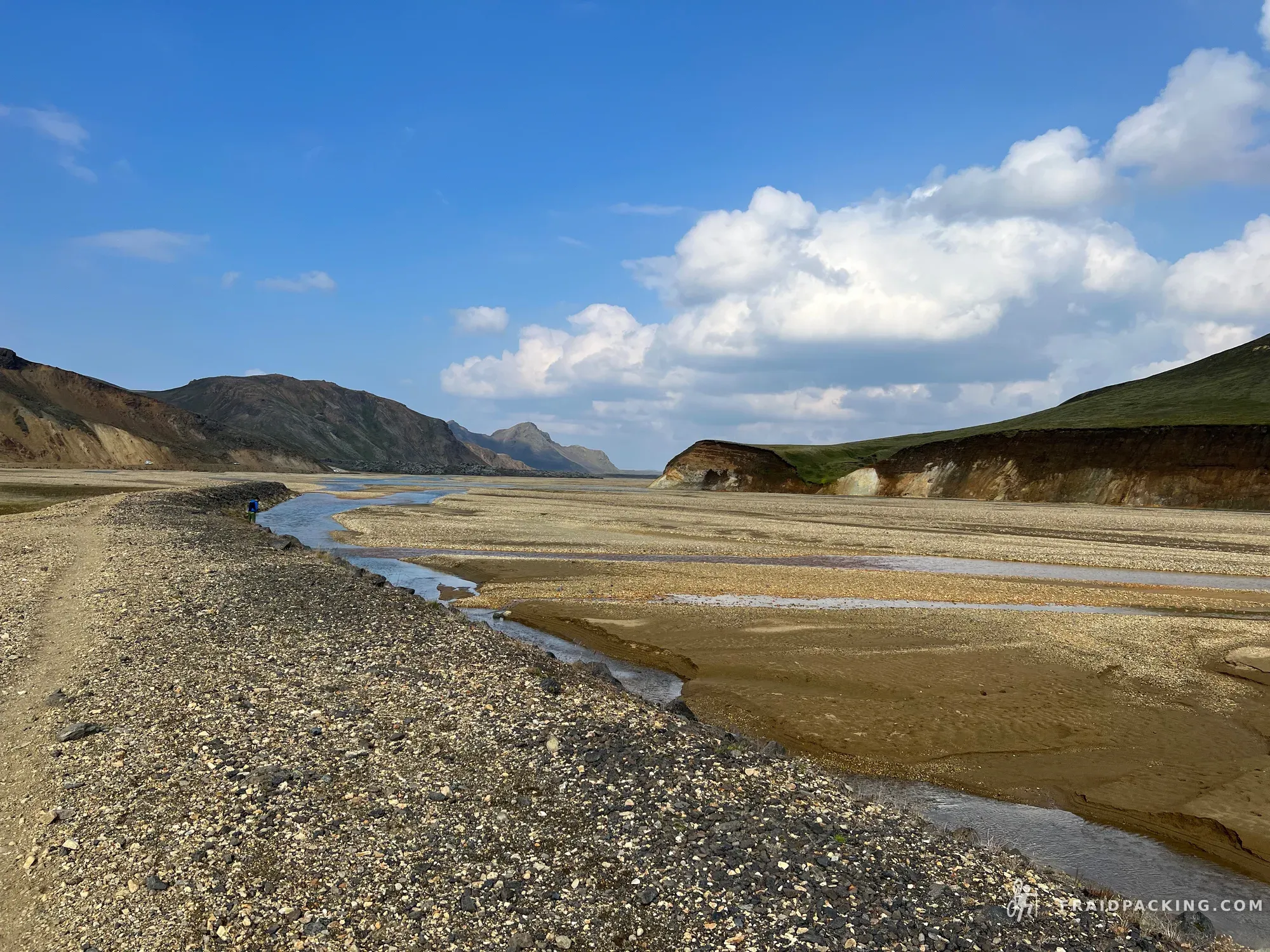
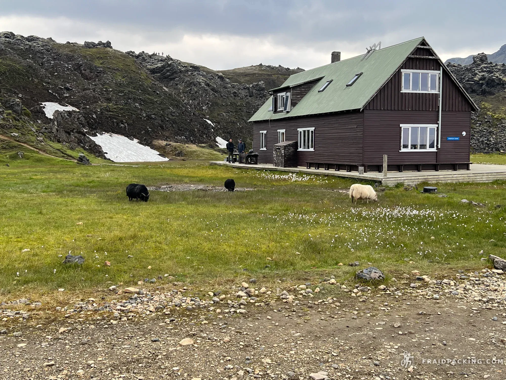
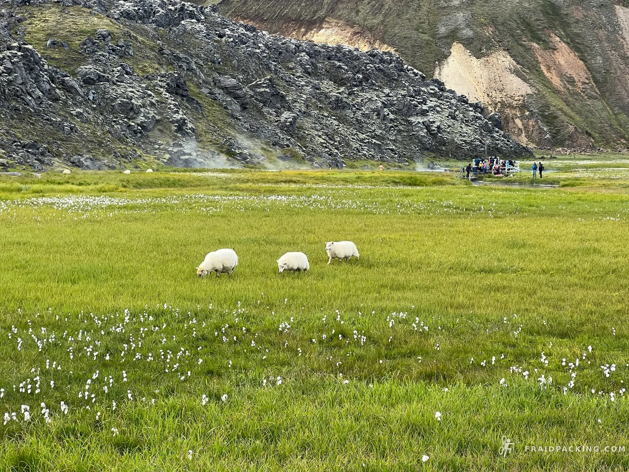
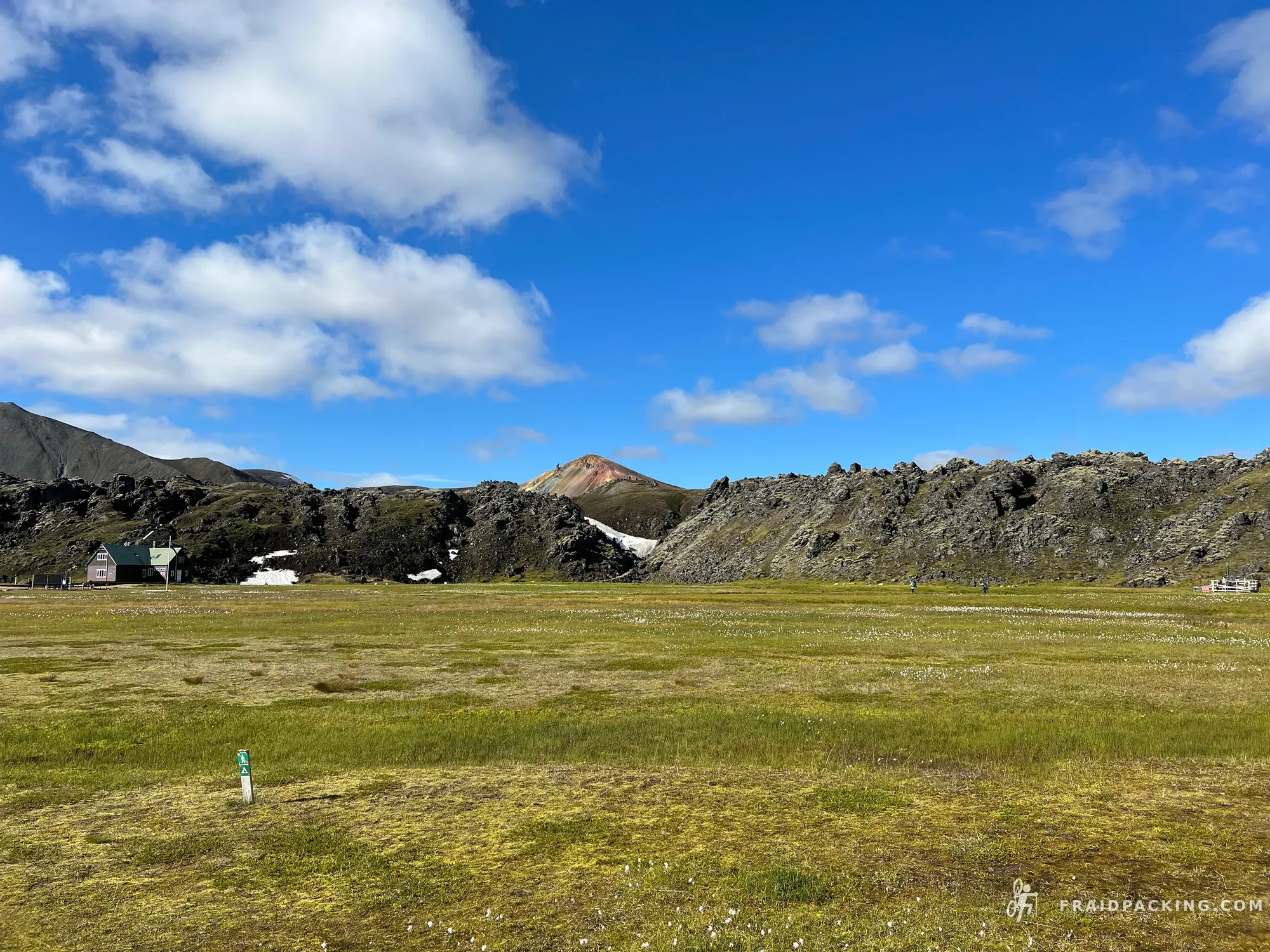
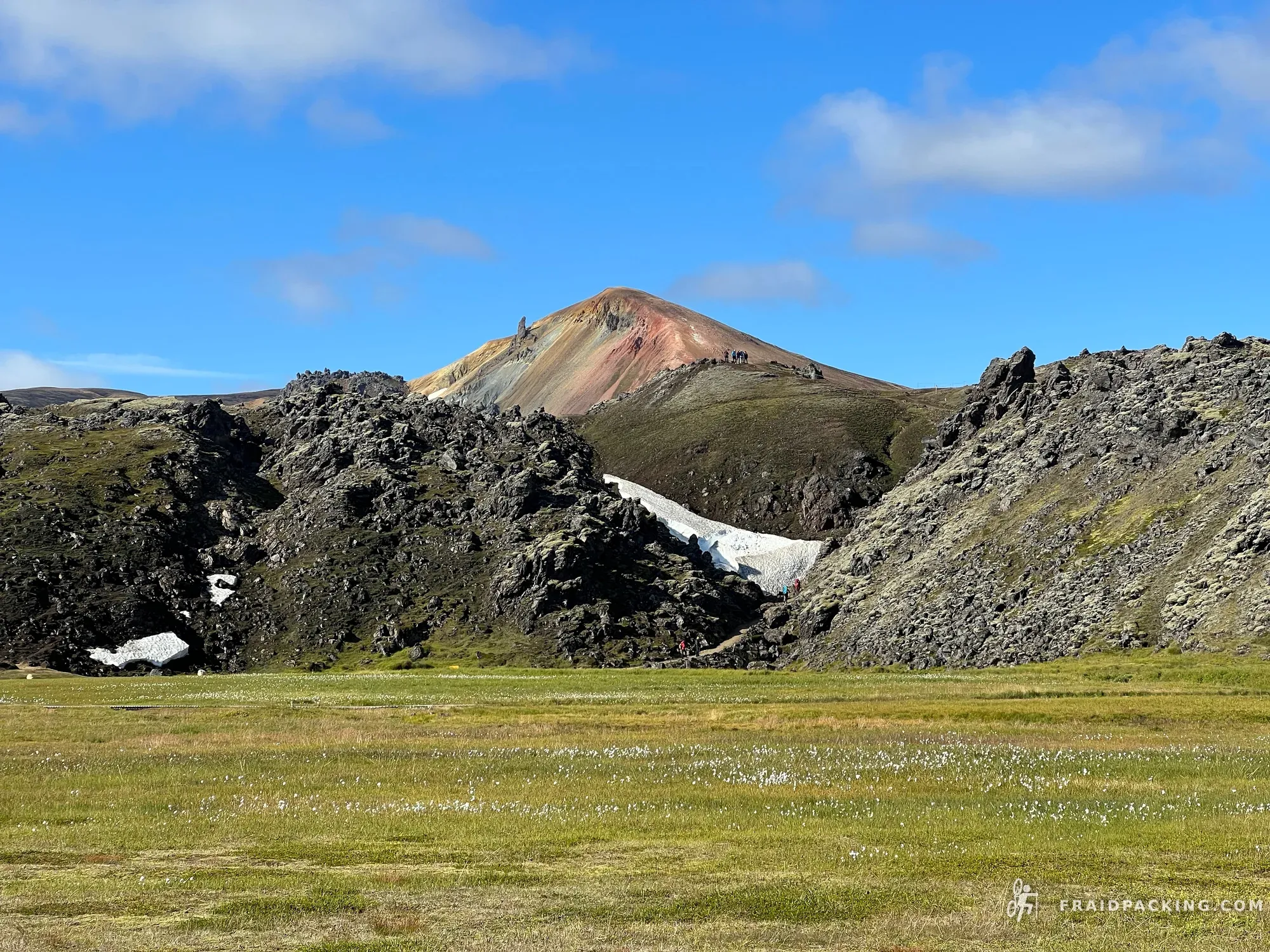
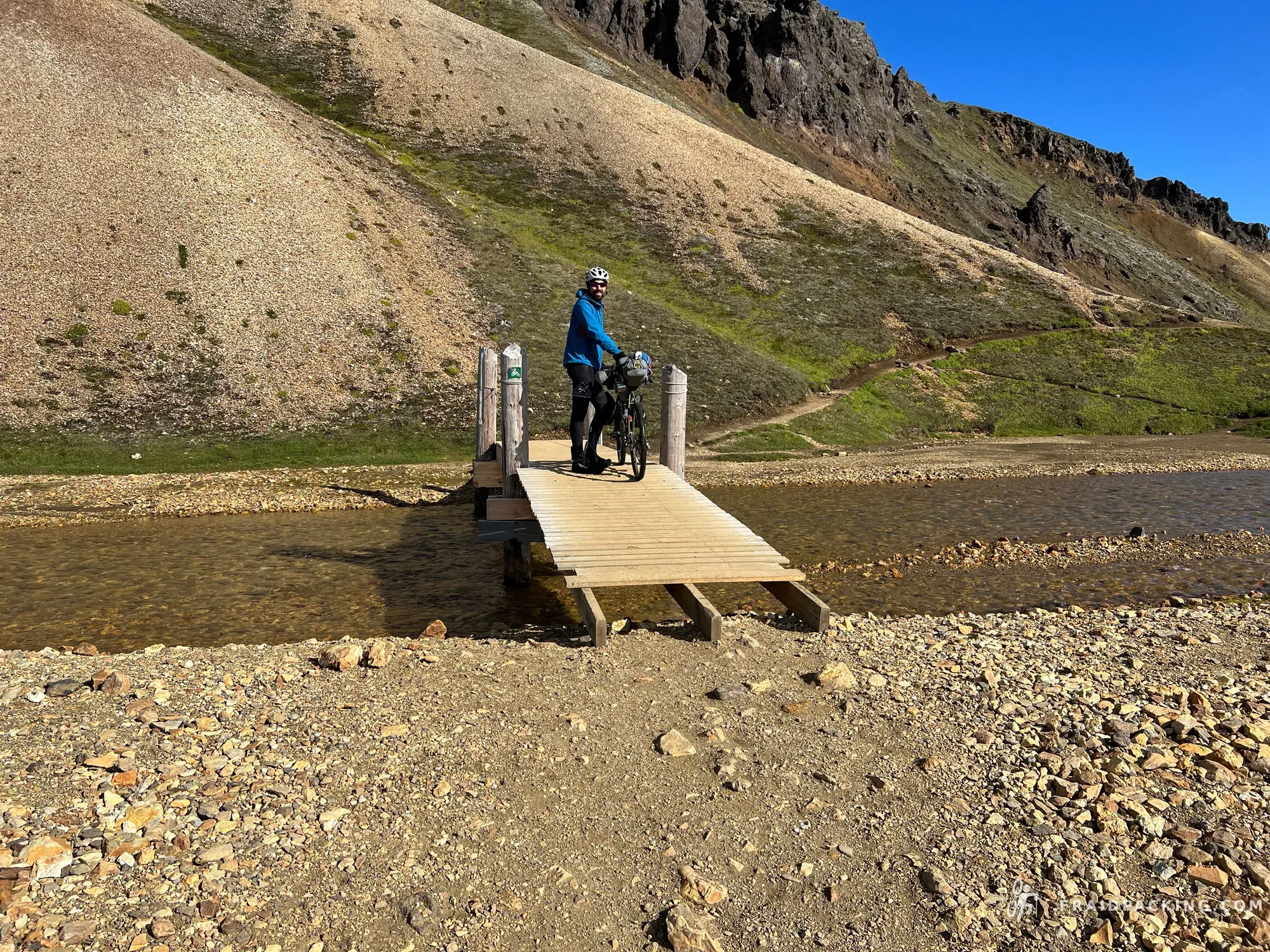
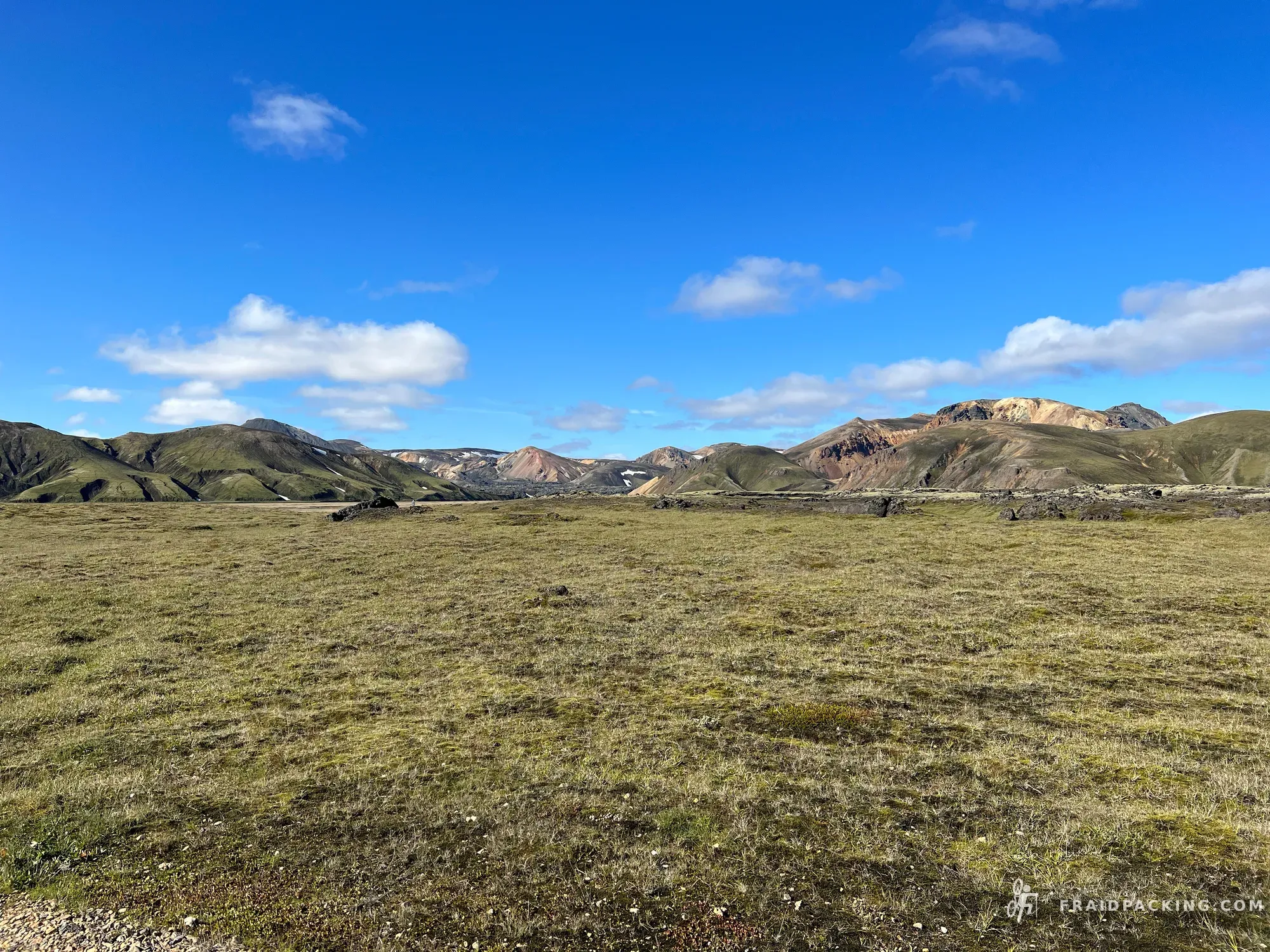
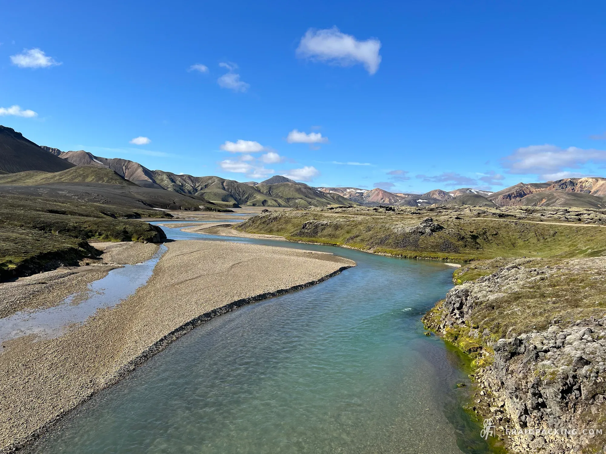
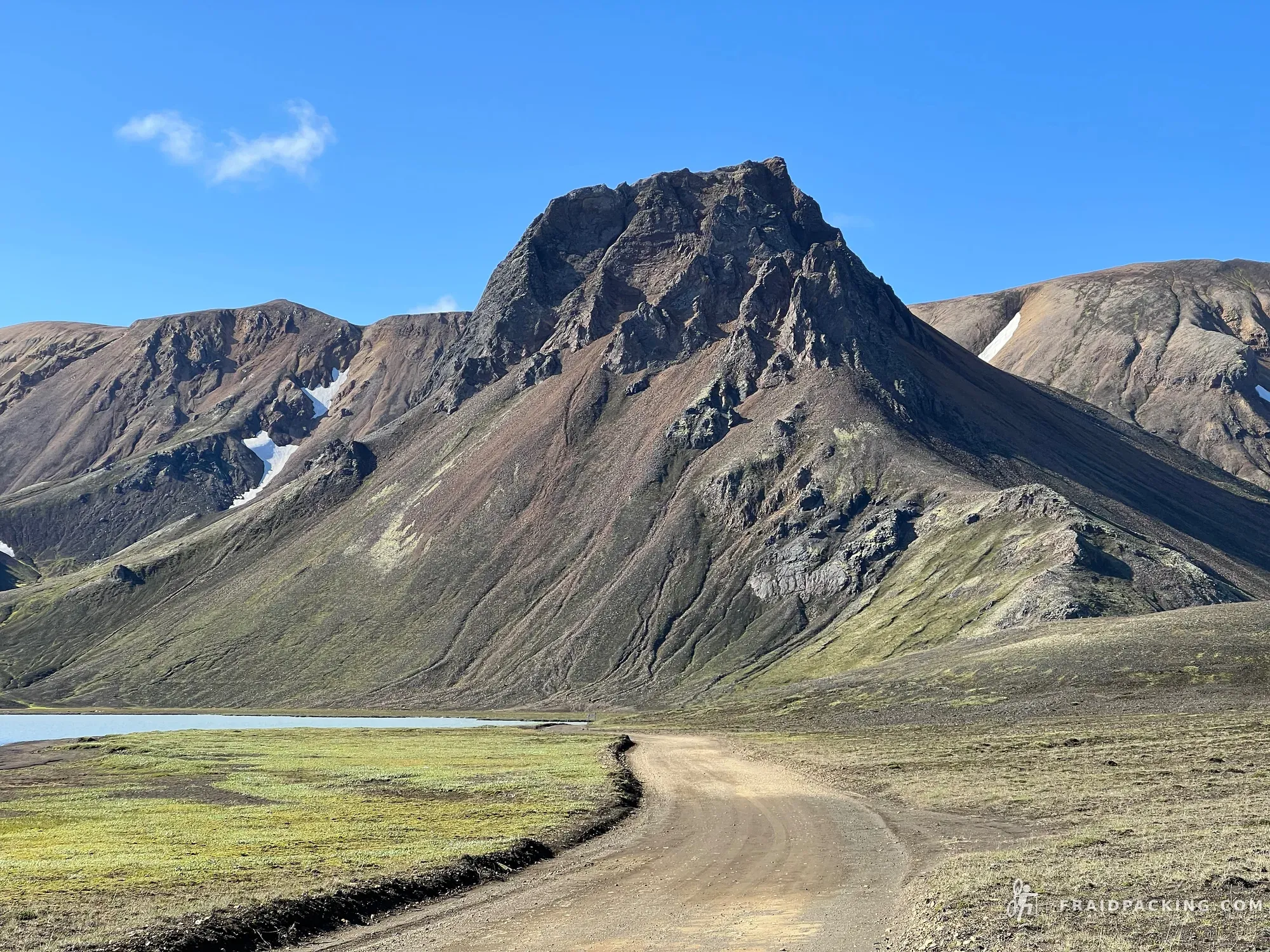
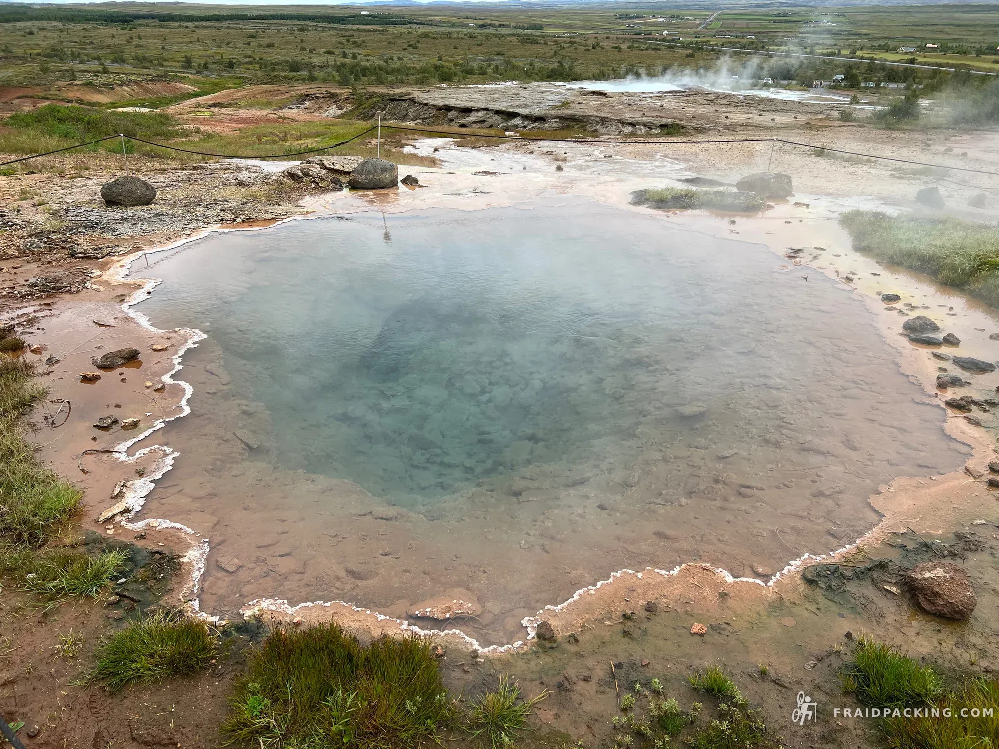
The day begins cold and grey and ends in colour. The landscape shifts gradually as the geology changes — black basalt giving way to the oxidised reds, yellows and greens of the Torfajökull rhyolite mountains. The final approach to Landmannalaugar is almost hallucinatory after four days in the interior. Stayed in the natural hot spring until the cold finally left my bones.
- 6
Landmannalaugar - Hólaskjól
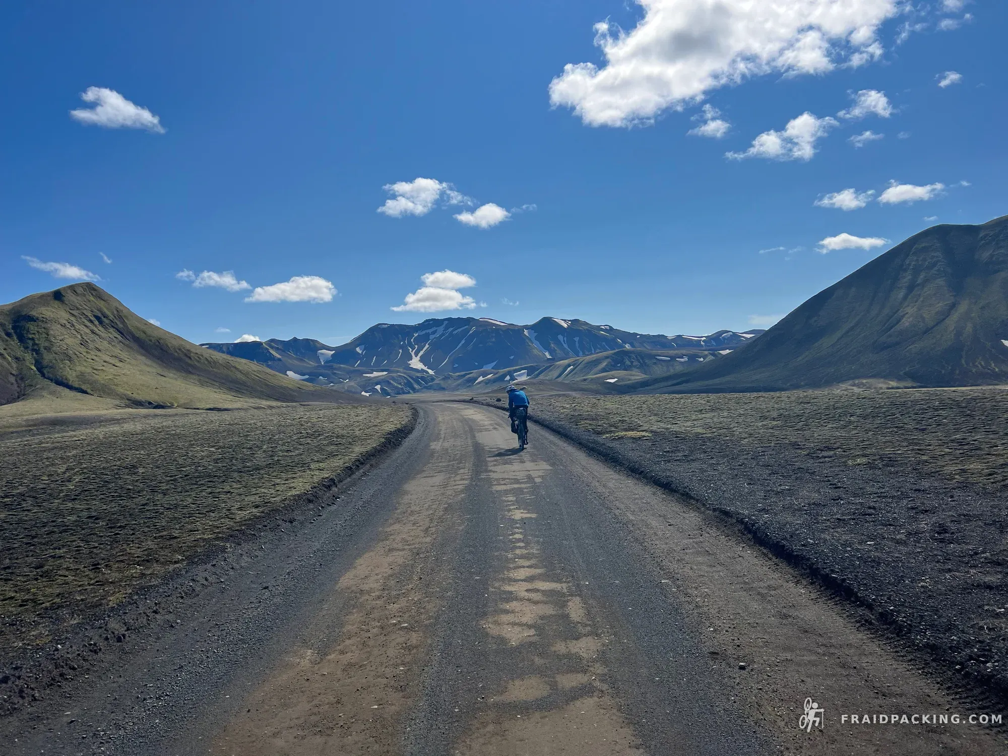
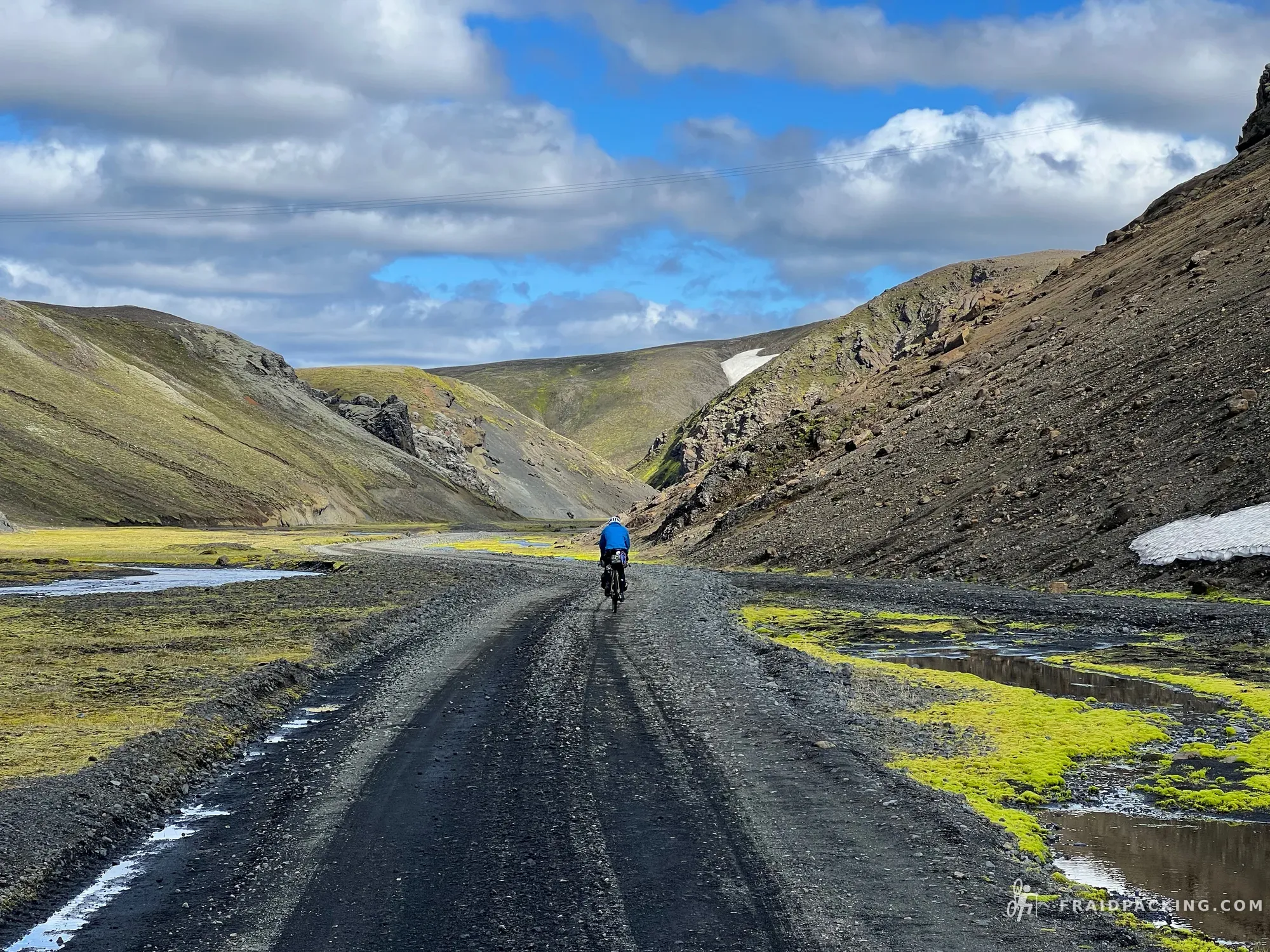
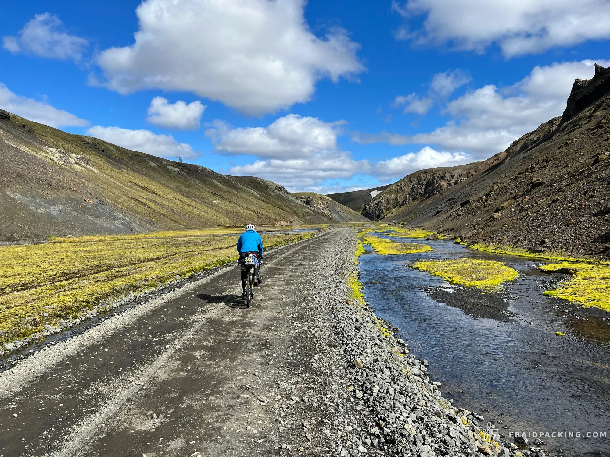
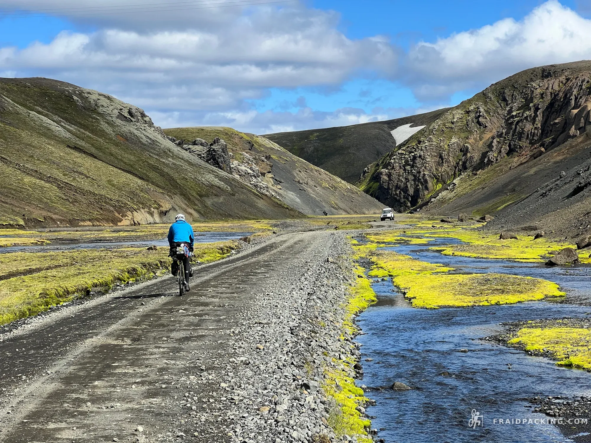
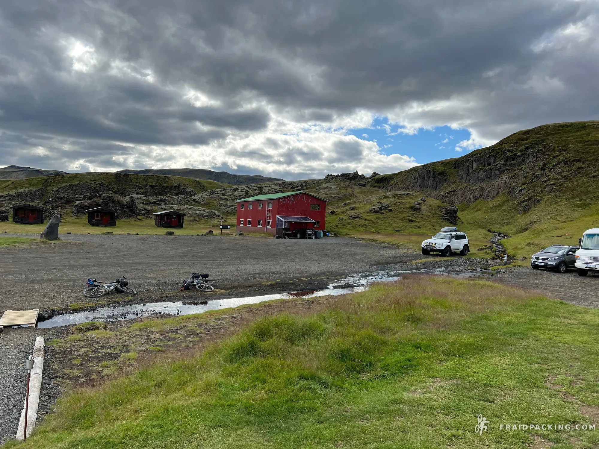
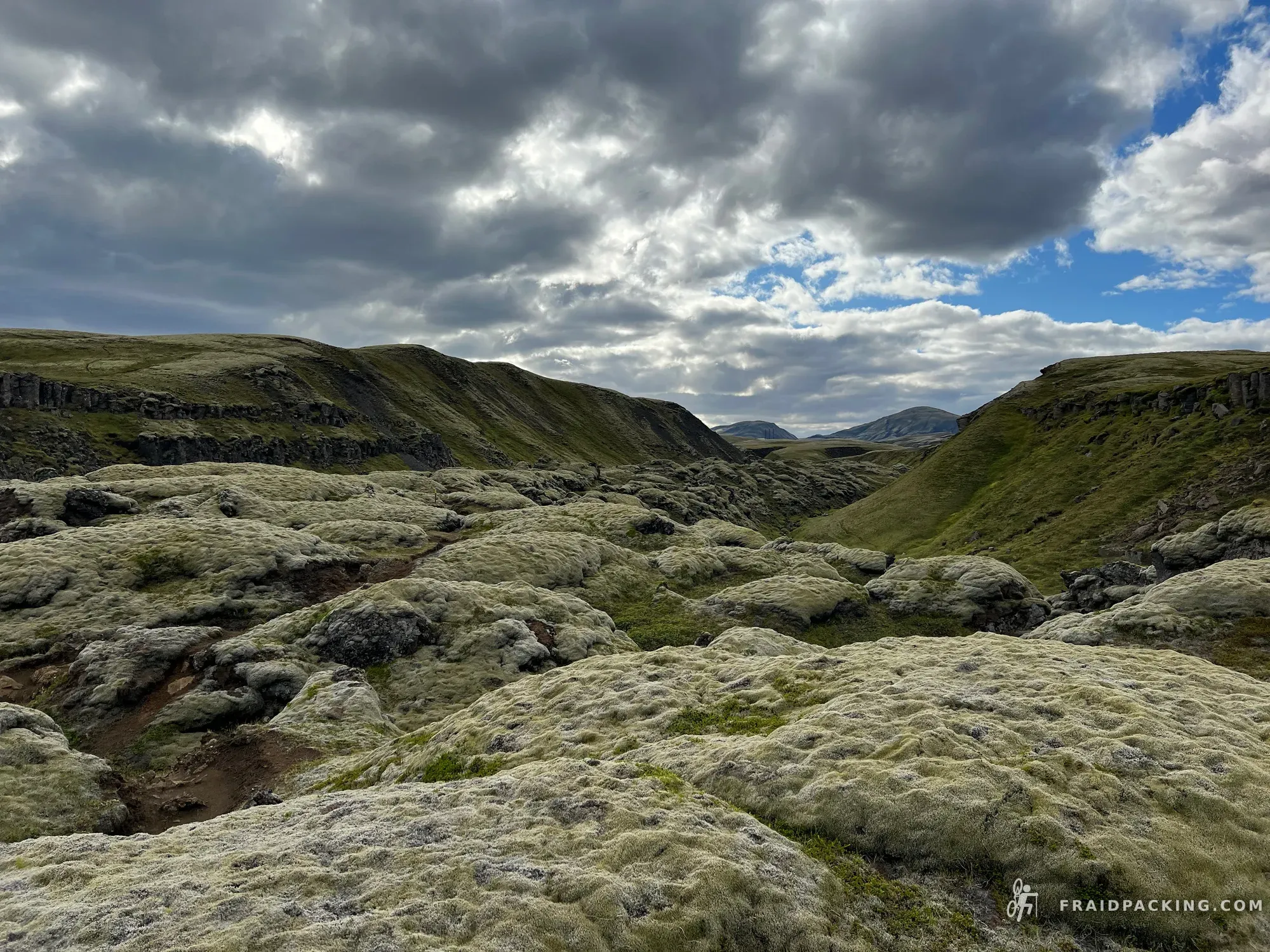
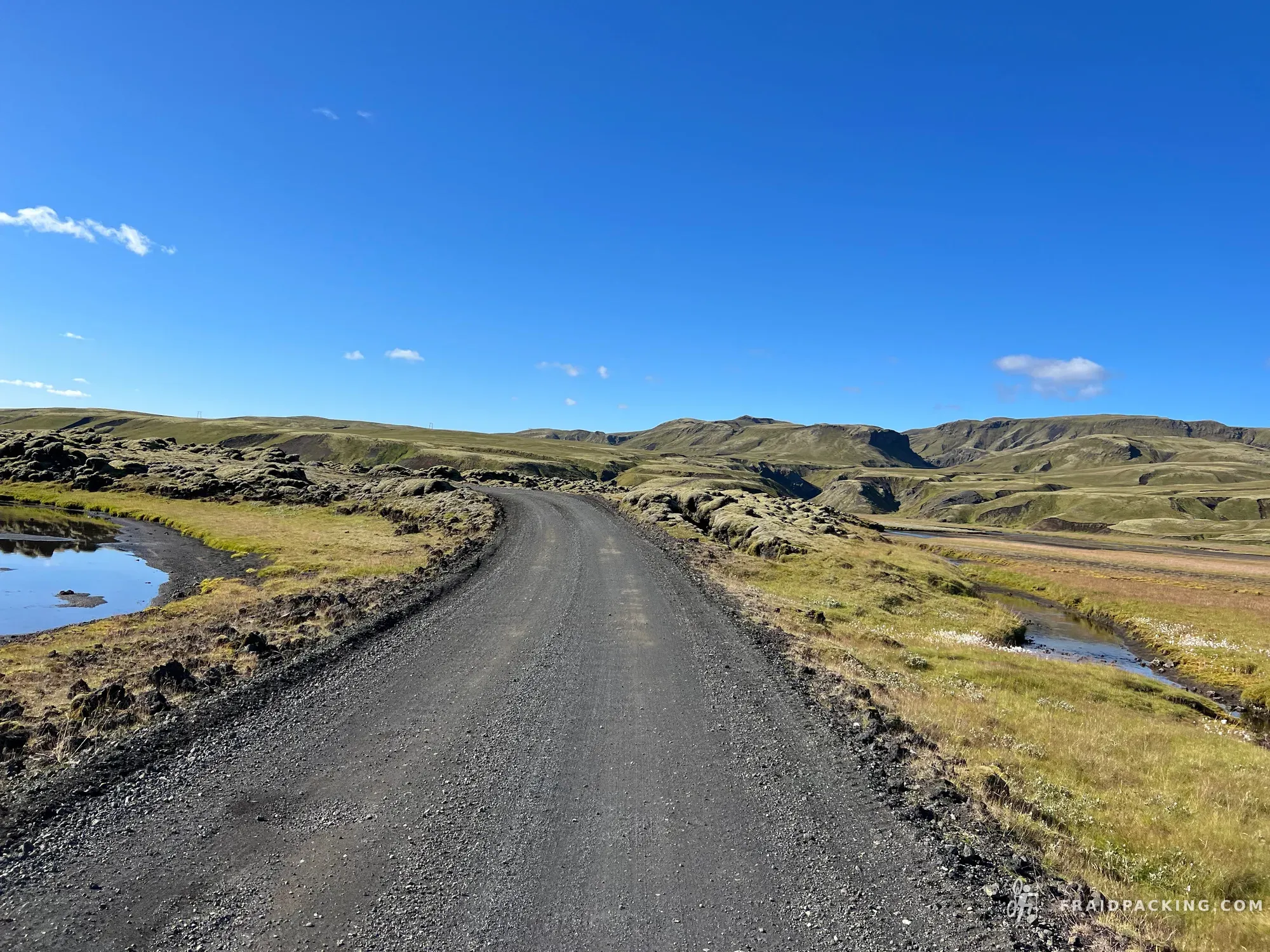
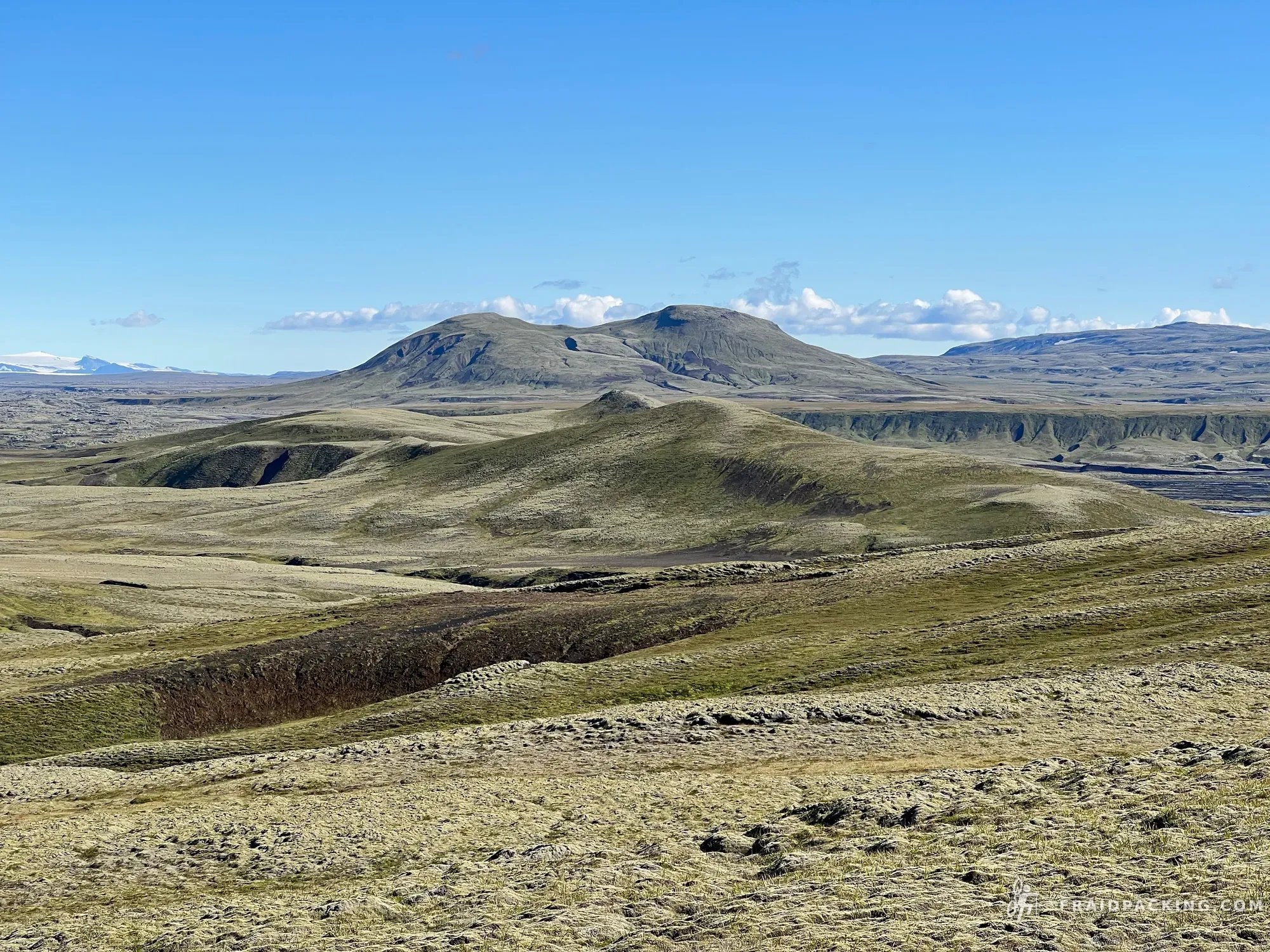
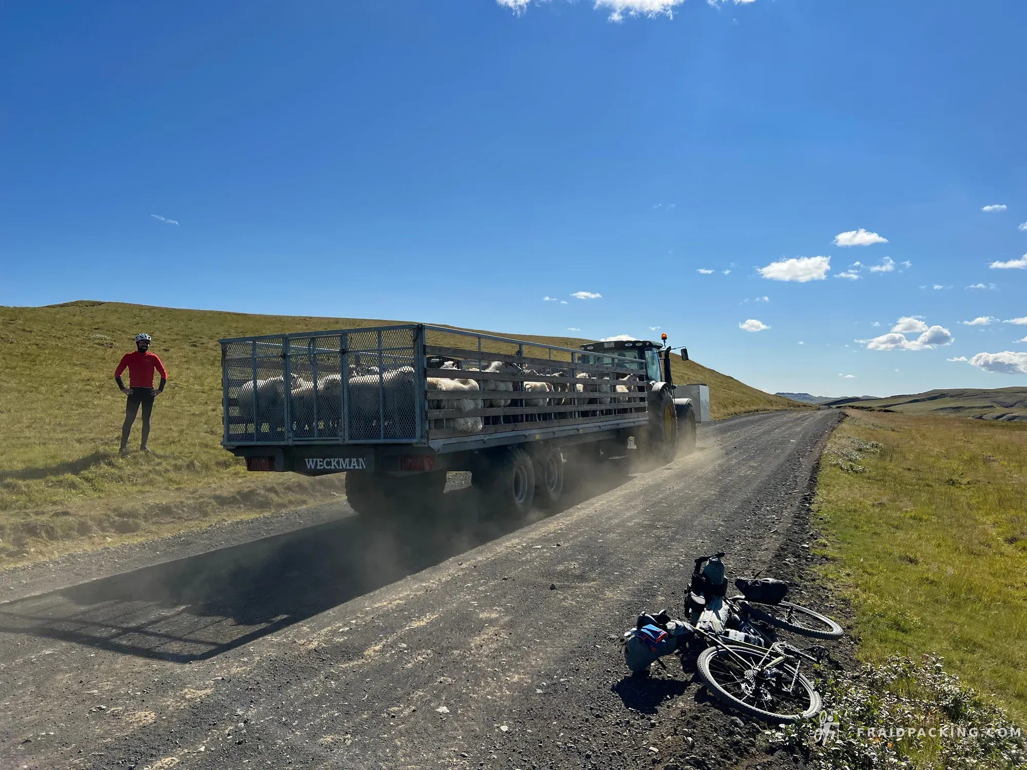
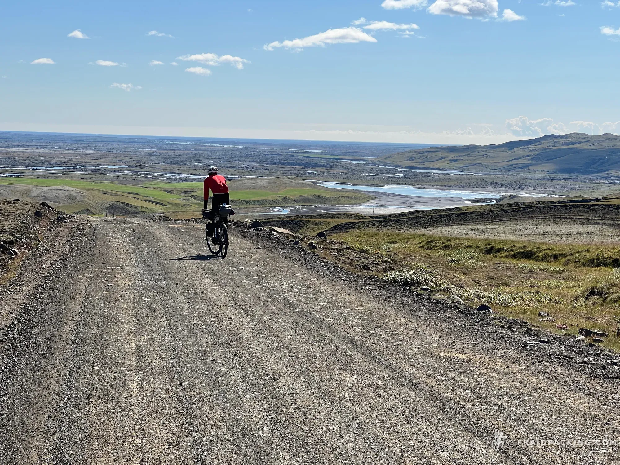
Leaving Landmannalaugar's brief burst of civilization and heading back into empty country. The track crosses ancient lava fields and highland moors, gradually losing altitude toward the south. Long, quiet kilometres through volcanic valleys with no one else around. Hólaskjól sits in a fold in the hills — just a hut, a warden, and the sound of the wind outside the door.
- 7
Hólaskjól - Vik
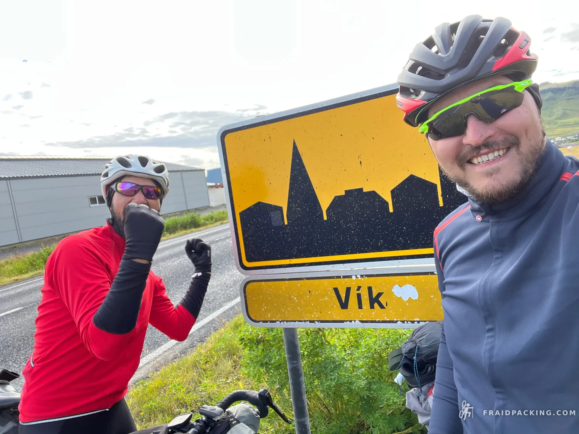
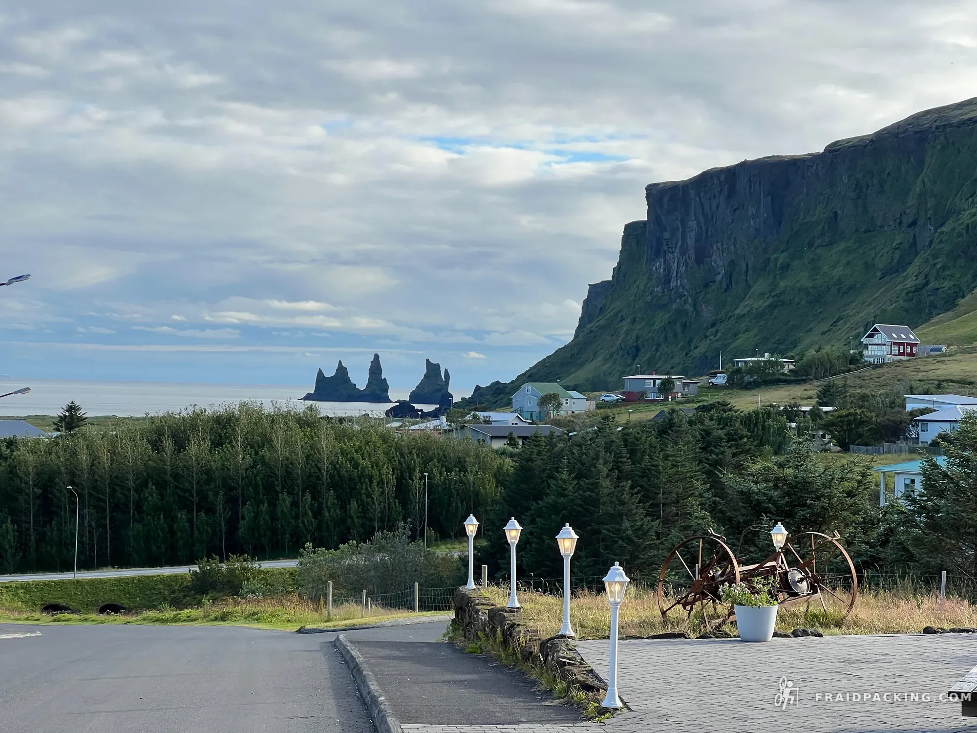
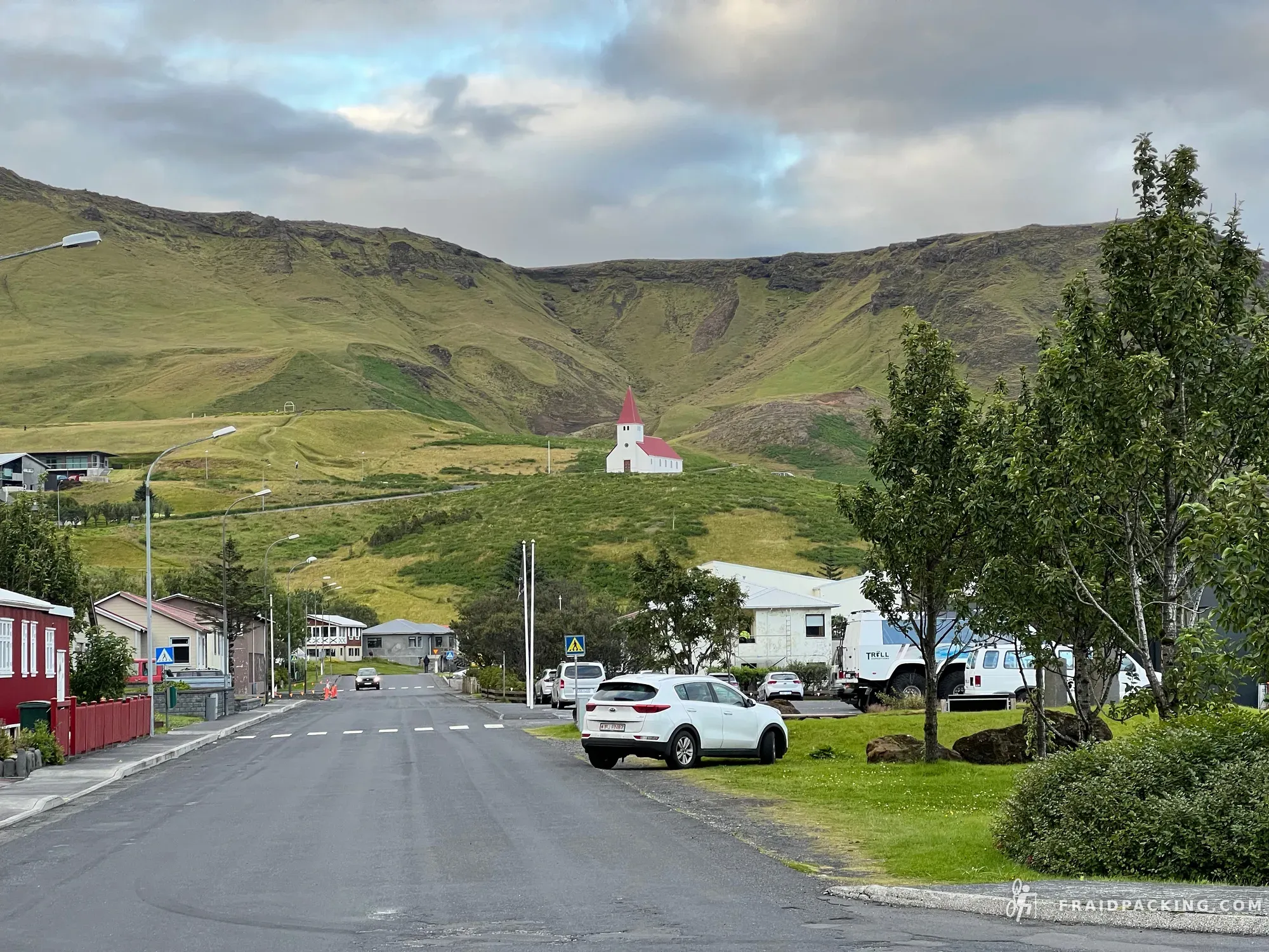
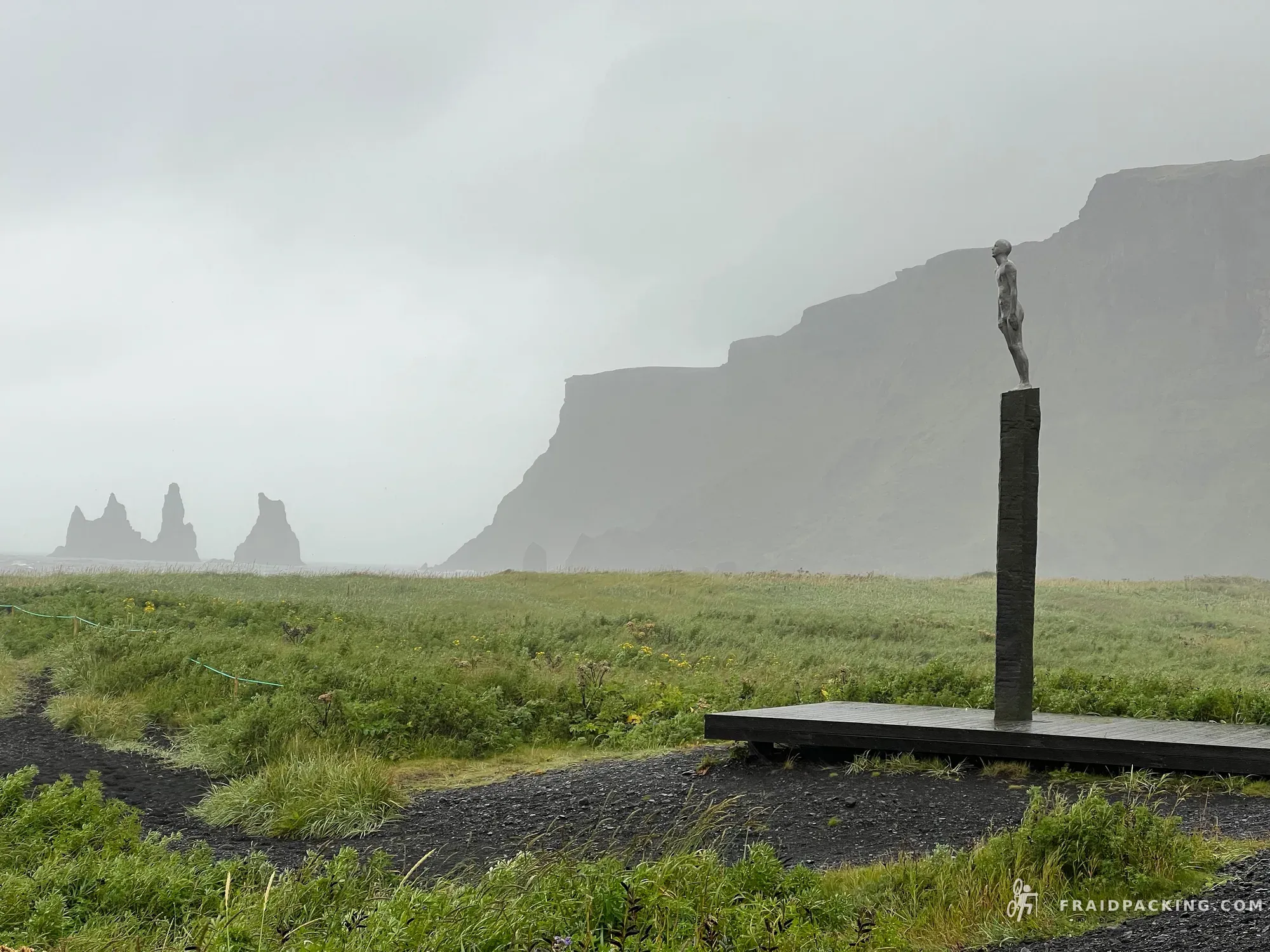
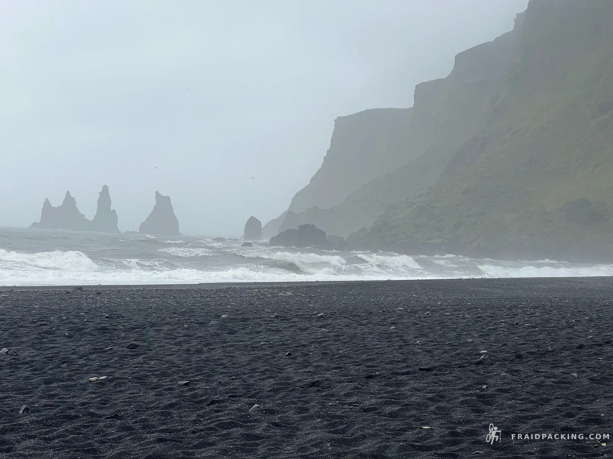
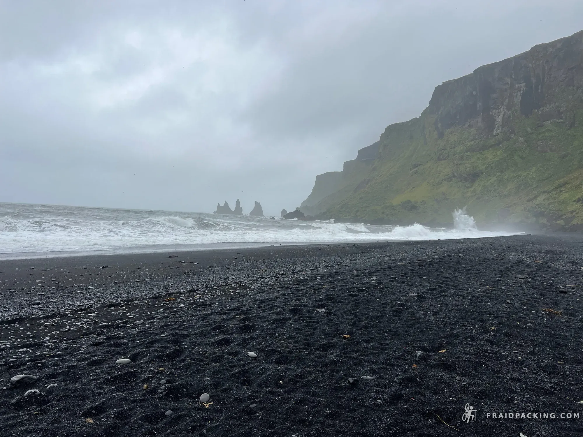
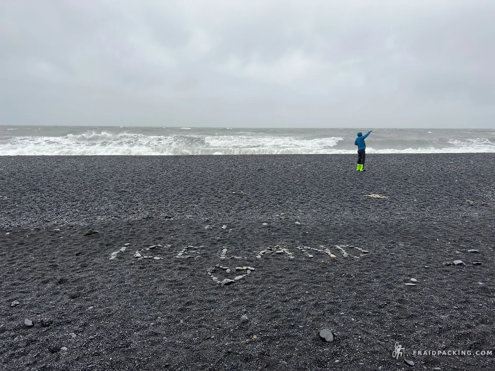
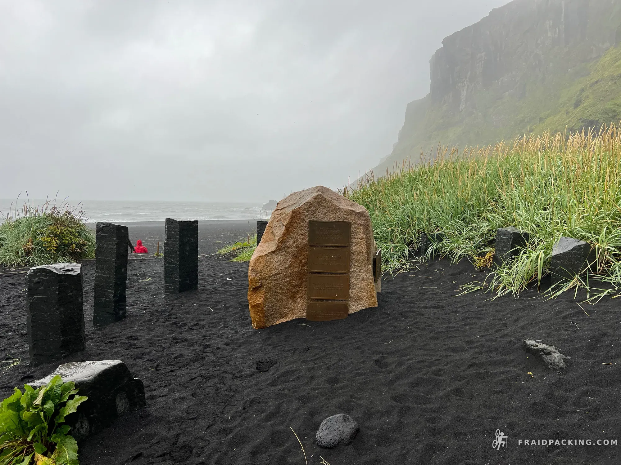
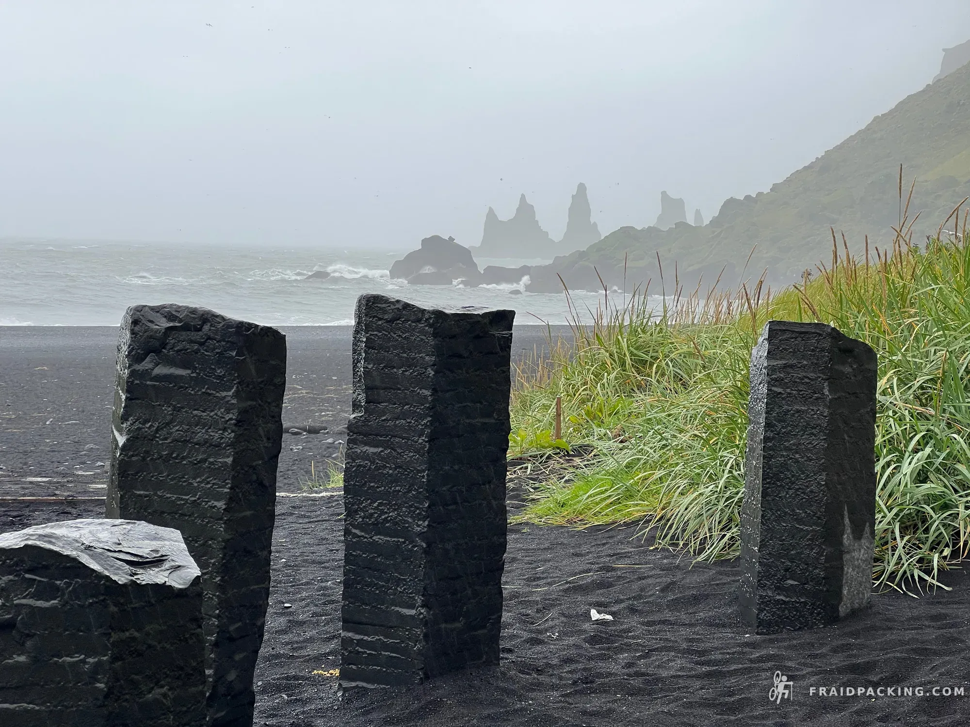
The last day descends from the highlands onto the Mýrdalssandur — a vast black outwash plain under Mýrdalsjökull glacier. Then the coast appears. The Atlantic. Vik's black beach and the sea stacks of Reynisfjara mark the end. Seven days, 700km, and a landscape that rewired something in how I see the rest of the world.
Photos